 Hiking
 Login
Login More
More EN
EN Premium
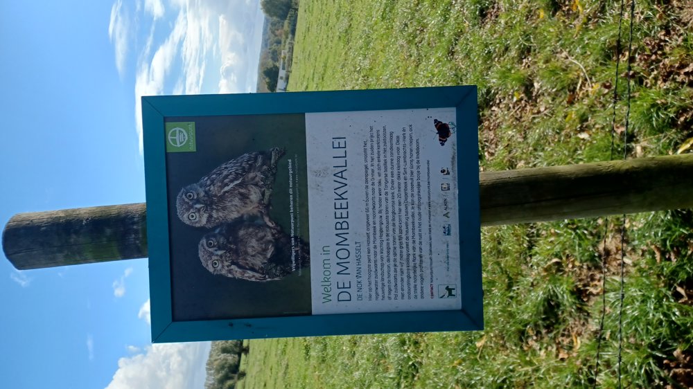
Through the Mombeek Valley
automatic translation
7.8 km • Hasselt
962 0 0/5
7.8 km
0.0 km
0.0 km

 Addresse starting point (approximate)
Wimmertingenstraat 39, 3501 Hasselt, BE
 signage
The route is not signposted. Use a GPS device or our app to follow the route through the virtual nodes.
© Jan Theunis
 Description
Parking: Wimmertingen Cemetery, Grootstraat.
Signage: Virtual junctions.
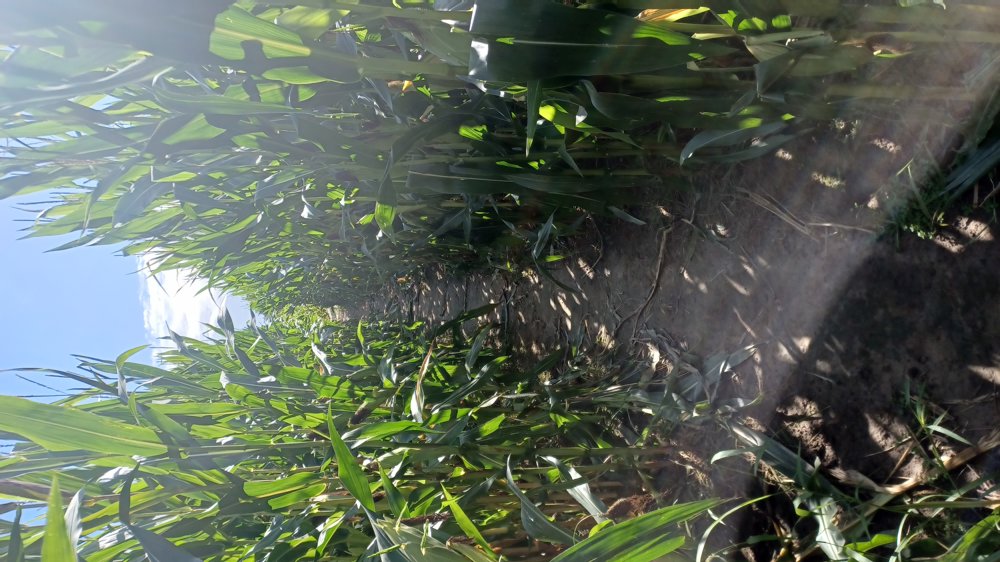
Varied walk through forest, meadows, orchards and even in the middle of a cornfield (as long as it hasn’t been harvested :-) ) and a part goes through the Mombeek valley. In wet weather, some sections can be muddy. About 1/3 is on paved roads.
Rest benches: among others after 3/4 and 6.5 km.
automatic translation
 nodes to follow
0 km

0.1 km
0.3 km
0.4 km
3.6 km
4 km
4.3 km
4.5 km
6.8 km
7.4 km
7.6 km
7.7 km

7.8 km


 Upgrade to Premium Plus
