Loading...

To the skyline of Brussels

automatic translation

8.3 km • Merchtem

140 0 0/5

8.3 km 0.0 km 0.0 km

route offered by

Marc Verelst

Icon starting point Addresse starting point (approximate)

Brusselsesteenweg 411, 1785 Merchtem, BE

Icon type signage of route signage

The route is fully signposted with nodes.

5m 5m 5m 5m
Atmosphere image 1 of route To the skyline of Brussels Atmosphere image 2 of route To the skyline of Brussels Atmosphere image 3 of route To the skyline of Brussels
© Marc Verelst

Icon description route Description

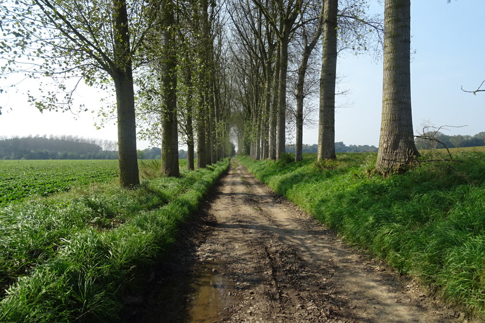
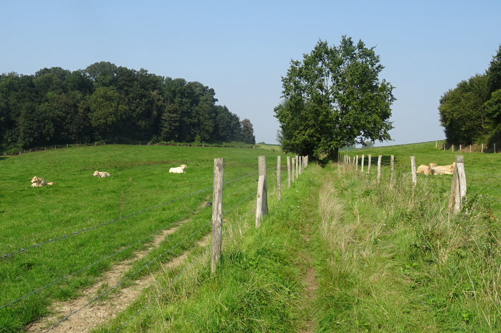
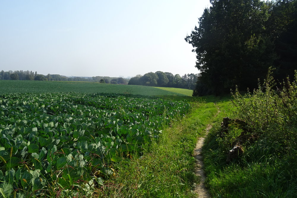
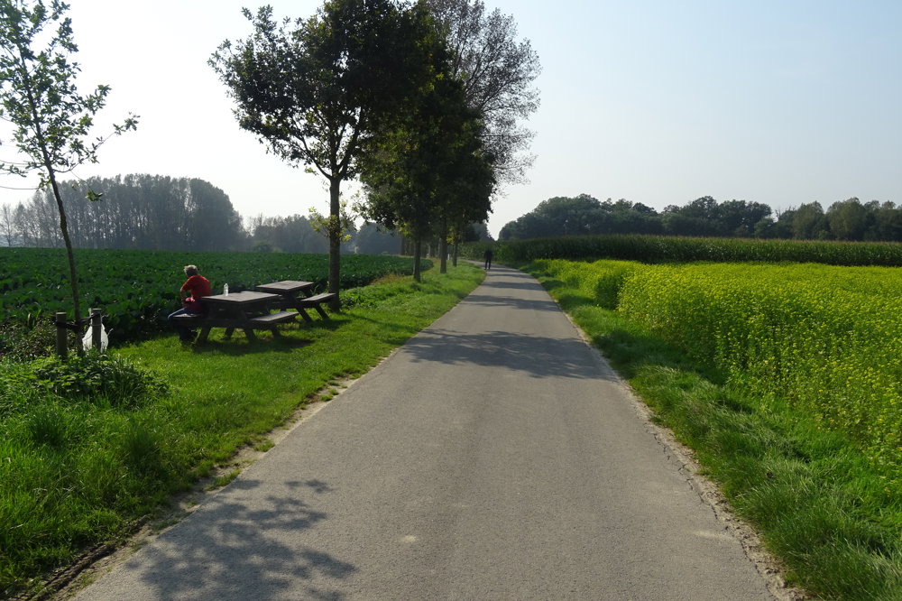
The small Saint John the Baptist Church is the starting point of our walk. You pass the Foeksen Forest, which together with the Wolvendaele Castle Park forms a continuous natural area. The walk is 90% unpaved.

automatic translation

Icon nodes to follow nodes to follow

Image node 423
0 km
Image node 425
0.9 km
Image node 425
1 km
Image node 425
1 km
Image node 503
2.9 km
Image node 503
2.9 km
Image node 504
3.4 km
Image node 506
4.8 km
Image node 507
5.5 km
Image node 546
6 km
Image node 429
7 km
Image node 424
7.6 km
Image node 423
8.3 km
This route does not have any reviews yet. Be the first!
Rate route!

Which POI do you want to show on the map?

Experimental hiking network
Unsigned icon

The route you have chosen runs (partly) along an experimental virtual hiking node network (the blue-coloured nodes and sections on the map).

You must be logged in to plan routes here.

Experimental hiking network
Unsigned icon

The route you have chosen runs (partly) along an experimental virtual hiking node network (the blue-coloured nodes and sections on the map).

These routes are not controlled in the field. Before you start hiking here, take a minute to read what an experimental hiking node network is and what rules you should follow when hiking here.