 Hiking
 Login
Login More
More EN
EN Premium
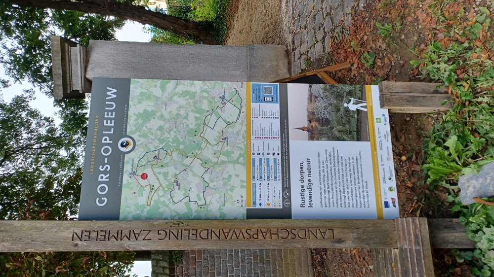
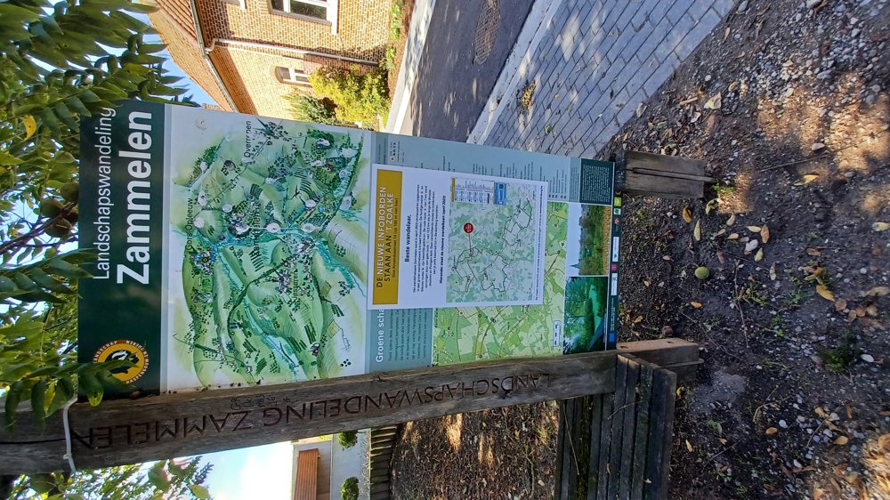
Gors-Zammelen-Gors
automatic translation
7.9 km • Borgloon
5553 0 0/5
7.9 km
0.0 km
0.0 km
10 km
© OpenStreetMap contributors, Tracestrack

 Addresse starting point (approximate)
Martinusstraat 35, 3840 Borgloon, BE
 signage
The route is not signposted. Use a GPS device or our app to follow the route through the virtual nodes.

© Jan Theunis
 Description
Parking: At the church of Gors (Gors-Opleeuw) Martinusstraat.
Signage: Virtual nodes.
You can also follow the blue walk and at the church in Zammelen leave the blue walk and follow the orange signs. You mostly walk on paved roads, but the unpaved sections are nice sections.
Highlights: Fruit orchards.
Rest benches: e.g., after 2.1 / 2.9 (Zammelen) / 4.6 / 5.6 and 6.4 km (Loon ponds).
automatic translation
 nodes to follow
0 km
0.4 km
1.2 km
2.2 km
2.9 km
4 km
4.6 km
5.6 km

6 km
6.4 km
6.8 km
7.4 km
7.8 km

7.9 km


 Upgrade to Premium Plus
