 Hiking
 Login
Login More
More EN
EN Premium
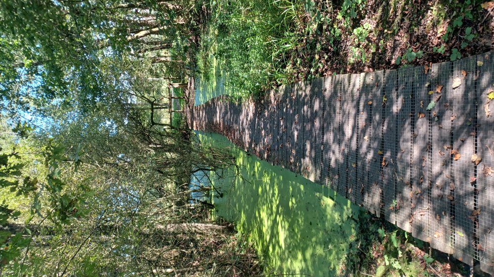
Along the forest brook
automatic translation
8.6 km • Maaseik
3060 0 0/5
8.6 km
0.0 km
0.0 km
10 km
© OpenStreetMap contributors, Tracestrack

 Addresse starting point (approximate)
Kerkplein 6A-6B, 3680 Maaseik, BE
 signage
The route is not signposted. Use a GPS device or our app to follow the route through the virtual nodes.
© Jan Theunis
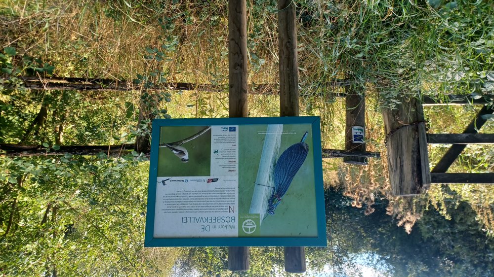
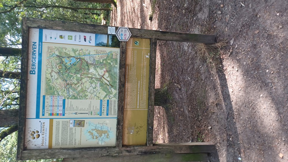
 Description
Parking: Kerkplein Opoeteren
Signage: Virtual junctions: so junction points app or GPS
Nice walk, especially the section along the Bosbeek is beautiful.
Mostly through the woods with a steep climb between junction 160-166.
Rest benches: among others after 2.1/3.5/4.4/4.9 and 8.5 km.
automatic translation
 nodes to follow
0 km
0.4 km
1.9 km
2.9 km
3.2 km
4.4 km
4.5 km
4.6 km
4.8 km
5.7 km
6.1 km
6.5 km
6.9 km
7.9 km
8.4 km
8.6 km

8.6 km


 Upgrade to Premium Plus
