 Hiking
 Login
Login More
More EN
EN Premium
Nature Reserve "Valley of the Black Brook"
automatic translation
7.2 km • Beringen
2051 0 0/5
7.2 km
0.0 km
0.0 km

 Addresse starting point (approximate)
Grauwe Steenstraat 7, 3582 Beringen, BE
 signage
The route is not signposted. Use a GPS device or our app to follow the route.
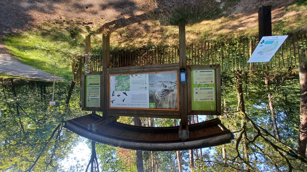
© Jan Theunis
 Description
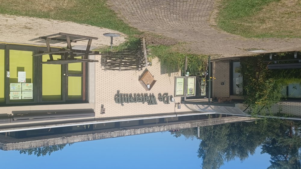
Parking: De Watersnip, Grauwe Steenstraat Koersel
Signage: Hiking app or GPS
Nature reserve "Valley of the Zwarte Beek"
Walking along the military domain and through the forests of "Koersel Kapelleke"
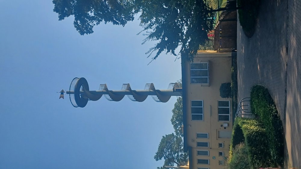
Highlight: Observation tower Koersel Kapelleke / nature center "De Watersnip"
Rest benches: after 4.3/4.6/5 and 6.3 km
Catering: Nature. Café at De Watersnip and at the playground.
automatic translation


 Upgrade to Premium Plus
