 Hiking
 Login
Login More
More EN
EN Premium
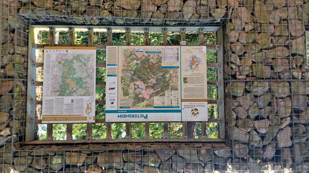
Hoge Kempen National Park - Pietersheim
automatic translation
8.5 km • Lanaken
3113 0 0/5

 Addresse starting point (approximate)
Neerharenweg 19, 3620 Lanaken, BE
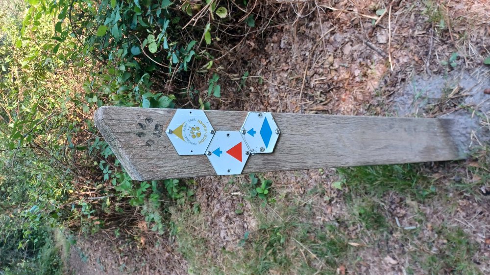
 signage
The route is not signposted. Use a GPS device or our app to follow the route through the virtual nodes.
 Description
Parking: Kinderboerderij Pietersheim, Neerharenweg Lanaken.
Signposting: Red triangle or Virtual junctions.
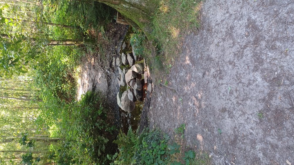
This is a shortened version of the red triangle. Join the red triangle and therefore start and stop at the parking lot. If you follow the red triangle completely, it is 11.2 km long and is one of the two hikes in Belgium that belong to the 'Premium Wanderwege'. The entire walk goes over unpaved forest paths of the Pietersembos. Very quiet and beautiful walk.
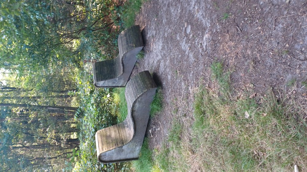
Benches: among others after 4, 6.5 and 8 km
Catering: Cafetaria Hoeve Pietersheim (200 m from the parking lot).
automatic translation
 nodes to follow
0 km
0.7 km
0.9 km
2.6 km
3.2 km
5.6 km
6.5 km
7.3 km
8 km
8.4 km
8.5 km


 Upgrade to Premium Plus
