 Hiking
 Login
Login More
More EN
EN Premium
Through the Gruitroder Forest
automatic translation
7.5 km • Oudsbergen
1470 0 0/5
7.5 km
0.0 km
0.0 km

 Addresse starting point (approximate)
Phil Bosmansplein 1, 3670 Meeuwen-Gruitrode, BE
 signage
The route is not signposted. Use a GPS device or our app to follow the route through the virtual nodes.
© Jan Theunis
 Description
Parking: Phil Bosmansplein, Gruitrode (Oudsbergen)
Signage: Virtual junctions.
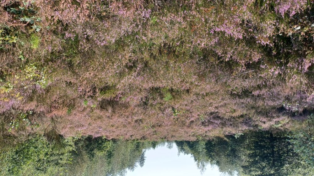
The 1st and last km are on paved roads, the rest of the walk goes through the beautiful Gruitroderbos. If you come at the right time, you will also see the heather in bloom.
Highlight: Commandery of Gruitrode.
Rest benches: e.g., after 2.3 km (at the forest chapel)/4.5 km/5.3 km and 6 km.
Catering: De Kastelein (opposite the parking)
automatic translation
 nodes to follow
0 km
0.1 km
0.7 km
1.1 km
2.2 km
3 km
3.4 km
5.1 km
6 km

6.3 km
6.6 km
6.8 km
7.4 km
7.5 km


 Upgrade to Premium Plus
