 Hiking
 Login
Login More
More EN
EN Premium
Vlieringen walk
9.1 km • Halle
4782 1 5/5
route offered by
Toerisme Halle
 Addresse starting point (approximate)
Ninoofsesteenweg 648
 signage
The route is fully signposted with nodes.
 Description
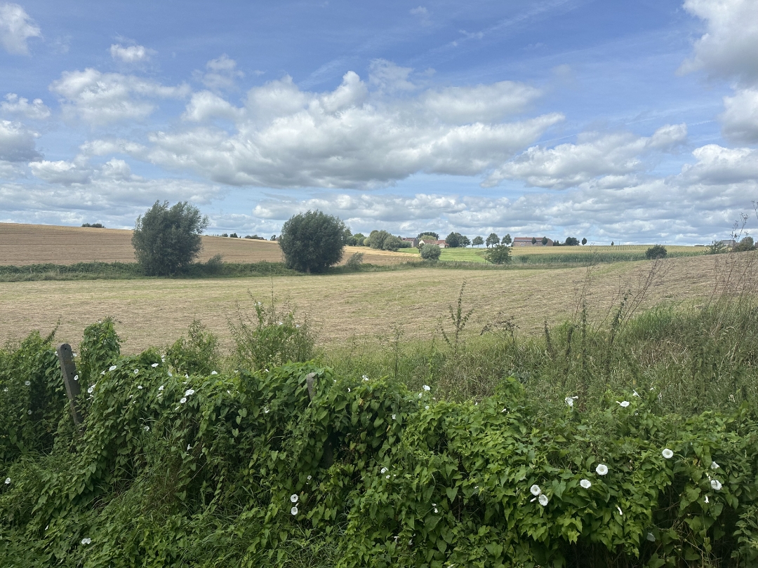
This walk runs past the lavish villas of Vlieringen Park and explores the green Hal border with Sint-Pieters-Leeuw. In the distance, we see the church of Breedhout and through a mix of pretty footpaths and paved roads, we reach 'Alsput'. The last part of this tour takes us to the edge of the Grote Weide and so back to the starting point on the Ninoofsesteenweg. Enjoy the picturesque landscapes and also be surprised along the way by the presence of frolicking cows, beautiful horses, numerous sheep and donkeys.
This walk is offered by the city of Halle in cooperation with tourism Flemish Brabant.
 nodes to follow
0 km
0.2 km
1 km
1.5 km
2.2 km
4.4 km
4.8 km
5.5 km
6.3 km
7.2 km
8.4 km
9.1 km


 Upgrade to Premium Plus
