Loading...

Walking through the water

automatic translation

8.2 km • Hasselt

700 0 0/5

8.2 km 0.0 km 0.0 km

route offered by

Jan Theunis

Icon starting point Addresse starting point (approximate)

Putvennestraat 141, 3500 Hasselt, BE

Icon type signage of route signage

The route is not signposted. Use a GPS device or our app to follow the route through the virtual nodes.

5m 5m 5m 5m
Atmosphere image 1 of route Walking through the water Atmosphere image 2 of route Walking through the water Atmosphere image 3 of route Walking through the water
© Jan Theunis

Icon description route Description

Parking: Children's Farm Kiewit, Putvennestraat Hasselt

Signposting: Partly virtual nodes, use the hiking app or GPS.

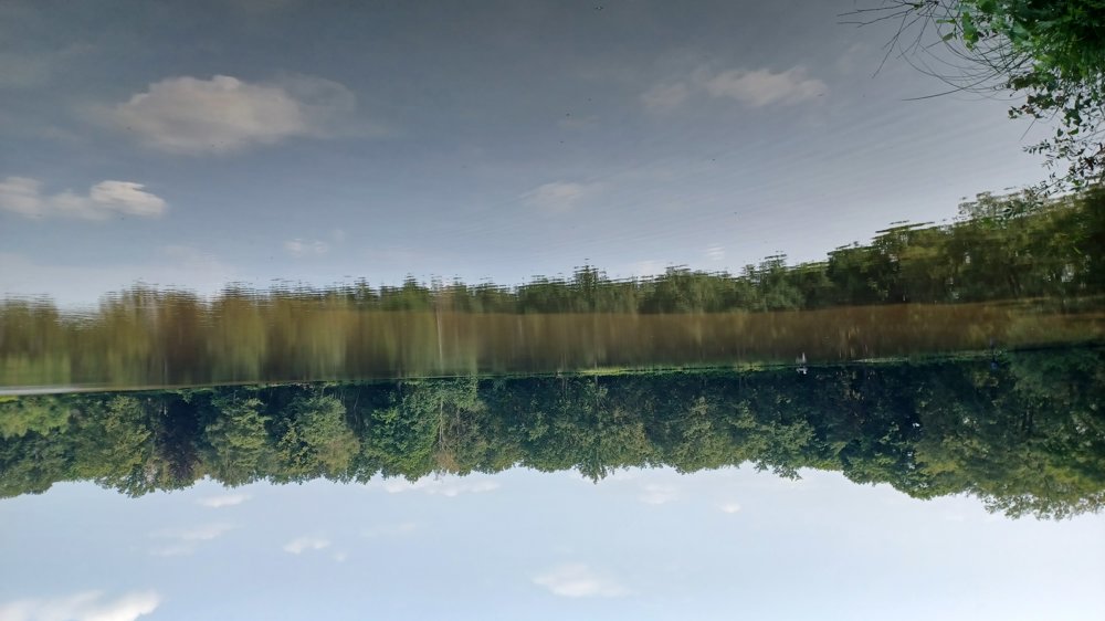
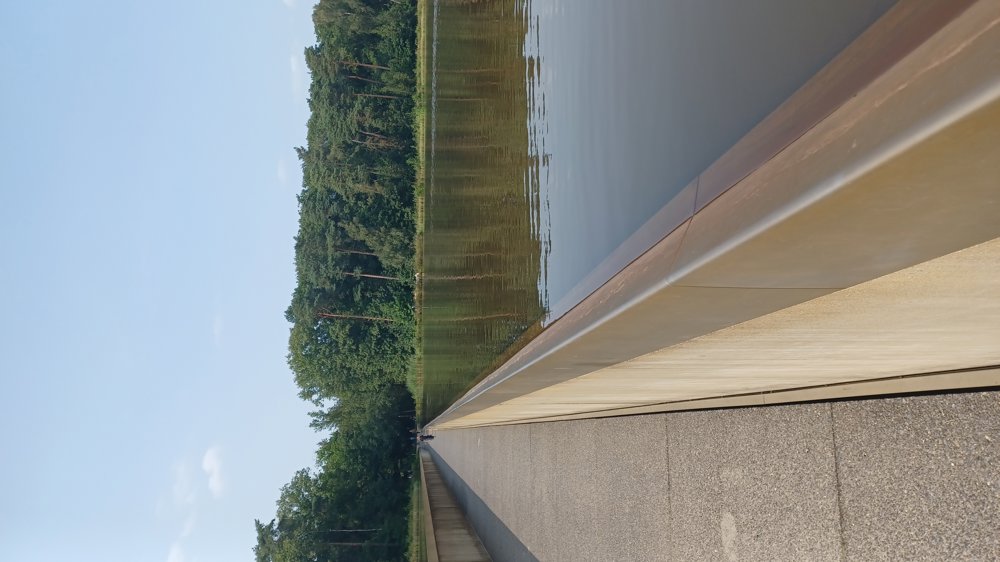
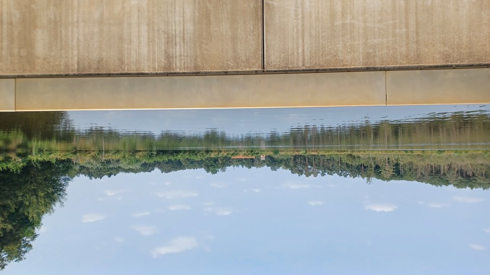
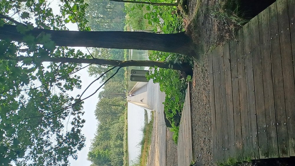
Through the woods to Bokrijk.

Beautiful walk where you walk through “Cycling through Water”.

Between nodes 33 and 26, it is very muddy in wet weather, continue walking on the Grootboomweg until you reconnect with the original route.

Highlight: “Cycling through Water”

Benches: e.g. after 1.9/4.7/5.6/6.4/7.4 km

Catering: Domaine Kiewit “Koe-vert”

automatic translation

Icon nodes to follow nodes to follow

Icon start route
0 km
Icon deviation route
0.1 km
Image node 33
0.3 km
Image node 26
0.7 km
Image node TP
1.8 km
Icon deviation route
2 km
Icon deviation route
2.2 km
Icon deviation route
2.4 km
Icon deviation route
2.8 km
Icon deviation route
3.1 km
Icon deviation route
3.2 km
Icon deviation route
3.6 km
Icon deviation route
5 km
Icon deviation route
5.5 km
Icon deviation route
5.7 km
Icon deviation route
5.9 km
Icon deviation route
6.2 km
Icon deviation route
6.6 km
Icon deviation route
7.1 km
Icon deviation route
7.7 km
Icon stop route
8.2 km
This route does not have any reviews yet. Be the first!
Rate route!

Which POI do you want to show on the map?

Experimental hiking network
Unsigned icon

The route you have chosen runs (partly) along an experimental virtual hiking node network (the blue-coloured nodes and sections on the map).

You must be logged in to plan routes here.

Experimental hiking network
Unsigned icon

The route you have chosen runs (partly) along an experimental virtual hiking node network (the blue-coloured nodes and sections on the map).

These routes are not controlled in the field. Before you start hiking here, take a minute to read what an experimental hiking node network is and what rules you should follow when hiking here.