 Hiking
 Login
Login More
More EN
EN Premium
Bosland - Pijnven
automatic translation
8.5 km • Hechtel-Eksel
2320 0 0/5
8.5 km
0.0 km
0.0 km
10 km
© OpenStreetMap contributors, Tracestrack

 Addresse starting point (approximate)
Kiefhoekstraat 7B, 3940 Hechtel-Eksel, BE
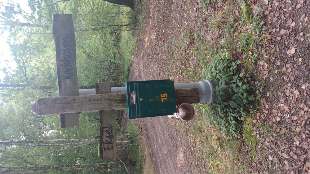
 signage
The route is partially signposted with nodes. Use a GPS device or our app to follow the route.
© Jan Theunis
 Description
Parking: Kiefhoekstraat Hechtel-Eksel (parking at the fishing pond)
Signposting: Partially junction points, use the walking app or GPS.
Through the forests of the national park Bosland (Pijnven).
Nice walk, but in several places the moor grass is 1m high, unfortunately, it is not maintained. Either you let nature take its course and remove the junction points, or you maintain the walking paths.
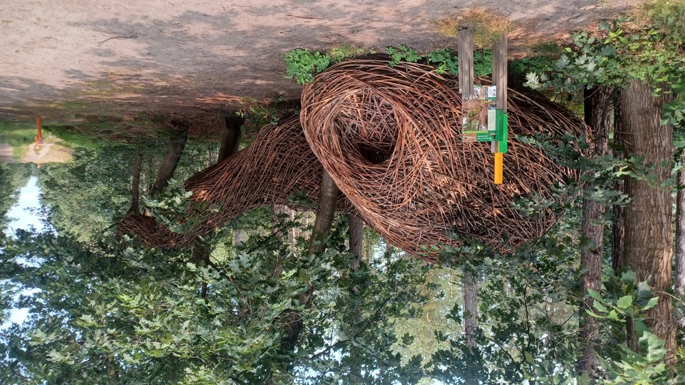
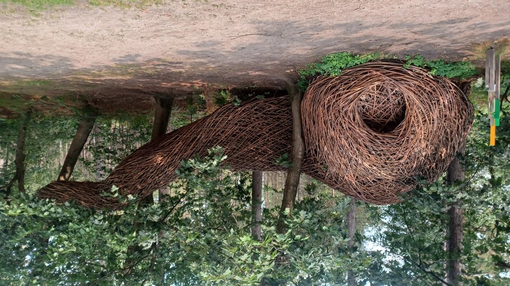
Eye-catcher: artwork "in the tree" (7.6 km)
Rest benches: none
automatic translation
 nodes to follow
0 km

0.1 km
0.2 km
0.4 km
0.6 km
0.9 km
1.6 km
2.2 km
3.6 km
5.1 km
5.5 km
5.7 km
6.3 km
6.5 km
6.7 km
7 km
7.4 km
7.5 km
7.8 km
7.9 km
8.1 km
8.3 km
8.3 km
8.3 km

8.5 km


 Upgrade to Premium Plus
