 Hiking
 Login
Login More
More EN
EN Premium
Akrenboswandeling
10 km • 1547 Bever
 official route
1.1150 0 0/5
10 km
0.0 km
0.0 km
10 km
© OpenStreetMap contributors, Tracestrack
route offered by
 Addresse starting point (approximate)
Sint-Gereonkerk, Akrenbos 64
 signage
The route is fully signposted with nodes.
© Steff Gilissen
 Description
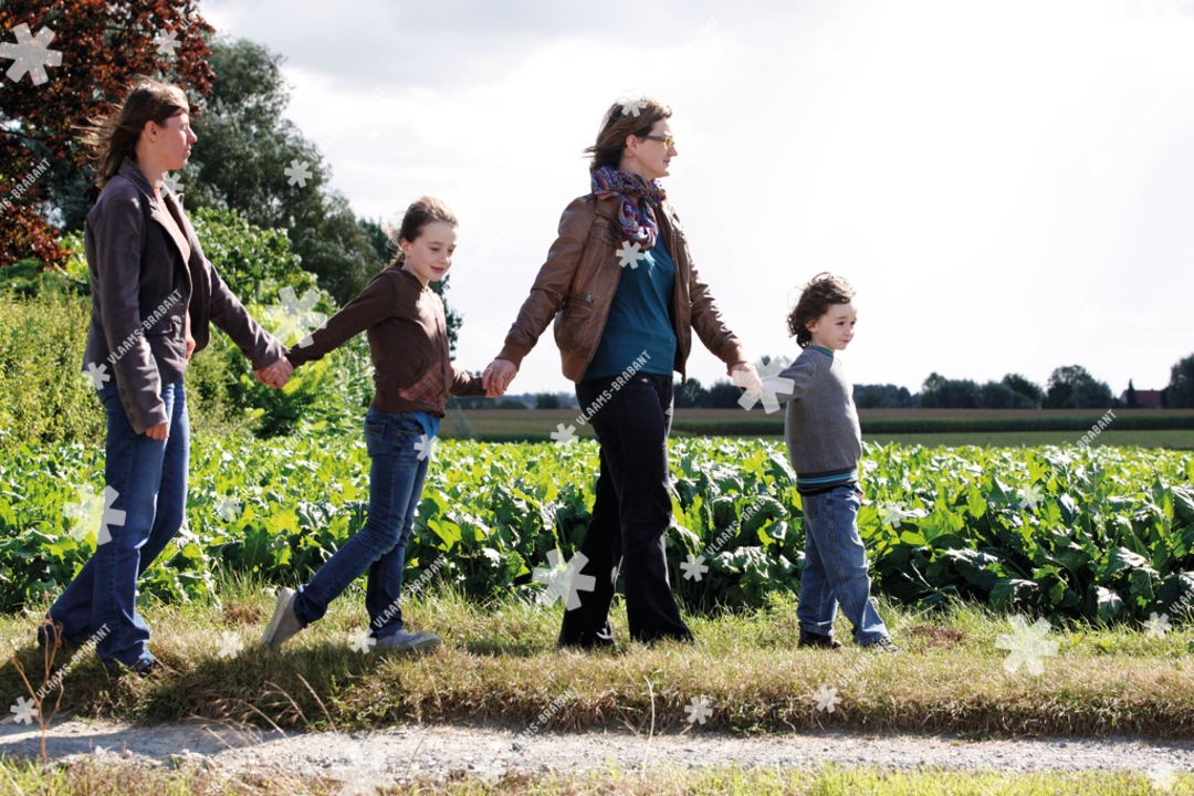
The westernmost tip of the Pajottenland takes you through the hamlet of Akrenbos in Beaver. Fields and meadows alternate with the shadows of the 210-hectare Akrenbos. You walk close to East Flanders, but also along the language border and along the Domain Akrenbos with many weekend cottages. Pure enjoyment of the peaceful surroundings.
automatic translation
 nodes to follow
0 km

0.2 km
0.6 km
1.2 km
2.6 km
2.7 km
3.9 km
5 km
7.6 km
8.4 km
9.1 km
9.8 km

10 km


 Upgrade to Premium Plus
