 Hiking
 Login
Login More
More EN
EN Premium
Donderslag Parking 2
automatic translation
8 km • Oudsbergen
3271 0 0/5
8 km
0.0 km
0.0 km
10 km
© OpenStreetMap contributors, Tracestrack

 Addresse starting point (approximate)
Leemkuilstraat 20, 3660 Opglabbeek, BE
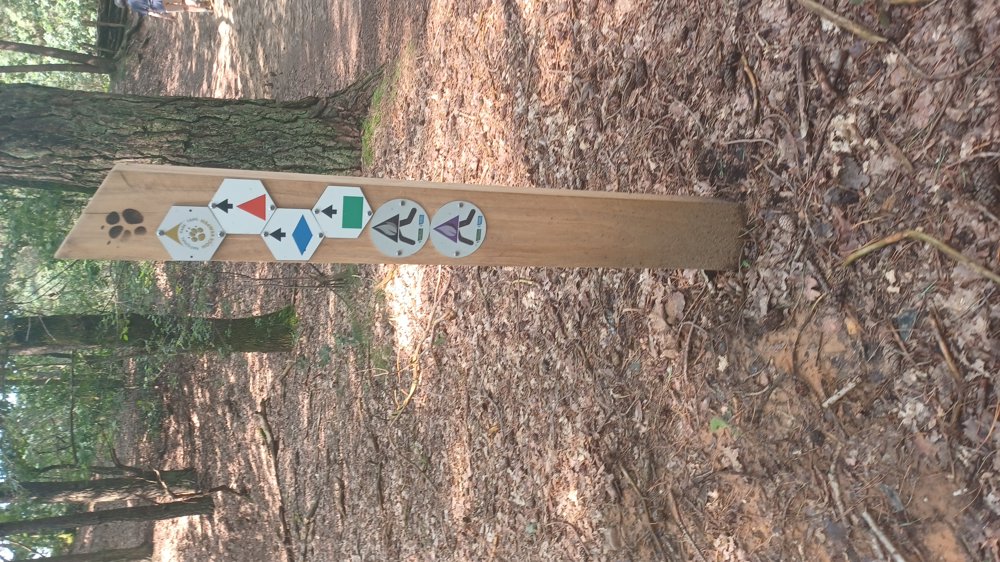
 signage
The route is not signposted. Use a GPS device or our app to follow the route through the virtual nodes.
© Jan Theunis
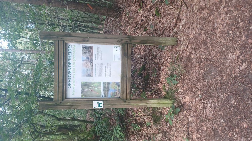
 Description
Parking: Senpowerpark Leemkuilstraat Opglabbeek.
Signage: Virtual Junctions.
Shady walk, almost always through the woods, except after 6.4 km when you walk 600 m through an open field. So ideal for a very sunny day. Even after heavy rain, the paths are easily walkable.
For the most part, you follow the blue walk.
Rest benches: including after 2.4 and 6.5 km
automatic translation
 nodes to follow
0 km

0 km
0.1 km
0.5 km
1.2 km
2.4 km
3.3 km
3.7 km
4.7 km
5.6 km
6.5 km
7.4 km
7.6 km
7.9 km

8 km


 Upgrade to Premium Plus
