 Hiking
 Login
Login More
More EN
EN Premium
Sint-Joris-Weert 12.7 km
automatic translation
12.3 km • Oud-Heverlee
6350 0 0/5

 Addresse starting point (approximate)
Dijlestraat 3, 3051 Oud-Heverlee, BE
 signage
The route is fully signposted with nodes.
 Description
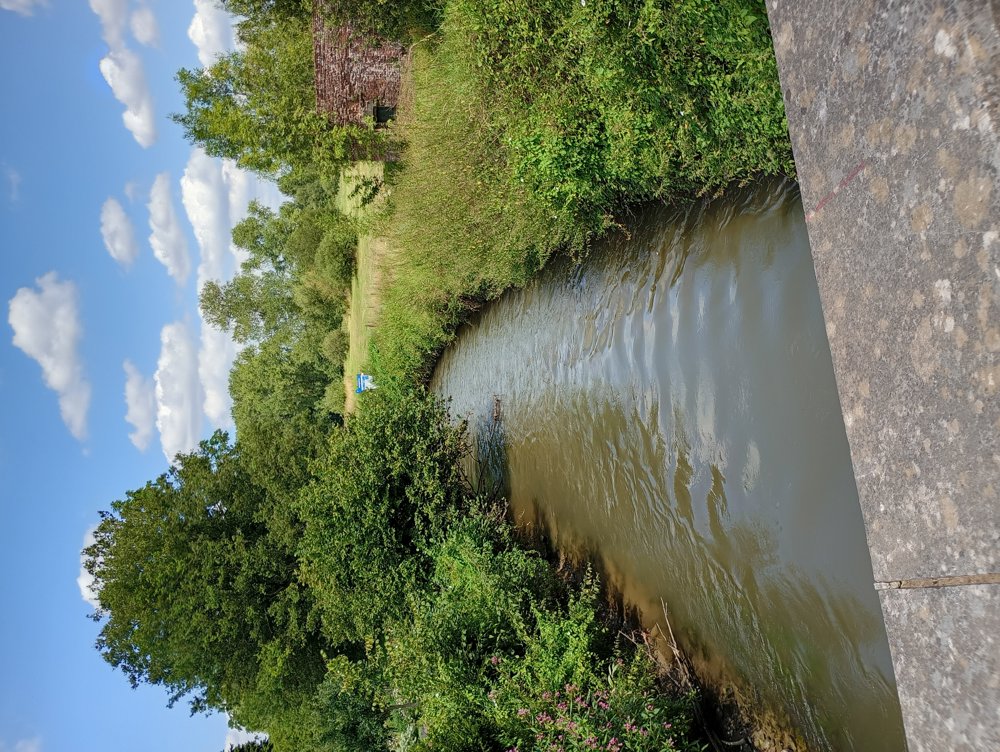
We walk into the DOODE BREMDE nature reserve.
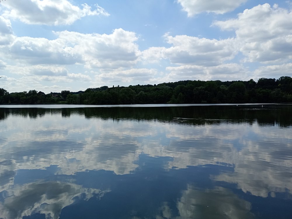
On the domain of the nature reserve, there are two bird-watching huts, one at the Langerode pond ('Neerijse Grote Bron') and one at the Kliniekvijvers ('De Roerdomp').
We walk to the castle of Neerijse. The castle also includes a chapel, the Chapel of Our Lady ten Pui. Near the castle, there is also a water mill. Currently, this castle is operated as a B&B and restaurant.
Along the Dijle and the Langerode pond, we continue to the sports café De Shelter, where a sanitary stop is possible.
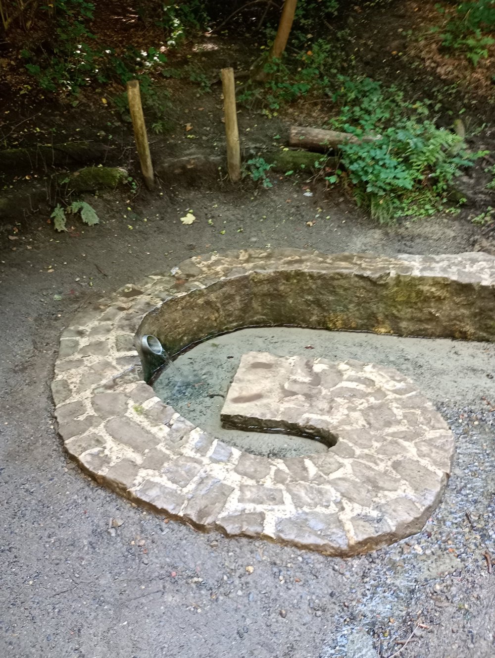
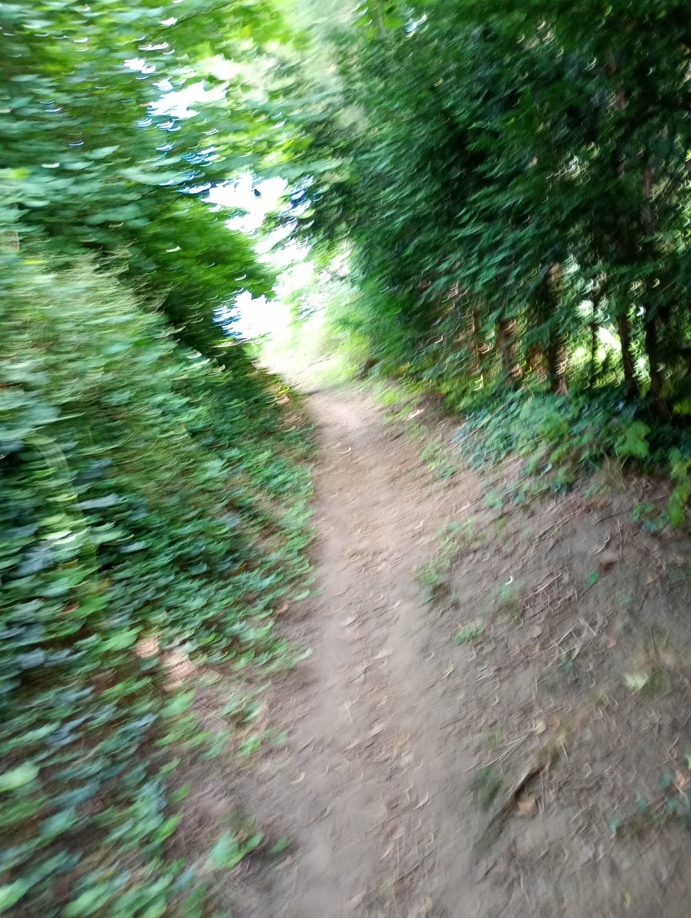
Then back through the Kouterbos to the Minnebron. At the Minnebron, people have been drinking and tapping water that comes from the ground since time immemorial. Many people who come here take the water home in bottles. The origin of the name of the spring is unknown. According to tradition, whoever drinks from the spring will marry within a year.
automatic translation
 nodes to follow
0 km
0.5 km
1.9 km
2.1 km
2.5 km
3.6 km
4.6 km
5.3 km
5.3 km
6.2 km
6.9 km
7.5 km
7.9 km
8.3 km
8.8 km
9.3 km
9.7 km
10 km
11.2 km
11.5 km
12.3 km


 Upgrade to Premium Plus
