 Hiking
 Login
Login More
More EN
EN Premium
Day Hikers Sint Joris Weert
automatic translation
21.9 km • Oud-Heverlee
1301 1 5/5

 Addresse starting point (approximate)
Stationsstraat 22, 3051 Oud-Heverlee, BE
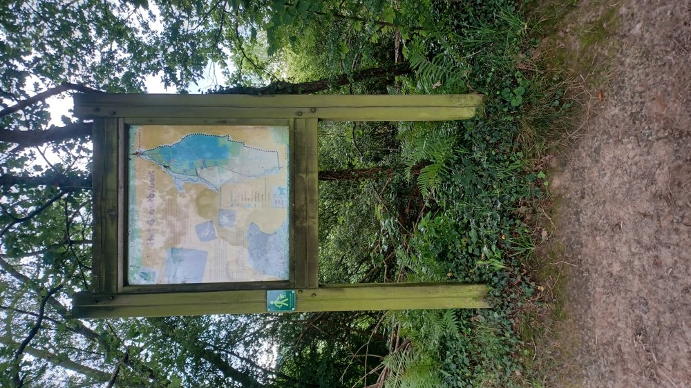
 signage
The route is not signposted. Use a GPS device or our app to follow the route.
 Description
Parking: NMBS, Stationsstraat Sint-Joris-Weert
Signage: None.
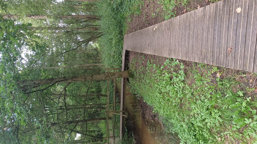
This is not a flat walk. The section in Wallonia is sometimes quite steep. The last 8 km you walk through the Meerdaal Forest; this is also up and down. Our counter read 21 km; the app indicates 22 km.
This walk is part of 'Dagstappers' and goes over well-passable roads and paths. Only the section to the left on the Leuvensebaan towards 'Grootbroek' is overgrown. Just walk further along the Leuvensebaan to the first small path on the left (parking) and then follow the route.
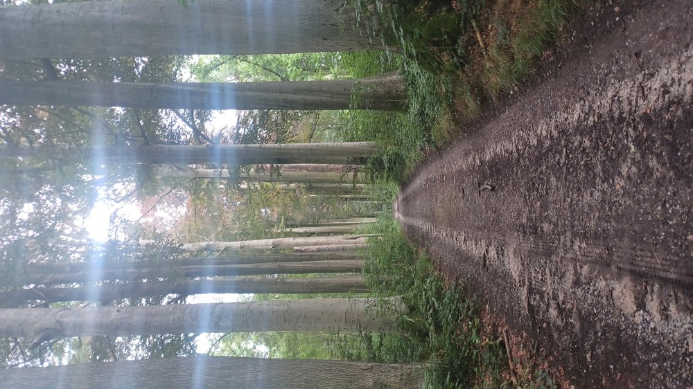
Highlight: The majestic beech avenues in the Meerdaal Forest.
Resting benches: among others at 3.5 / 11.3 / 12.2 / 13.9 / 15.8 and 17.1 km.
automatic translation
 nodes to follow
0 km
0.4 km
2 km
2.6 km
3.3 km

4.1 km
4.9 km
5.9 km
6.8 km
7.7 km
9.3 km
10 km
10.5 km
11.1 km
11.3 km
11.5 km
11.7 km
11.8 km
12.2 km
12.6 km
13 km
13.3 km
13.8 km
13.8 km
14.7 km
15.4 km
15.9 km
16.2 km
16.3 km
16.4 km
16.7 km
17 km
17.5 km
17.7 km
18.3 km
18.8 km
19.8 km
20 km
20.4 km
20.9 km
21.2 km
21.5 km
21.7 km
21.9 km
Monday, July 29, 2024 by K.D.Very nice route. In the beginning some asphalt along quite busy roads. But once past that really worth it. Thanks.
automatic translation
Monday, July 29, 2024 by Jan TheunisThat you have to go a bit longer along the Leuvensebaan is of course because the path to "grootbroek" is overgrown. But otherwise it is indeed a beautiful hike.
automatic translation


 Upgrade to Premium Plus
