 Hiking
 Login
Login More
More EN
EN Premium
Hiking in North Limburg
automatic translation
19.2 km • Bree
2430 0 0/5

 Addresse starting point (approximate)
Baron De Taxislaan 4, 3960 Bree, BE
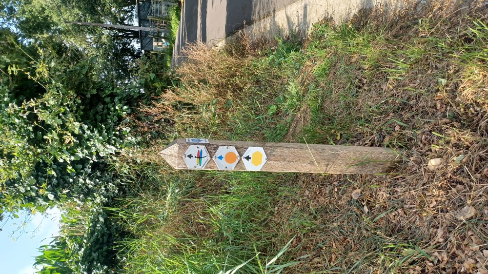
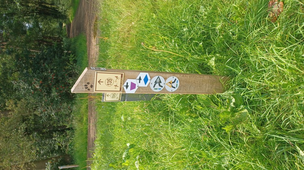
 signage
The route is partially signposted with thematic signs (no nodes). Use a GPS device or our app to follow the route.
 Description
Parking: Bree bus station/schools complex; Baron de Taxislaan.
Signage: Walking in Limburg: Combination of "Valley of the Itterbeek" (yellow hexagon) and "Opitter Village" (purple trapezium). The section in the Itterbeek valley was very muddy.
Use a GPS or the walking app because the connection between the 2 loops is not indicated.
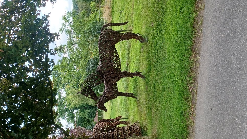
Eye-catcher: Artwork the horses made of horseshoes, fine piece of welding work.
Resting benches: among others after 4.4 / Pollismolen / 7.8 / 8.9 / 9.5 / 13.6 km
automatic translation


 Upgrade to Premium Plus
