Loading...

From Demerstrand along the fishing pond and Dauteweijers

automatic translation

7.5 km • Diepenbeek

1260 0 0/5

7.5 km 0.0 km 0.0 km

route offered by

Jan Theunis

Icon starting point Addresse starting point (approximate)

Stationsstraat 36A, 3590 Diepenbeek, BE

Icon type signage of route signage

The route is not signposted. Use a GPS device or our app to follow the route through the virtual nodes.

5m 5m 5m 5m
Atmosphere image 1 of route From Demerstrand along the fishing pond and Dauteweijers
© Jan Theunis

Icon description route Description

Parking: Sporthal Diepenbeek, Stationsstraat 27.

Signage: GPS/hiking app.

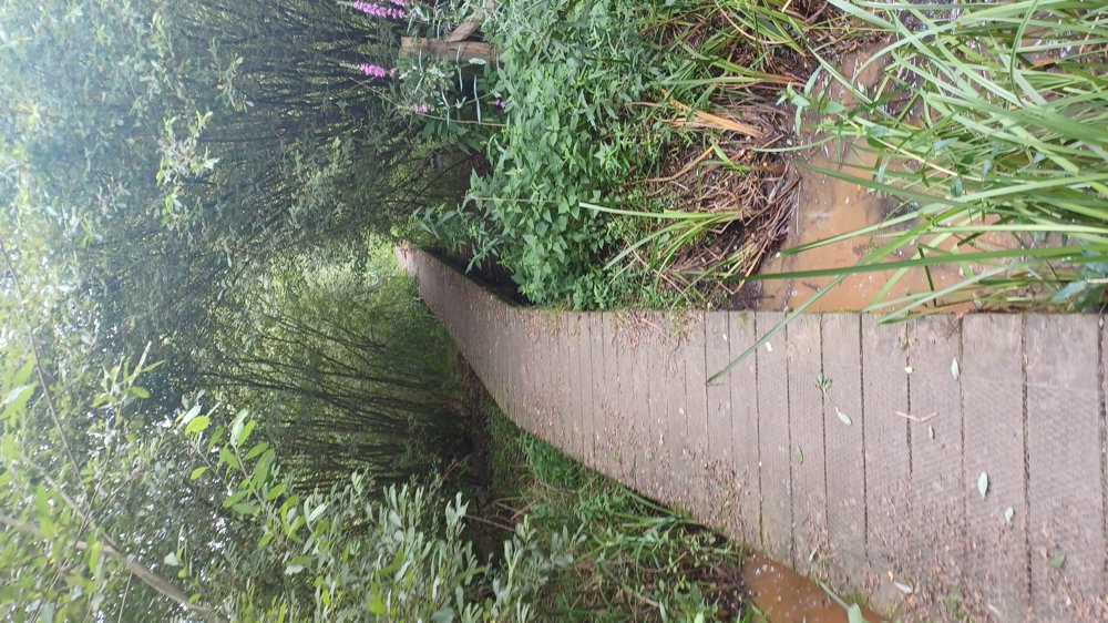
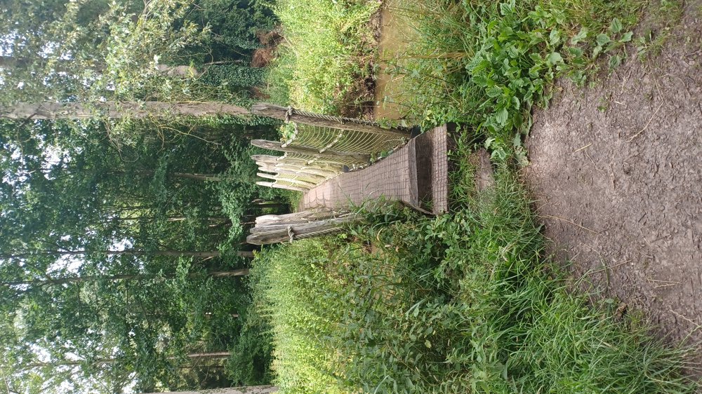
Alternating well-accessible forest paths and paved roads.

Eye-catcher: Wooden bridge over the Demer

Rest benches: among others at 1.2 / 2.7 / 3.9 and 6.3 km

automatic translation

Icon nodes to follow nodes to follow

Icon start route
0 km
Icon deviation route
0.1 km
Image node 9
0.2 km
Image node 11
0.3 km
Image node 12
0.9 km
Image node 13
1.2 km
Image node 16
2.8 km
Image node 17
3.9 km
Icon deviation route
4.7 km
Icon deviation route
4.9 km
Icon deviation route
5.6 km
Icon deviation route
5.9 km
Icon deviation route
6.2 km
Icon deviation route
6.5 km
Icon deviation route
7 km
Icon deviation route
7.3 km
Icon stop route
7.5 km
This route does not have any reviews yet. Be the first!
Rate route!

Which POI do you want to show on the map?

Experimental hiking network
Unsigned icon

The route you have chosen runs (partly) along an experimental virtual hiking node network (the blue-coloured nodes and sections on the map).

You must be logged in to plan routes here.

Experimental hiking network
Unsigned icon

The route you have chosen runs (partly) along an experimental virtual hiking node network (the blue-coloured nodes and sections on the map).

These routes are not controlled in the field. Before you start hiking here, take a minute to read what an experimental hiking node network is and what rules you should follow when hiking here.