Loading...

Through the fields in Kortrijk-Dutsel

automatic translation

8.3 km • Holsbeek

5471 1 4/5

8.3 km 0.0 km 0.0 km
10 km
© OpenStreetMap contributors, Tracestrack

route offered by

Jan Theunis

Icon starting point Addresse starting point (approximate)

Dreef 2, 3220 Holsbeek, BE

Icon type signage of route signage

The route is fully signposted with nodes.

67.7 m 61 m 73 m 26.7 m These values indicate respectively the number of meters to rise, the highest and the lowest point in meters.
Atmosphere image 1 of route Through the fields in Kortrijk-Dutsel Atmosphere image 2 of route Through the fields in Kortrijk-Dutsel
© Jan Theunis

Icon description route Description

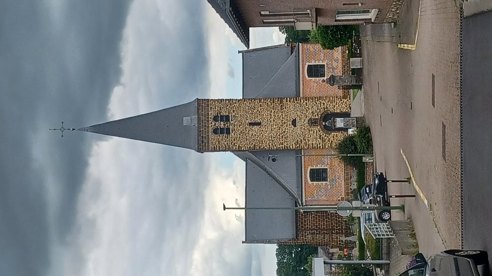
Parking: At the parking lot by the church in Kortrijk-Dutsel.

Signposting: Junction points.

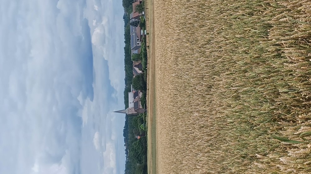
Lovely, quiet walk mostly along field paths.

Paths are easily passable, only the path behind Jos Theys' farm, between 119 and 121, needs to be mowed; the grass is half a meter high. (1/7/2024)

Start from the parking lot towards junction 123.

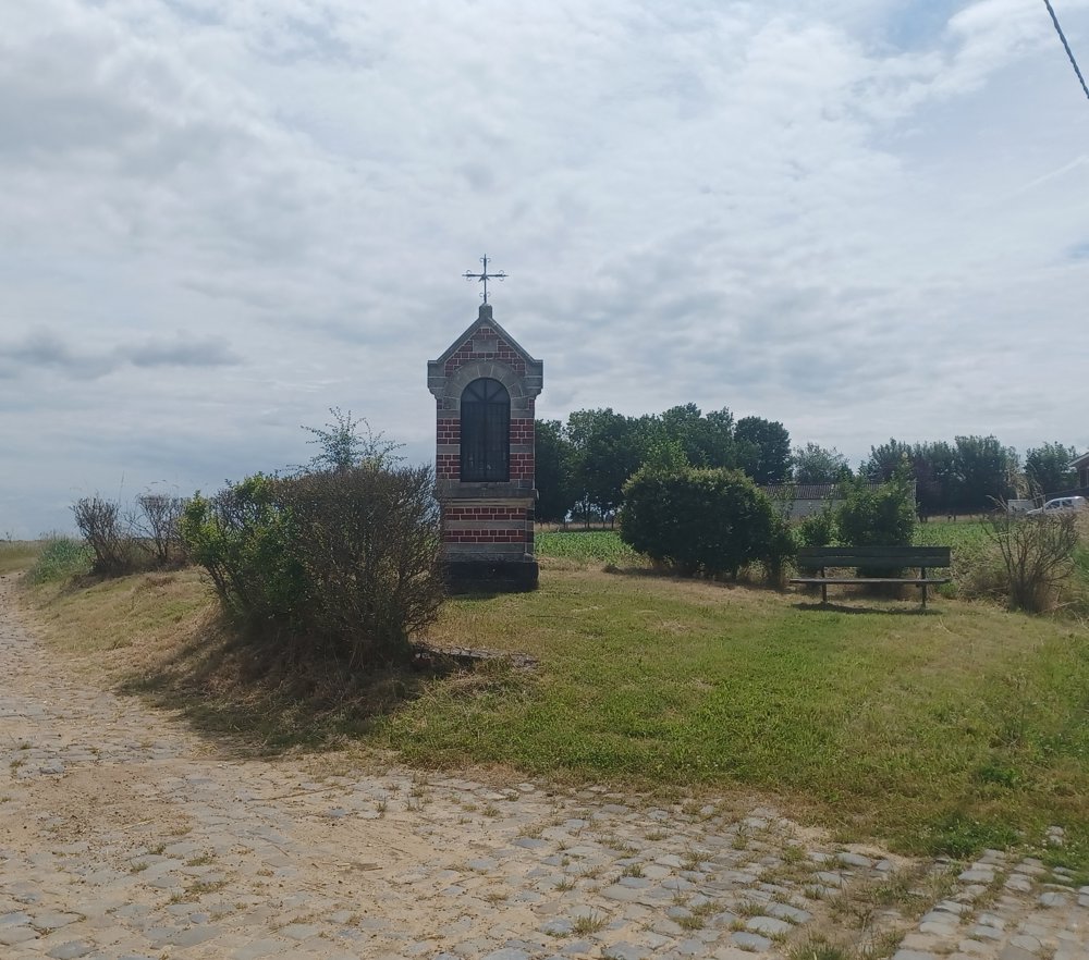
Rest benches: e.g., after 1.6 km / 2.1 km St. Wivina Chapel / 7.1 km O.L.V. Chapel.

automatic translation

Icon nodes to follow nodes to follow

Icon start route
0 km
Icon deviation route
0 km
Image node 123
0.3 km
Image node 125
0.6 km
Image node 134
1.2 km
Image node 133
1.7 km
Image node 142
2 km
Image node 168
3.1 km
Image node 167
4 km
Image node 135
5 km
Image node 118
5.7 km
Image node 119
6 km
Image node 121
7.2 km
Image node 122
7.6 km
Icon deviation route
8 km
Icon deviation route
8.1 km
Icon stop route
8.3 km
This route has 1 review(s).
Rate route!

Sunday, March 23, 2025 by C.B.An easy, pleasant walk. The route winds through fields, allowing you to enjoy the spring sunshine. Some paths are shared with bicycles (not many). There are no particular points of interest (castles, etc.), but vast panoramic views over the countryside. You'll come across horses, chickens, turkeys, geese, donkeys and sheep.
automatic translation

Which POI do you want to show on the map?

Experimental hiking network
Unsigned icon

The route you have chosen runs (partly) along an experimental virtual hiking node network (the blue-coloured nodes and sections on the map).

You must be logged in to plan routes here.

Experimental hiking network
Unsigned icon

The route you have chosen runs (partly) along an experimental virtual hiking node network (the blue-coloured nodes and sections on the map).

These routes are not controlled in the field. Before you start hiking here, take a minute to read what an experimental hiking node network is and what rules you should follow when hiking here.

By clicking 'Accept all cookies,' you agree to the use of cookies for an enhanced user experience, website traffic analysis, and personalized advertisements. Cookie policy