 Hiking
 Login
Login More
More EN
EN Premium
On the peaks of three spoil heaps
automatic translation
10 km • Maasmechelen
 official route
1.59113 0 0/5

 Addresse starting point (approximate)
Zetellaan 54, 3630 Maasmechelen, BE
 signage
The route is not signposted. Use a GPS device or our app to follow the route through the virtual nodes.
 Description
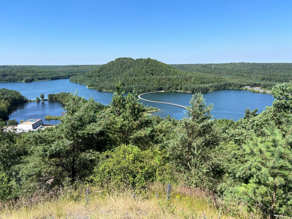
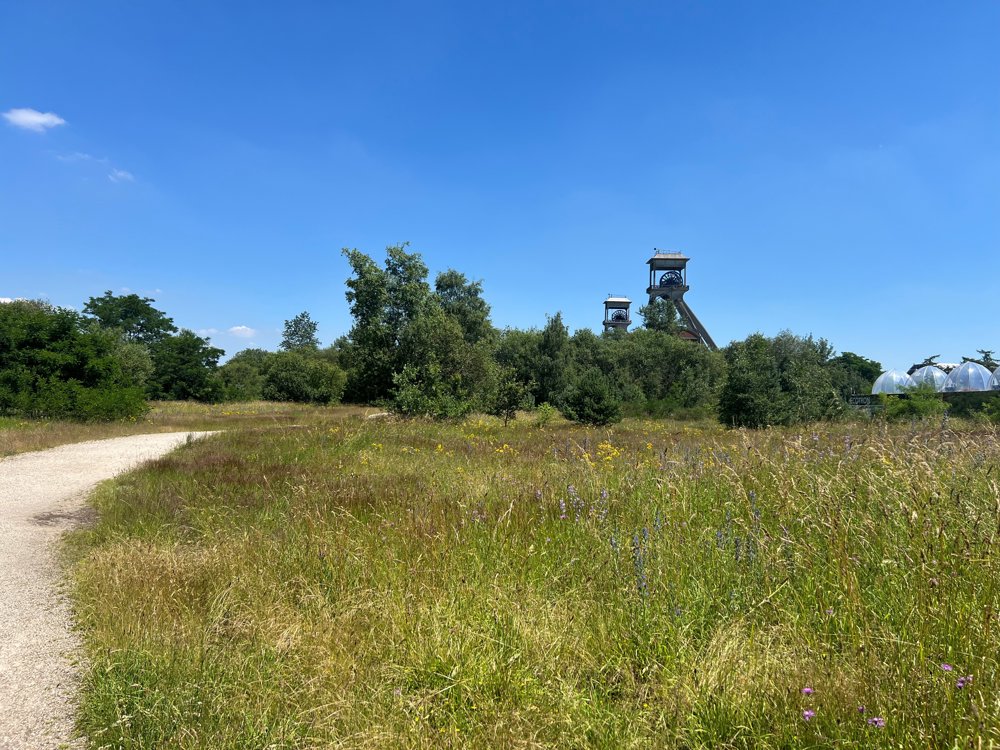
This top hike starts at the 'National Park Visitor Center' in Maasmechelen, where you will find ample parking. The two pit headframes of the former Eisden mine are an unmissable highlight at the start of this hike.
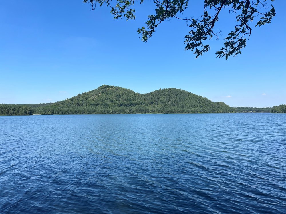
You walk to the tops of three mine spoil heaps which symbolize Limburg's glorious mining past. It must be said: if you are not used to climbing steep slopes as a hiker, it is very challenging. You overcome a height difference of 100 meters twice and then a third time of 40 meters. And the slopes are steep. But: it is absolutely worth the effort. The panoramas you find at the top are unforgettable. If you do this hike on a clear day and temperatures above 25 degrees, you get 'Mediterranean vibes'.
At the visitor center, you can treat yourself to a drink or ice cream. You can follow this hiking route by following the signs with purple print. Thanks to wandeleninlimburg.be.
automatic translation
 nodes to follow
0 km
0.1 km
0.2 km
0.8 km
0.9 km
1 km
1.5 km
2 km
2.4 km
3.7 km
3.7 km
4 km
5.6 km
6.2 km
6.4 km
6.6 km
7.8 km
8.7 km
9.3 km
9.9 km
10 km


 Upgrade to Premium Plus
