 Hiking
 Login
Login More
More EN
EN Premium
Discover the green and unpaved Kessel-Lo
automatic translation
13.4 km • Leuven
1.0682 2 5/5

 Addresse starting point (approximate)
Katjeswilgenlaan 10, 3010 Leuven, BE
 signage
The route is fully signposted with nodes.
 Description
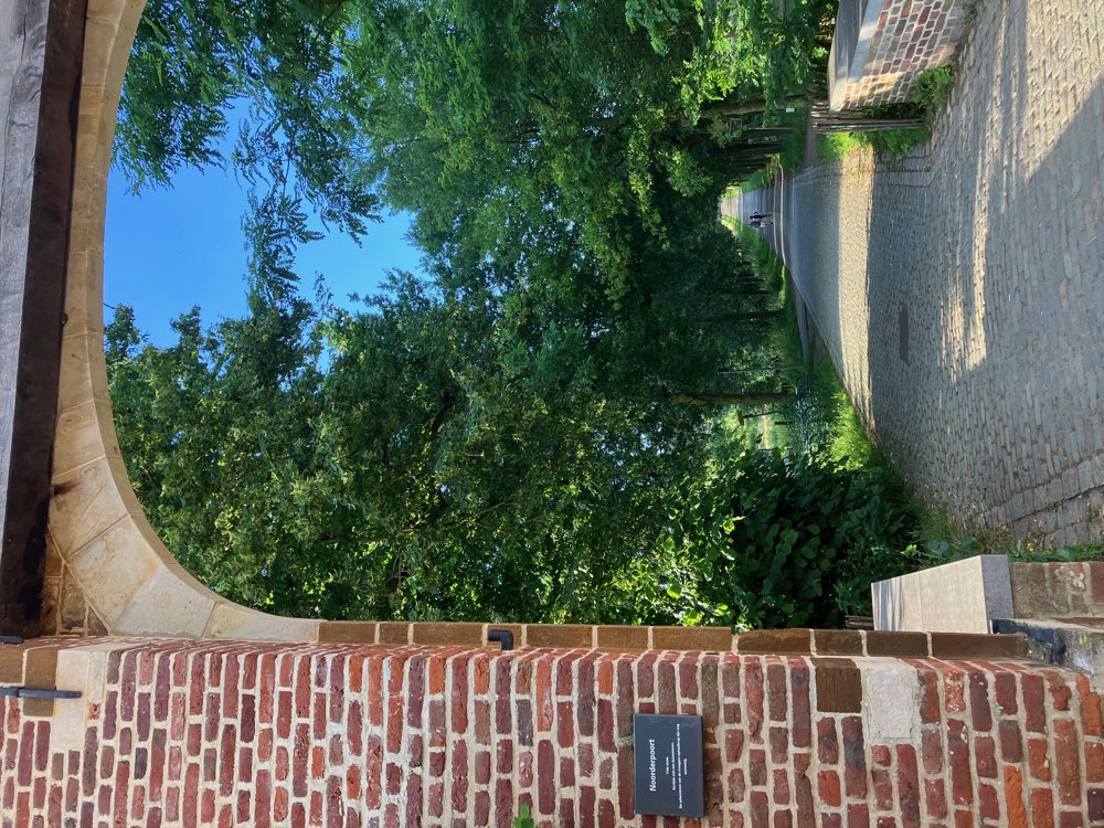
Park at the youth football center Domeinstraat 61 (free) or at P1 of the Provincial Domain (paid). Or come by train and walk out the back of Leuven station to find yourself at your starting point in no time. You will be amazed at how green it is and how many unpaved paths there are around Kessel-Lo.
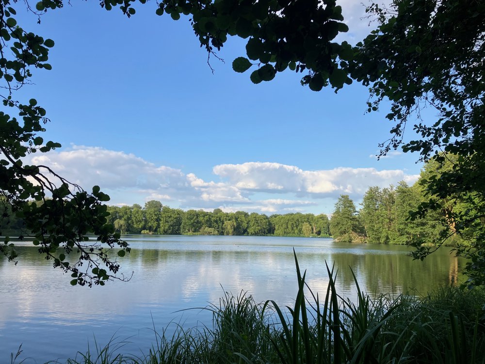
You navigate the gravel paths along the ponds of the domain and seek out the 900-year-old abbey of Vlierbeek. Via low-traffic roads and the rolling landscape of the Wijnberg, you enter the Chartreuzen Forest with its mighty trees and sometimes steep hollow paths.
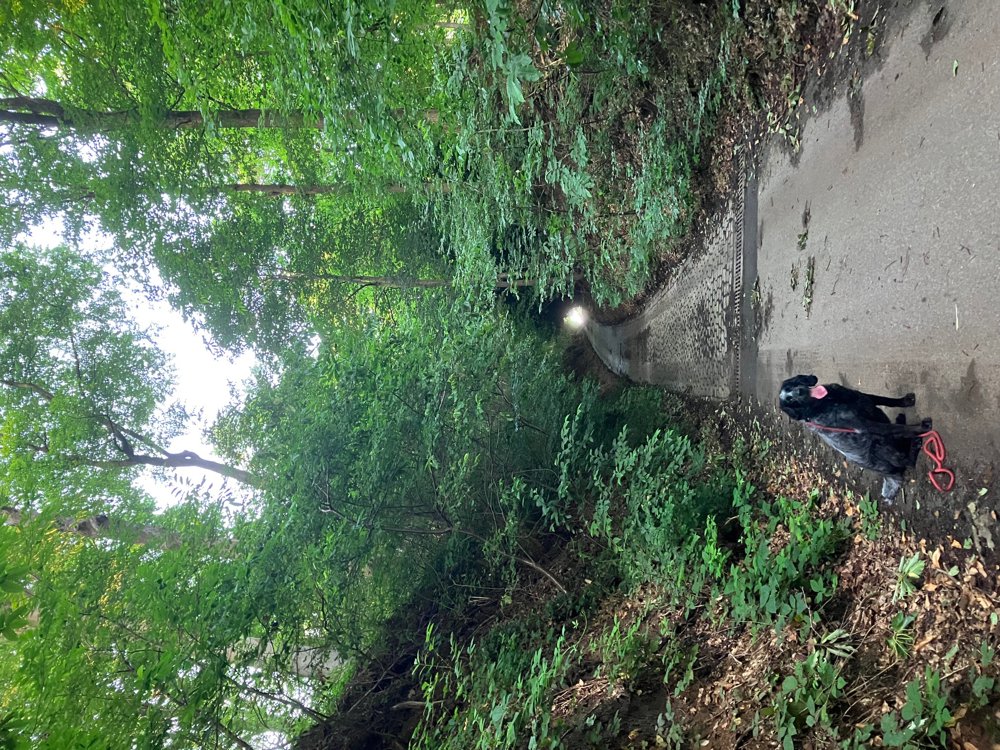
In Holsbeek village, you can grab a snack/drink before starting the spicy but beautiful part of the Sint-Gertrudisbos and Kesselberg. The old trees and unpaved (hollow) paths uphill and downhill greet you.
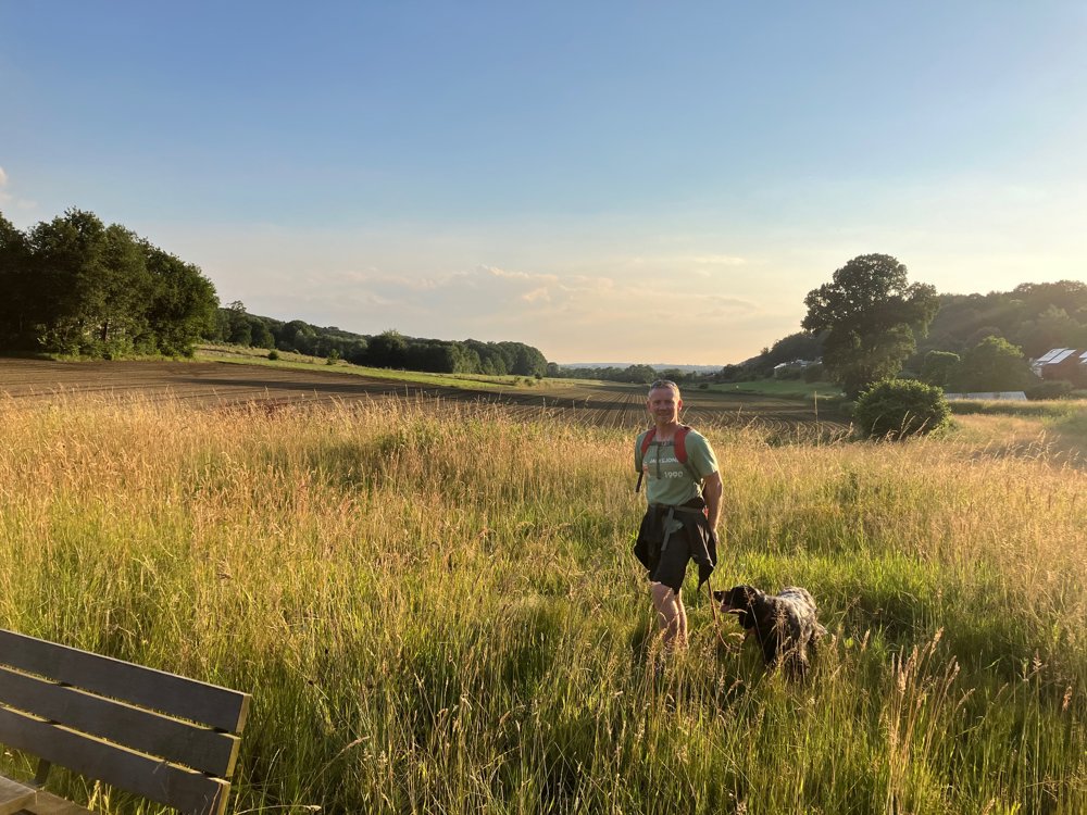
You end the route through the green Provincial Domain. High walking shoes are needed after wet weather. Dogs are welcome on a leash. Enjoy the views from the various benches.
automatic translation
 nodes to follow
0 km
1.4 km
1.8 km
2.6 km
4.8 km
5.1 km
5.4 km
7.2 km
7.2 km
7.4 km
7.9 km
8.7 km
8.8 km
9.3 km
10 km
11.3 km
11.3 km
11.8 km
12.1 km
12.5 km
13.4 km
Friday, November 15, 2024 by E.D.Very nice walk. The stretch between junction 47 and 19 is rather boring but the go-getters will be rewarded with the beautiful forest stage that follows almost to point 11. On 15/11/2024 junction 400 was only accessible via a detour (well signposted).
automatic translation
Monday, July 15, 2024 by Reinhilde DevilléDear Wilfried, we enjoyed this super beautiful hike from start to finish. Everything is here so as not to be boring. The peace, the silence, the beautiful panoramas. Thanks Wilfried. Rein and Luc. 14/07/2024
automatic translation


 Upgrade to Premium Plus
