 Hiking
 Login
Login More
More EN
EN Premium
The Gravel Pit of As
automatic translation
5.5 km • As
4040 1 5/5

 Addresse starting point (approximate)
Stationsstraat 126, 3665 As, BE
 signage
The route is not signposted. Use a GPS device or our app to follow the route through the virtual nodes.
 Description
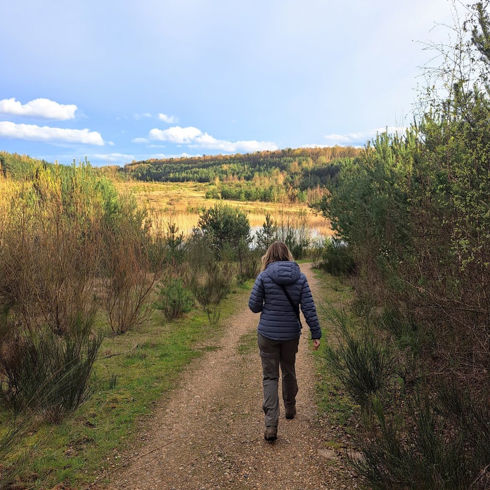
Join us on a discovery of this hidden spot!
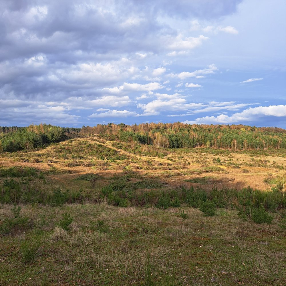
In the northern part of the Mechelse Heide, there is a gigantic pit. It was off-limits for a long time due to the gravel extraction that took place there. But now, it is freely accessible. After the works, an impressive landscape has been left behind and nature is gradually taking over again.
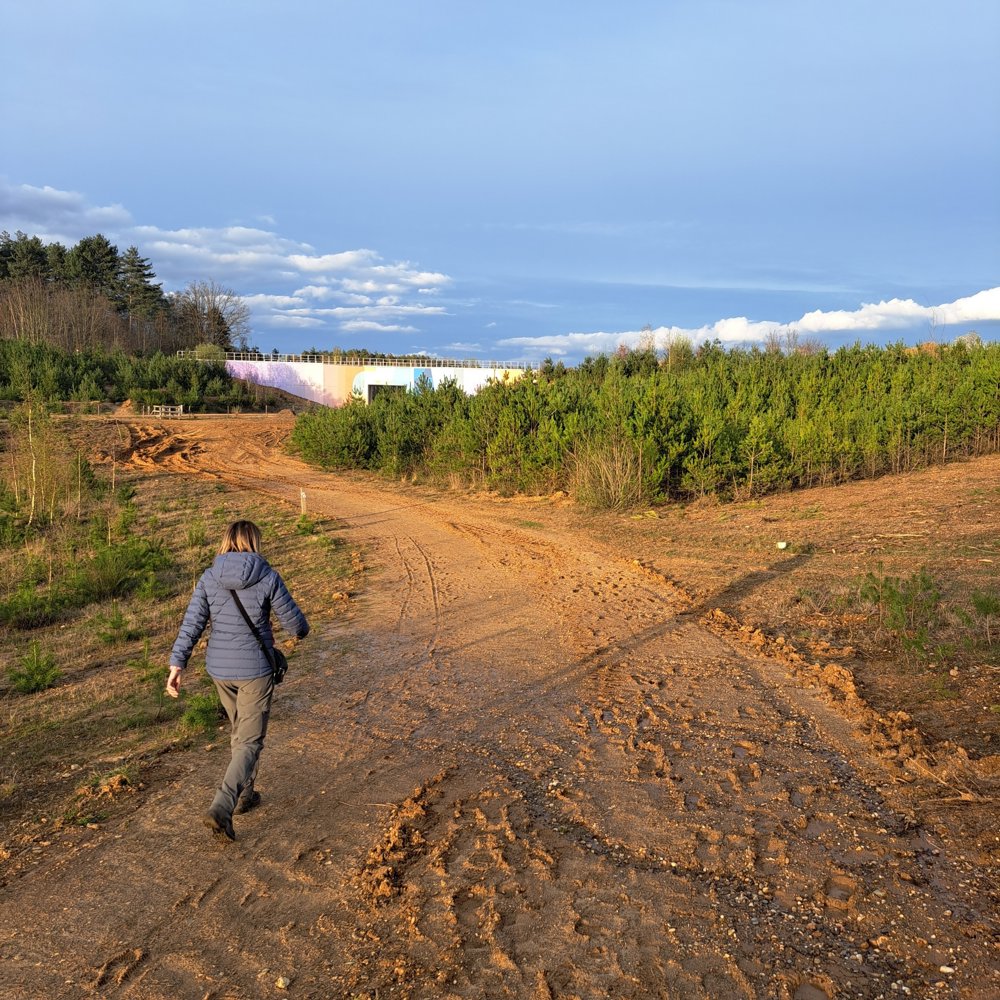
From the As station, you walk over the white winding bridge to the other side. Then you descend into this immense gravel crater. The walking path meanders through the valley, up and down, sometimes even via stairs.
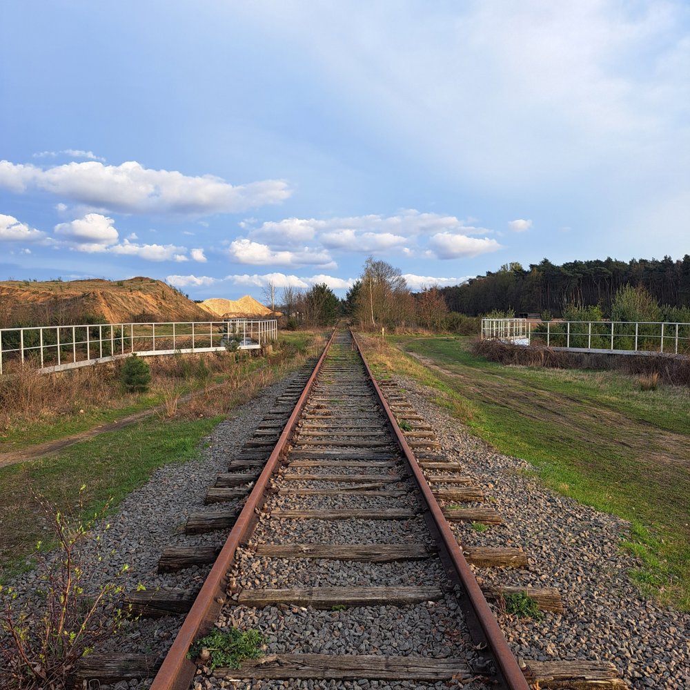
The view is truly impressive. You don't need much imagination to feel like you're in a distant land. With a bit of luck, you might spot a deer or heron here. The halted industry has left its marks; walk over deserted gravel paths and along old railways. The old concrete bridges have been transformed into graffiti artworks.
A beautiful unexplored walking area that you must see.
automatic translation
 nodes to follow
0 km
0.9 km
2.3 km
4.4 km
4.6 km
5.2 km
5.5 km
5.5 km


 Upgrade to Premium Plus
