 Hiking
 Login
Login More
More EN
EN Premium
Limestone Walk
automatic translation
7.9 km • Sint-Truiden
 official route
1.48112 0 0/5

 Addresse starting point (approximate)
Tril 10, 3800 Sint-Truiden, BE
 signage
The route is not signposted. Use a GPS device or our app to follow the route through the virtual nodes.
 Description
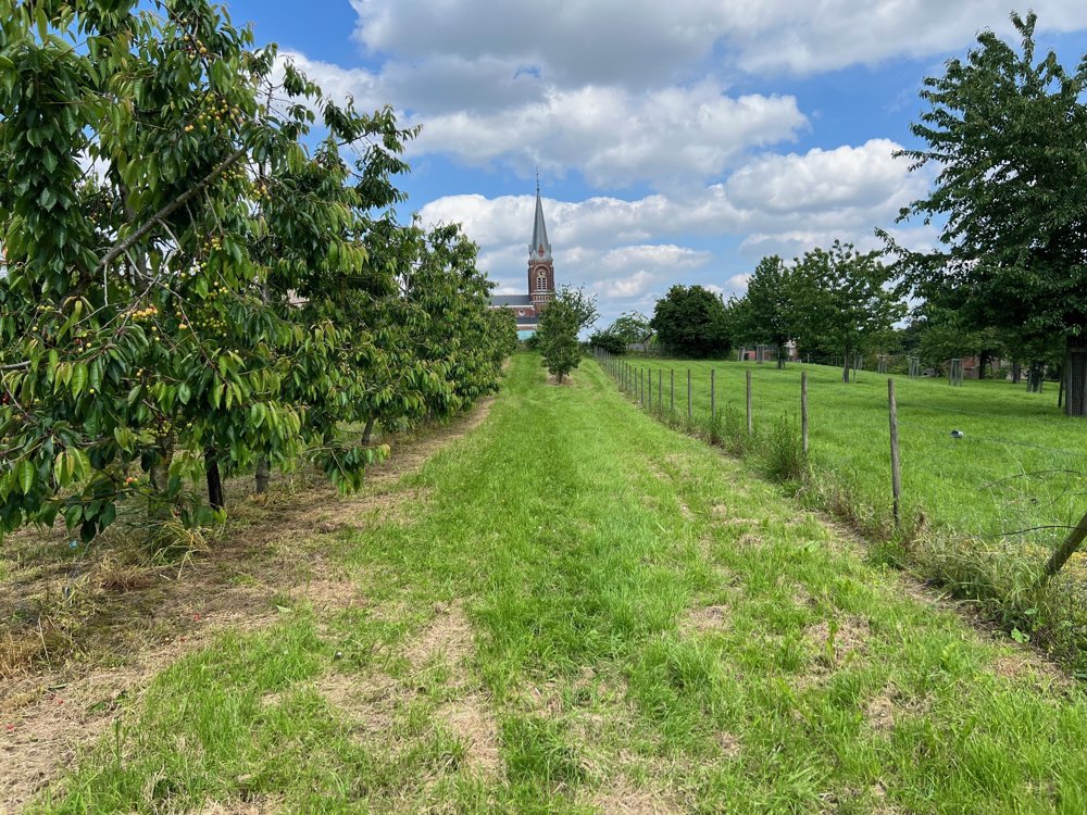
This walk explores the hilly landscape between Groot- and Klein-Gelmen in Haspengouw. At the church of Groot-Gelmen, you will find plenty of parking space.
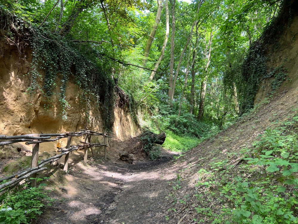
Via Bosstraat, a charming sunken road, you arrive at a limestone wall where a Merovingian burial ground from the 6th-7th century was situated. In the 1950s, no less than 60 graves were uncovered here.
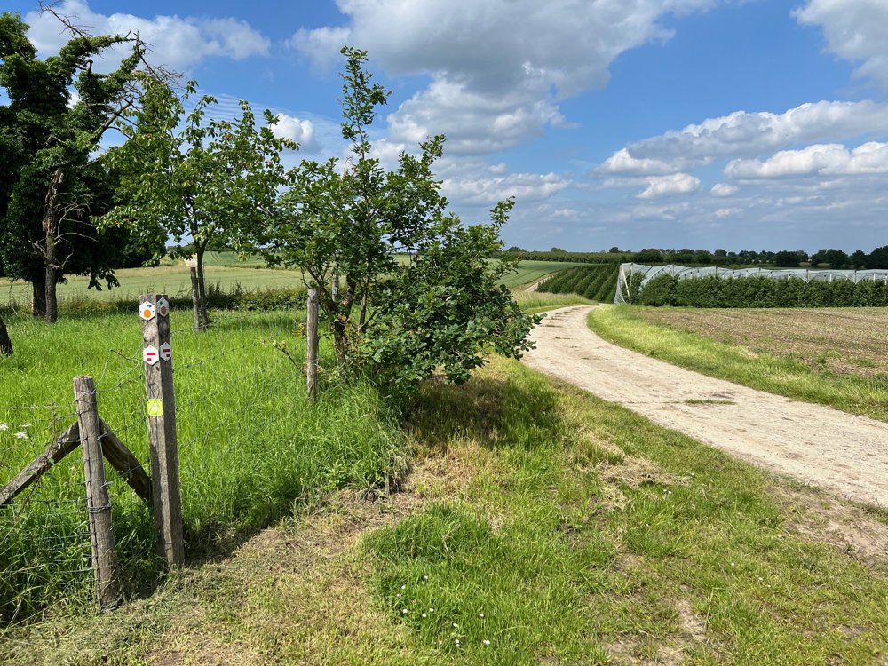
The route further meanders through the beautiful Haspengouw landscape where you are regularly treated to panoramic views. In Klein-Gelmen, you can stop at Bistro 't Catarakske. Then you explore the Hampveld nature reserve in the valley of the Herk and the Veulense Beek.
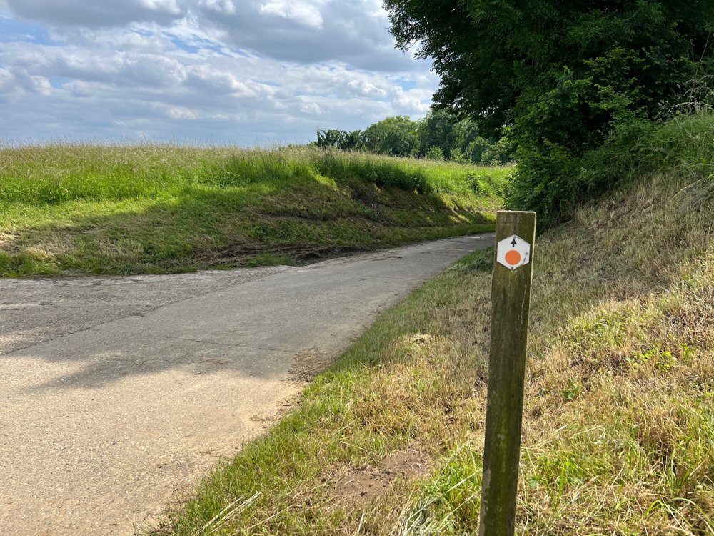
You can follow this walking route by following the signs with orange print. Thanks to wandeleninlimburg.be.
automatic translation
 nodes to follow
0 km
1.5 km
3.2 km
4.5 km
5.5 km
6.2 km
7.9 km


 Upgrade to Premium Plus
