 Hiking
 Login
Login More
More EN
EN Premium
Tour Elentrik
13.5 km • 3150 Haacht
4540 0 0/5
route offered by
Toerisme Haacht
 Addresse starting point (approximate)
Kerk Wakkerzel - Martelarenlaan 4, 3150 Haacht
 signage
The route is partially signposted with nodes. Use a GPS device or our app to follow the route through virtual nodes.
 Description
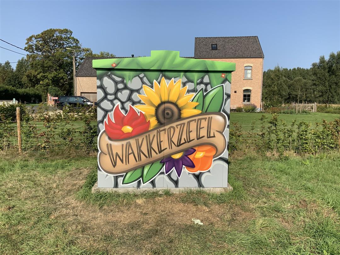
Tour Elentrik showcases local talent in the streets In mid-September 2020, cheerful drawings appeared in the streets of Haacht. Thanks to the Tour Elentrik project, various utility boxes received a fresh and artistic coat of paint. The project is a collaboration between the municipality of Haacht, Treepack, and creative local artists. More information about the artists and the locations of the utility boxes can be found in the brochure via this link.
This walk is offered to you by the Municipality of Haacht.
 nodes to follow
0 km

0.5 km
0.8 km
1 km
1.2 km
2.4 km
2.9 km
3.1 km
4.4 km
4.9 km
6.1 km
6.3 km
6.6 km
7.3 km
7.7 km
8.3 km
9.1 km
9.7 km
10.7 km
10.9 km
11.4 km
11.8 km
12 km
12.6 km
13 km
13.4 km
13.5 km


 Upgrade to Premium Plus
