 Hiking
 Login
Login More
More EN
EN Premium
Along forests, heaths and meadows from Wolfsdonk
automatic translation
14.6 km • Aarschot
1.0851 1 2.5/5

 Addresse starting point (approximate)
Wolfsdonk-Dorp 8, 3201 Aarschot, BE
 signage
The route is partially signposted with nodes. Use a GPS device or our app to follow the route.
 Description
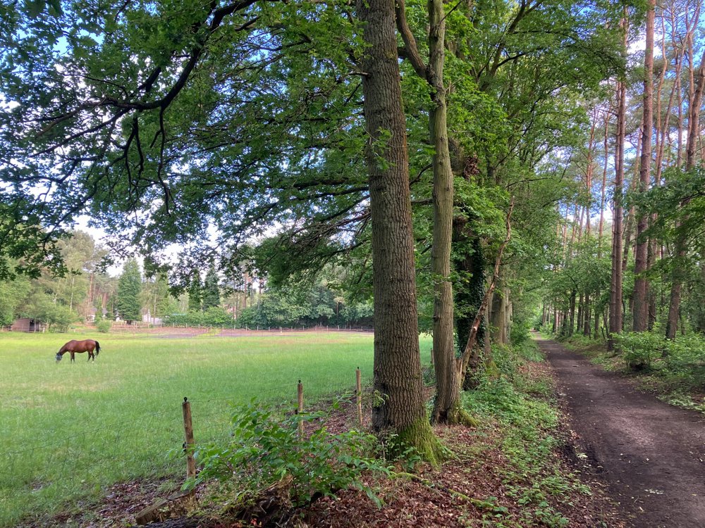
Park at the church of Wolfsdonk. You can quickly do some last-minute shopping for the road at the local bakery and butcher that have a very extensive selection.
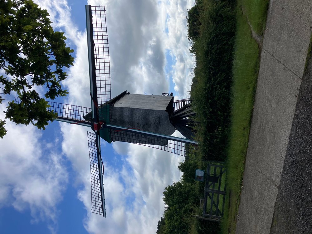
Along rural streets and forest paths, you pass a few youth campsites that are typical for this region. After a stretch of heath, you arrive at the wooden post mill that has remained intact since 1662 at Heimolenstraat on the Molenheide. Subsequently, we walk on varying terrain further to the hamlet of Varenwinkel where you can possibly satisfy your hunger/thirst at 't Varenwinkeltje or the chip shop.
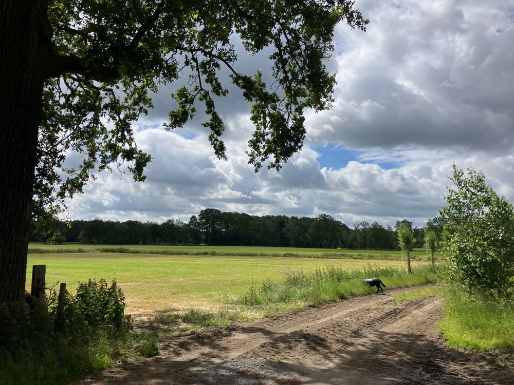
After the forest area De Schrieken, you can make a small detour from junction 216 to the Kapittelberg (wine domain) for a pleasant terrace at the unique old farm.
You descend the "mountain" and pass several old and modern farms on your way back to the starting point, where you can also find a refreshing terrace nearby.
Slightly hilly course. Dogs welcome on a leash.
automatic translation
 nodes to follow
0 km

0.1 km
0.3 km
0.5 km
0.7 km
1.2 km
1.4 km
1.6 km
1.9 km
2.3 km
4 km
4.5 km
4.8 km
5.5 km
5.6 km
6.4 km
7.3 km
8 km
8.7 km
9.1 km
9.4 km
9.6 km
9.7 km
10.5 km
10.8 km
11.2 km
12.9 km
13.1 km
14.4 km
14.6 km
Wednesday, July 10, 2024 by Emiel AlaertsThe numbers are wrong at junction 259 211 is not marked . if you don't know the road you are lost
automatic translation
Thursday, July 11, 2024 by Wilfried LambrechtsTherefore, I have indicated "PARTS" signposted via nodes. You can also see this by the dark red arrows in the overview of nodes. Using the app with the map and possible route guidance avoids lost walking. So always check the overview. Hopefully I have helped you with these tips.
automatic translation


 Upgrade to Premium Plus
