 Hiking
 Login
Login More
More EN
EN Premium
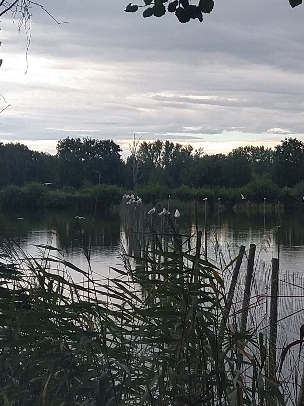
Flemish nature reserve “Platwijers”
automatic translation
7.8 km • Hasselt
5811 1 2.5/5

 Addresse starting point (approximate)
Nieuwstraat 125, 3511 Hasselt, BE
 signage
The route is not signposted. Use a GPS device or our app to follow the route.
 Description
Parking: Kuringen Heide, Parish Center Nieuwstraat 126.
Signage: Via the hiking app or GPS.
Highlights: Flemish Nature Reserve "Platwijers".
Rest and picnic benches: There are several rest benches, including after 3.2 km / 4.9 km / 5.7 km.
automatic translation
Thursday, September 5, 2024 by J.R.05.09.2024. We chose this route because, according to the plan, it passed many ponds ("Platwijers"). The beginning and end of the route was on a road with little room for pedestrians. Due to the high riparian vegetation, we were unable to see any water or waterfowl. For us, this was a setback.
automatic translation


 Upgrade to Premium Plus
