 Hiking
 Login
Login More
More EN
EN Premium
Walking from Geetbets to Hogen and Glabbeek
automatic translation
8.7 km • Geetbets
1870 1 3.5/5

 Addresse starting point (approximate)
Steenweg op Kortenaken 27, Geetbets, BE
 signage
The route is partially signposted with nodes. Use a GPS device or our app to follow the route.
 Description
Parking: Geetbets: parking Kerkhof Kolkstraat.
Signage: Junctions or via the app/GPS
Go to the 1st junction (42) via the Heerbaan.
At the last junction (43), follow junction 402 to the 'Steenweg op Kortenaken' and turn left, after 300m you will be back at your starting point.
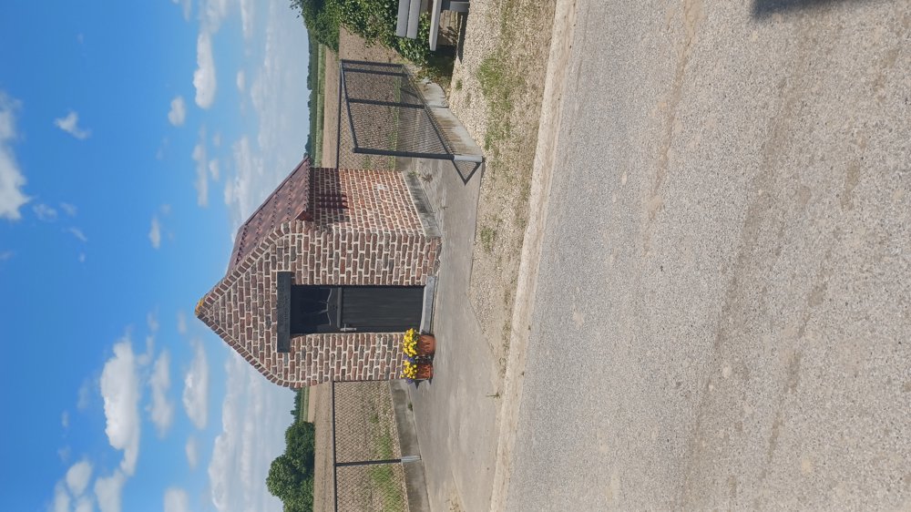
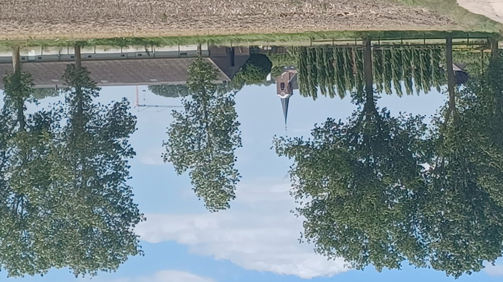
Highlights: Some chapels and the orchards.
Rest and picnic benches: There are several rest benches, for example after 500m / 2.6km / 7.9km.
automatic translation
 nodes to follow
0 km

0.1 km
0.5 km
1.3 km
2.6 km
3.4 km
4.3 km
5.2 km
6.3 km
7.2 km
8.1 km
8.5 km

8.7 km
Saturday, June 15, 2024 by B.P.Beautiful route , unfortunate that between node 429 and 43 the trail has been completely plowed over a few hundred meters by a farmer .
automatic translation
Tuesday, June 25, 2024 by Jan TheunisIndeed and that is not the only place where this happens, but if enough walkers defect this problem will solve itself.
automatic translation


 Upgrade to Premium Plus
