Loading...

BE-Mine Beringen

automatic translation

5.7 km • Beringen

1110 0 0/5

5.7 km 0.0 km 0.0 km

route offered by

Jan Theunis

Icon starting point Addresse starting point (approximate)

be-MINE 15, 3582 Beringen, BE

Icon type signage of route signage

The route is fully signposted with thematic signs (no nodes).
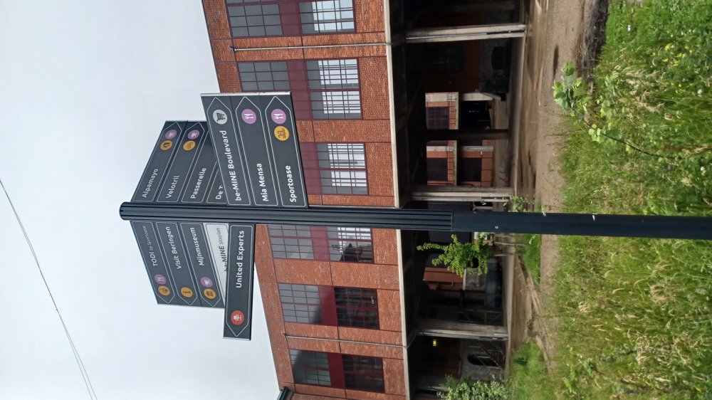
5m 5m 5m 5m
Atmosphere image 1 of route BE-Mine Beringen Atmosphere image 2 of route BE-Mine Beringen Atmosphere image 3 of route BE-Mine Beringen
© Jan Theunis

Icon description route Description

Parking: BE-Mine, in the large parking lot at the shopping center.

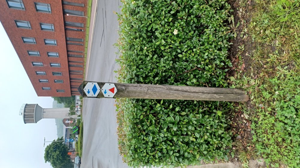
Signage: Blue diamond

Walking through the cité of Beringen Mijn.

First, walk towards the swimming pool (Oase), just past the pool you will find the first signpost.

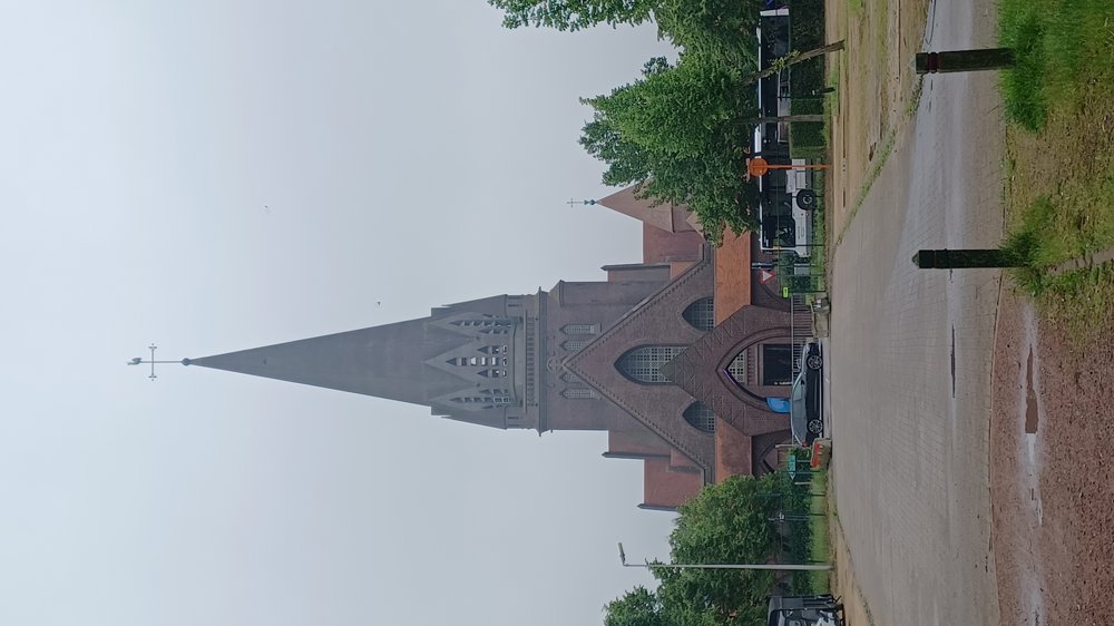
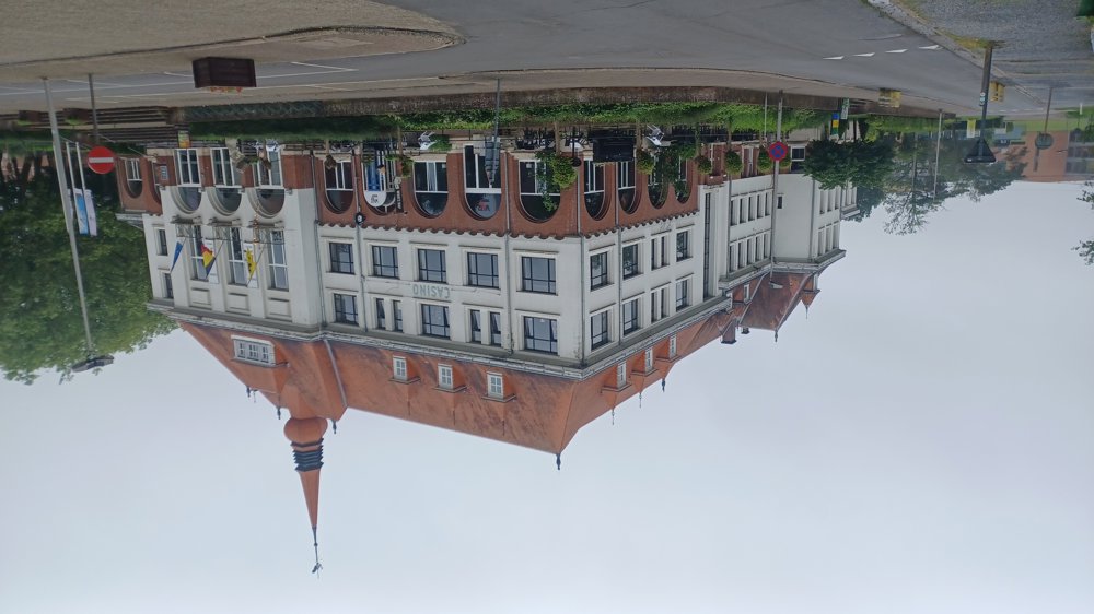
Highlights: Fatih mosque, Saint Theodardus church, Kiosk, Casino, Mine buildings.

Rest and dining benches: There are several rest benches, including after 1 km (Sporenpark retirement home) / 2.1 km (round square) / 3.1 km / 4.1 km Kiosk square.

automatic translation

Icon nodes to follow nodes to follow

Icon start route
0 km
Icon deviation route
0 km
Icon deviation route
0.2 km
Icon deviation route
0.2 km
Icon deviation route
0.3 km
Icon deviation route
0.3 km
Icon deviation route
0.4 km
Icon deviation route
0.4 km
Icon deviation route
0.7 km
Image node 102
0.8 km
Image node 104
0.8 km
Image node 108
0.9 km
Image node 109
1.1 km
Image node 110
1.6 km
Image node 101
2.7 km
Image node 100
4.7 km
Image node 102
5 km
Image node 104
5 km
Image node 105
5.1 km
Image node 106
5.2 km
Icon deviation route
5.4 km
Icon deviation route
5.5 km
Icon deviation route
5.5 km
Icon stop route
5.7 km
This route does not have any reviews yet. Be the first!
Rate route!

Which POI do you want to show on the map?

Experimental hiking network
Unsigned icon

The route you have chosen runs (partly) along an experimental virtual hiking node network (the blue-coloured nodes and sections on the map).

You must be logged in to plan routes here.

Experimental hiking network
Unsigned icon

The route you have chosen runs (partly) along an experimental virtual hiking node network (the blue-coloured nodes and sections on the map).

These routes are not controlled in the field. Before you start hiking here, take a minute to read what an experimental hiking node network is and what rules you should follow when hiking here.