 Hiking
 Login
Login More
More EN
EN Premium
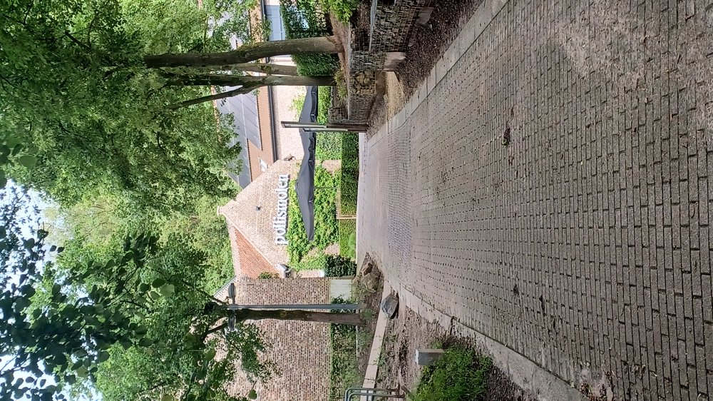
Opitter Pollismolen
automatic translation
19.6 km • Bree
9380 0 0/5

 Addresse starting point (approximate)
Molenstraat 56, 3960 Bree, BE
 signage
The route is not signposted. Use a GPS device or our app to follow the route through the virtual nodes.
 Description
Parking: Opitter P10 Pollismolen
Signage: Virtual waypoints.
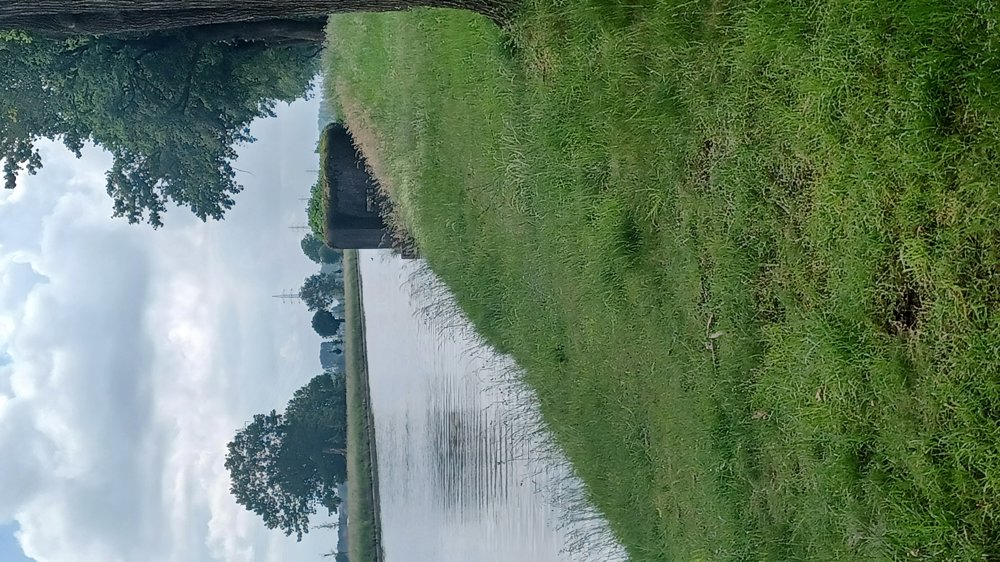
The walk consists of 2 loops: one of 11 km towards Zuid-Willemsvaart, the other 8.9 km through the forests of Solterheide.
For the walk through the forests of Solterheide, waterproof walking shoes are necessary in case of heavy rain.
You can combine the 2 loops and then the walk is 19.7 km.
Highlights: Pollismolen, bunker at the Zuid-Willemsvaart.
Rest and picnic benches:
Combined walk: 4.7 km herb garden / 10 km several benches and in the Itterdal Castle Park / 13.8 km Solt bivouac zone.
automatic translation
 nodes to follow
0 km

0.1 km
0.2 km
1.3 km
1.5 km
1.8 km
2 km
2.1 km
7.3 km
8.7 km
8.8 km
9.1 km
10.8 km
11 km
12.1 km
13.1 km
14.6 km
16.4 km
17 km
18.2 km
19.1 km
19.3 km
19.4 km

19.6 km


 Upgrade to Premium Plus
