 Hiking
 Login
Login More
More EN
EN Premium
From Ternat to Wambeek
automatic translation
11.2 km • Ternat
2091 0 0/5
11.2 km
0.0 km
0.0 km

 Addresse starting point (approximate)
Statiestraat 43, 1740 Ternat, BE
 signage
The route is not signposted. Use a GPS device or our app to follow the route.
© Sarah wandel.hike.belgië
 Description
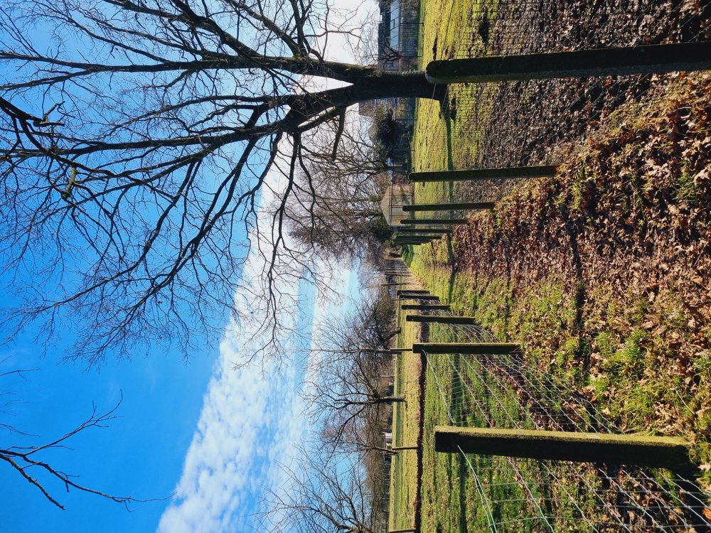
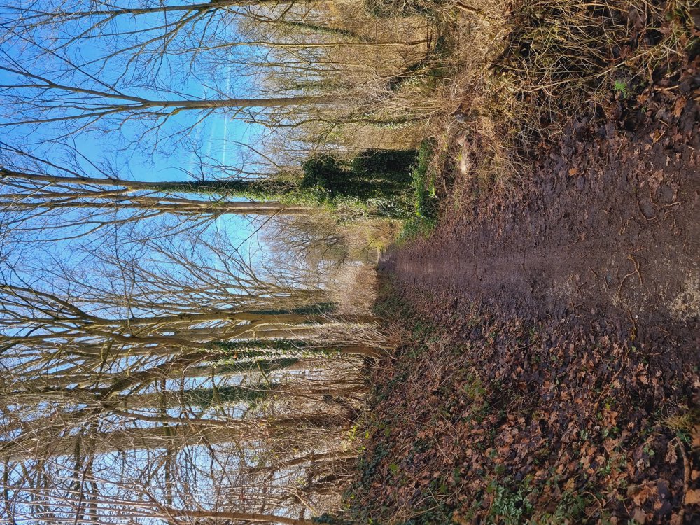
Lots of variety on this route with highlights:
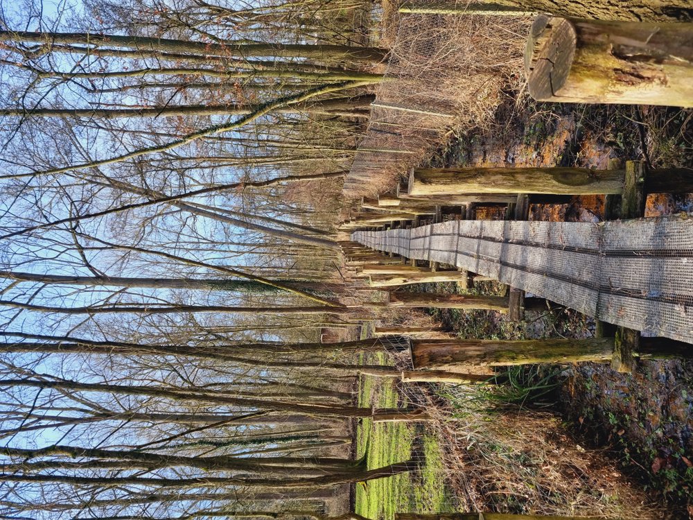
🌿 Kouterbroeken Nature Reserve
🌿 Alfendael with a sea of boardwalks
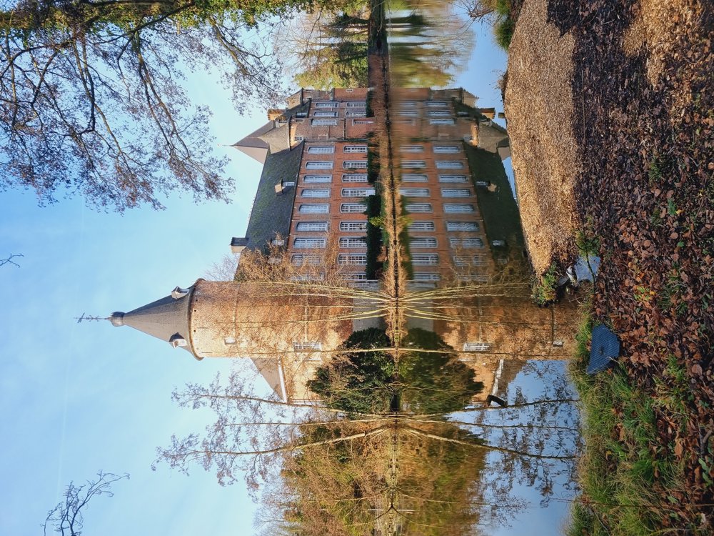
🏰 Kruikenburg Castle with its beautiful park
🪧 Not signposted, GPX
📏 11.3 km (41% unpaved)
👩🏫 My rating: 7.5/10
(Just a bit too much paved for me, but little mud in return)
🐾 Dogs welcome, on a leash
👶🏻 Not buggy-proof
🧃 Picnic park Kruikenburg
🅿️ & Starting point:
Sterrelaan near No. 24, Ternat (Flemish Brabant)
🚂 Can be perfectly started from the station.
Enjoy your walk 👣🙋♀️
Best regards
Sarah
automatic translation


 Upgrade to Premium Plus
