 Hiking
 Login
Login More
More EN
EN Premium
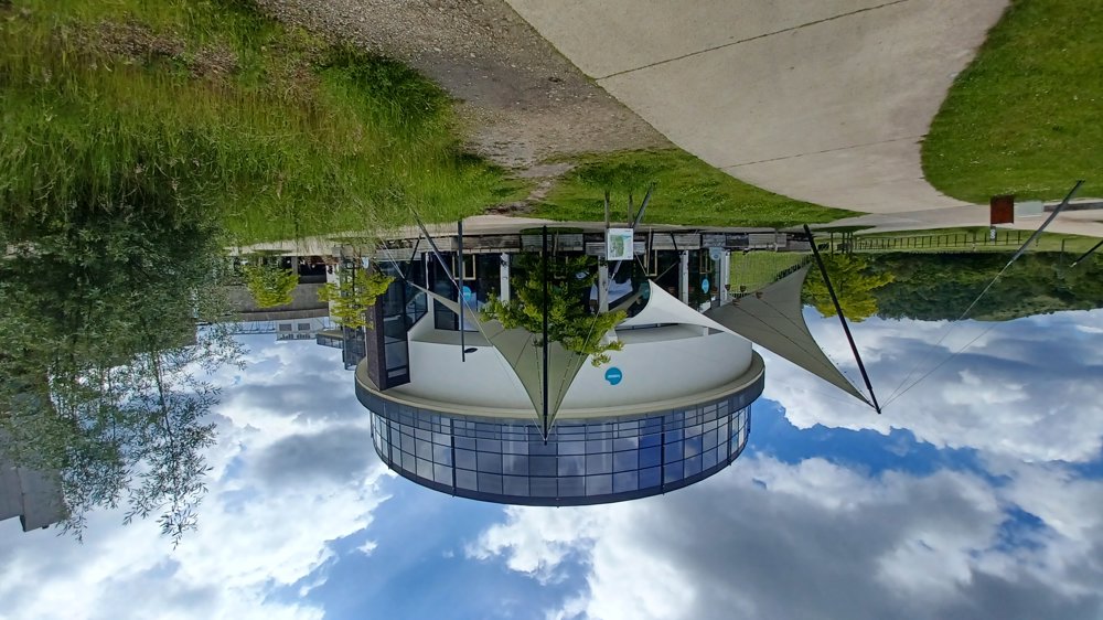
BE-Mine Beringen
automatic translation
6.8 km • Beringen
5651 0 0/5

 Addresse starting point (approximate)
be-MINE 3, 3582 Beringen, BE
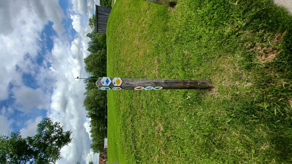
 signage
The route is fully signposted with thematic signs (no nodes).
 Description
Parking: BE-Mine Beringen.
Either park in the large parking lot at the shopping center or at the TODI diving center parking lot, follow the TODI signs.
Signage: First walk to the diving center and follow the yellow hexagon or the virtual junctions on the app.
This walk is wheelchair accessible, only the 200-meter stretch through "the director's park" is not paved.
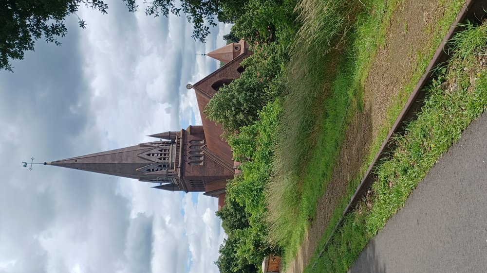
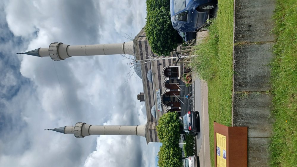
Highlights: Avonturenberg, TODI diving center (you can use the external spiral staircase to look inside at the fish and divers), Fatih mosque, Saint-Theodard church, mine buildings, mine museum.
Rest and dining benches: In the park after 800m and at 4.3 / 5.7 / 6.3 km + on the BE-Mine site.
(distances from the beginning of the signage)
automatic translation
 nodes to follow
0 km

0.2 km
0.3 km
0.3 km
0.4 km
0.7 km
3.6 km
6 km
6.4 km
6.6 km

6.8 km


 Upgrade to Premium Plus
