 Hiking
 Login
Login More
More EN
EN Premium
Village walk Nerem
automatic translation
4.6 km • Tongeren
4900 1 3.5/5

 Addresse starting point (approximate)
Koninginnestraat 5, 3700 Tongeren, BE
 signage
The route is not signposted. Use a GPS device or our app to follow the route.
 Description
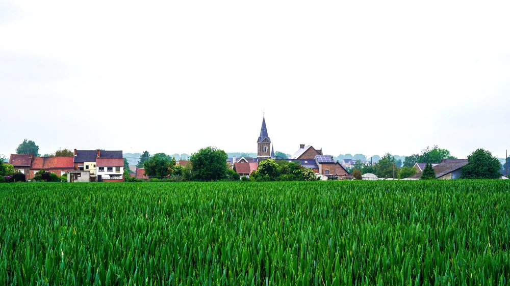
The small village of Nerem near Tongeren is worth exploring.
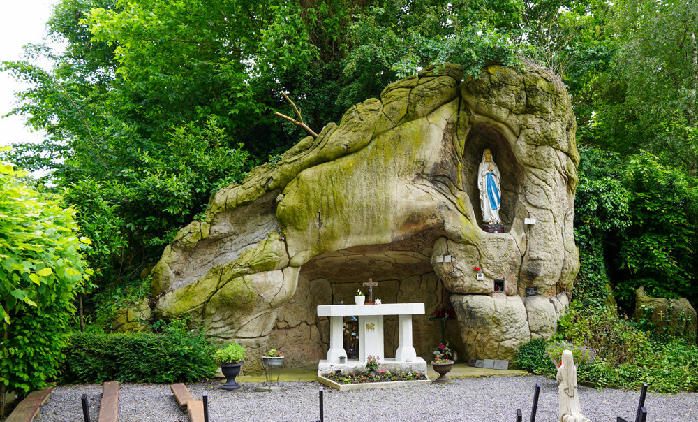
We start from the village square for a varied walk. First, we follow a portion of the Jeker. It leads us to wide fields with beautiful views. We pass a Lourdes grotto dating from 1946. Then, we cross the railway, which is also the highest point of the area.
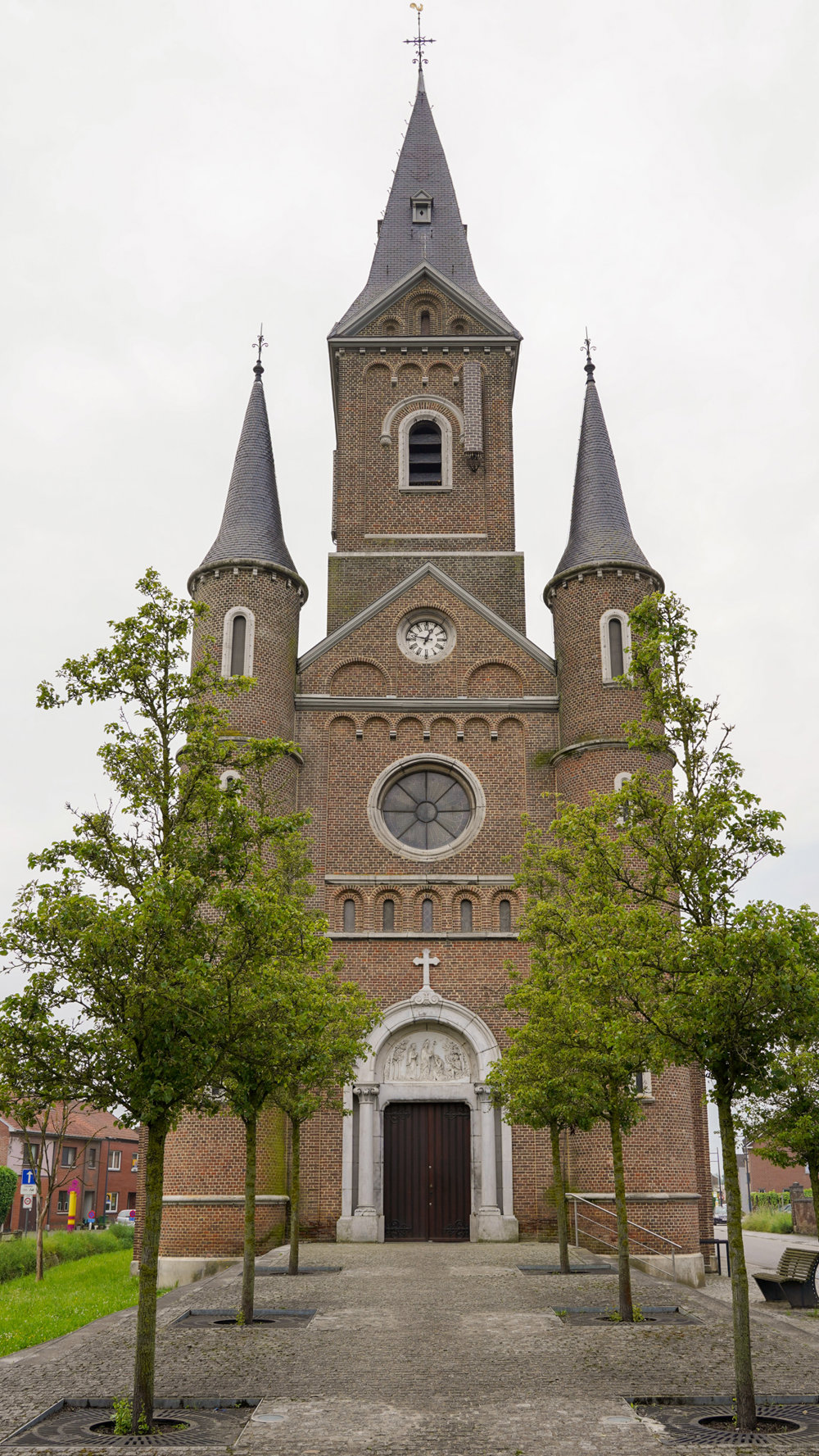
Next, we descend to a section of an old Roman road. We head back towards the center and pass the old town hall. A little further on, the imposing Saint-Servatius church stands near the railway bridge, which we walk under this time.
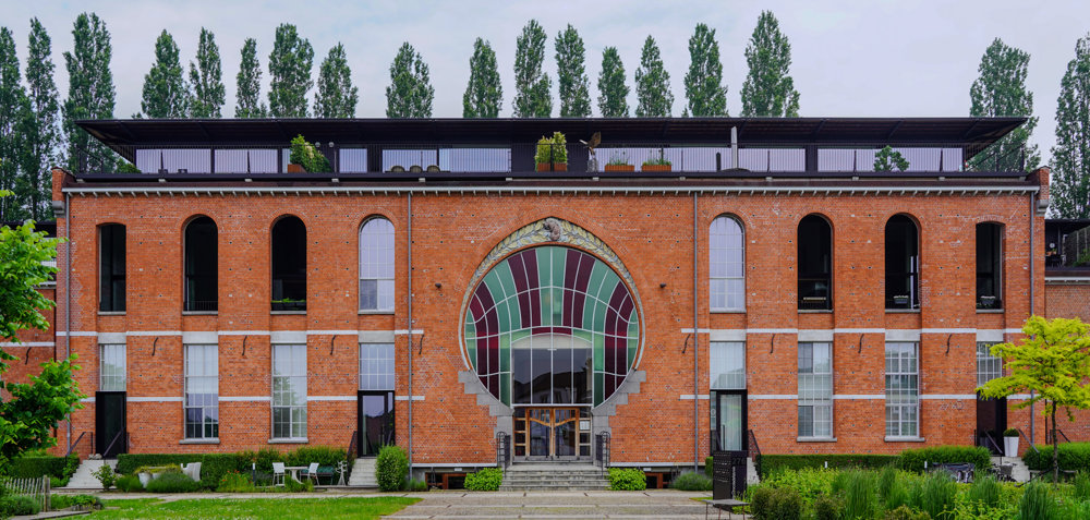
But the most remarkable thing in this village is undoubtedly the former chocolate factory from 1909 that has now been converted into luxury lofts. A little further, you'll see the fairytale castle of the factory director. This gigantic structure with a beautiful garden and driveway is certainly not something you would expect in such a small village. Continue to enjoy this walk on the terrace of the local brasserie.
automatic translation


 Upgrade to Premium Plus
