 Hiking
 Login
Login More
More EN
EN Premium
Along quarry and pond in the Mechelse Heide
automatic translation
9.7 km • Maasmechelen
 official route
1.4726 0 0/5

 Addresse starting point (approximate)
Joseph Smeetslaan 280, 3630 Maasmechelen, BE
 signage
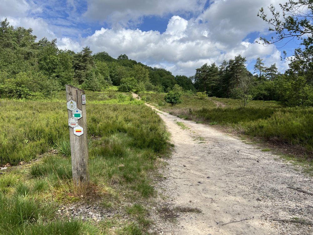
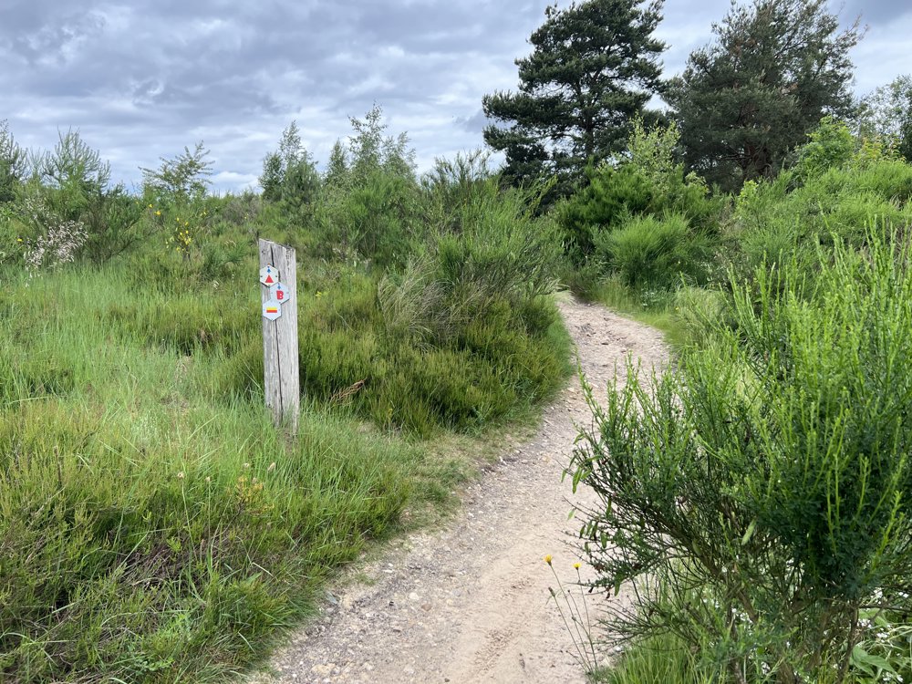
The route is not signposted. Use a GPS device or our app to follow the route through the virtual nodes.
 Description
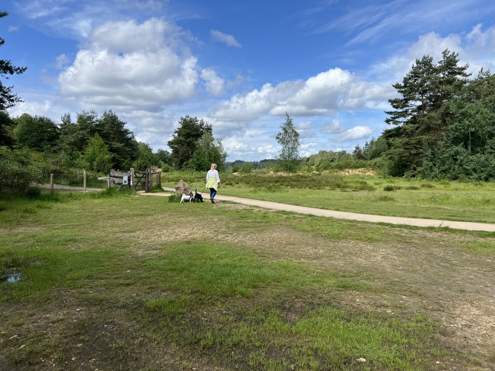
This beautiful walk starts at the Mechelse Heide entrance of the Hoge Kempen National Park in Maasmechelen. There is ample parking available for cars.
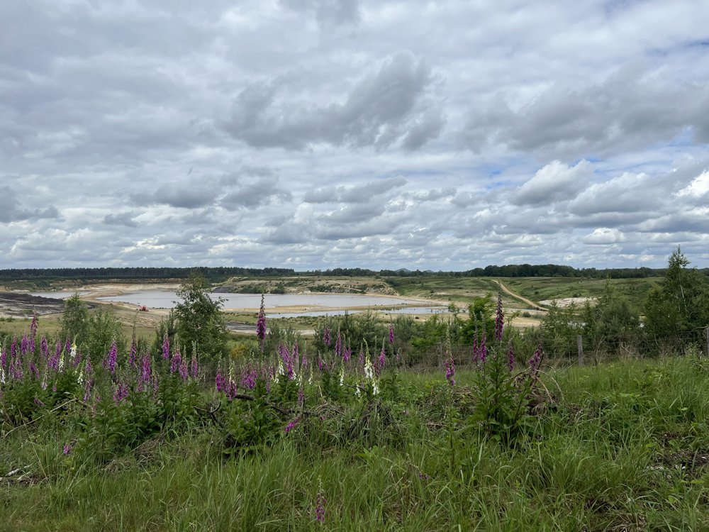
This is a gem of a walk. You walk through the nature reserve 'Ven onder de Berg', one of the most valuable fens in Flanders. The route continues along quiet forest paths until you are suddenly treated to a beautiful panoramic view of the white sand quarry 'Berg-Zuid'. Fens, heathland, water, and other beautiful natural elements continue to amaze you on this journey.
During this walk, do not expect any hospitality stops: you will not pass through any inhabited areas. At numerous spots with beautiful views, there are plenty of benches where you can enjoy your own picnic.
automatic translation
 nodes to follow
0 km
0.2 km
0.3 km
0.8 km
0.9 km
1.9 km
2.3 km
2.4 km
4.4 km
5.6 km
5.7 km
5.9 km
7.3 km
8.5 km
9.5 km
9.7 km


 Upgrade to Premium Plus
