 Hiking
 Login
Login More
More EN
EN Premium
The blue man of Rillaar
automatic translation
9.5 km • Aarschot
8705 0 0/5

 Addresse starting point (approximate)
Leuvenseweg 1, 3202 Aarschot, Belgium
 signage
The route is fully signposted with nodes.
 Description
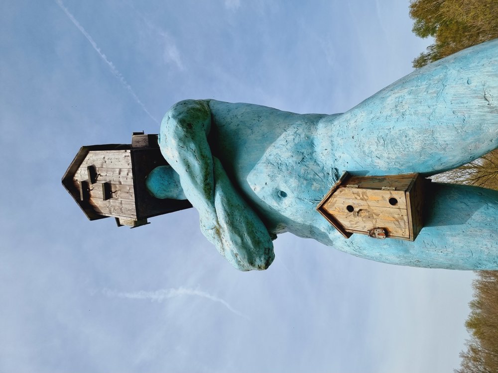
The blue man of Rillaar (also known as De Vogel-locker), I wanted to see years ago already, and since I happened to be in the area, I quickly made a small round trip.
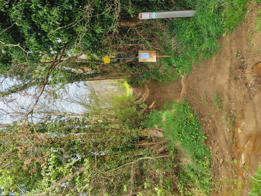
Not spectacular, no boardwalks this time, just a mud-free walk in the quiet neighborhood of Rillaar.
I find the first part better than the second. Still a lot of variety:
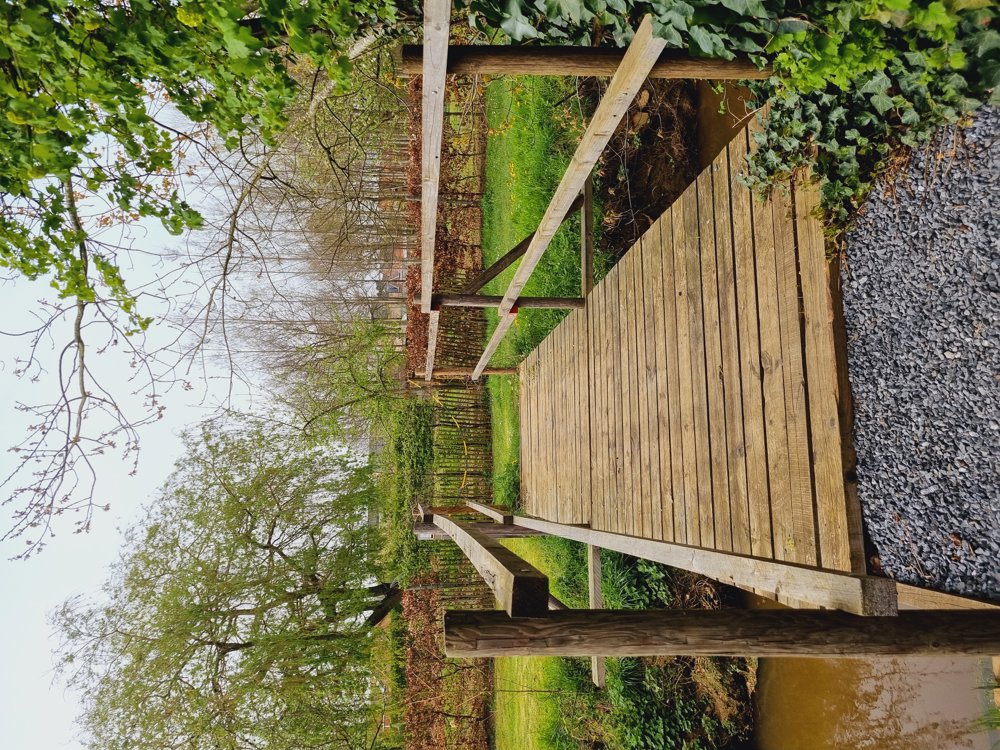
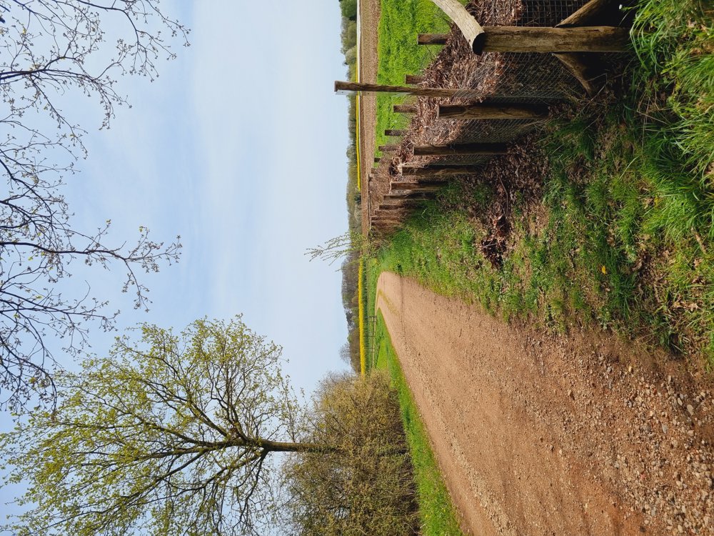
🌳 Natural landscapes
🏘 Residential areas
🏞 Sometimes near water
🫂 Art
Once again charmed by the beautiful rolling landscapes of Flemish Brabant😍
💎 The statue of De Vogel-locker is located between cycling junction 4 and 2 (after about 4.5 km of walking).
🅿️&Starting place: Free parking, Tieltseweg in Rillaar (Flemish Brabant), near the church.
automatic translation
 nodes to follow
0 km
0.6 km
0.9 km
1.2 km
1.9 km
2.5 km
2.5 km
3.7 km
5.5 km
5.9 km
7.2 km
7.7 km
8.5 km
9.2 km
9.5 km


 Upgrade to Premium Plus
