 Hiking
 Login
Login More
More EN
EN Premium
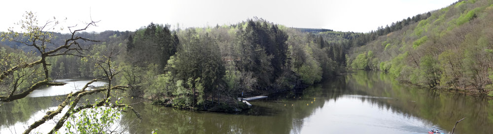
Lake of Nisramont
automatic translation
10 km • Houffalize
2.9935 0 0/5

 Addresse starting point (approximate)
Rue Du Barrage 39A, 6660, BE
 signage
The route is not signposted. Use a GPS device or our app to follow the route through the virtual nodes.
 Description
We did this adventurous hike on 27/04/2025 (14,509 steps).
It is not our habit to start a description with advice. Yet there are a few things to consider before walking the route.
* Good physical condition is required.
* Take the dog only if it is fit enough.
* In our opinion, it is not a route to do with very young children.
* Sturdy footwear and walking sticks are not an unnecessary luxury.
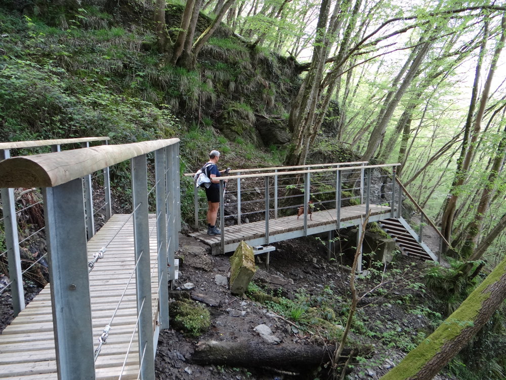
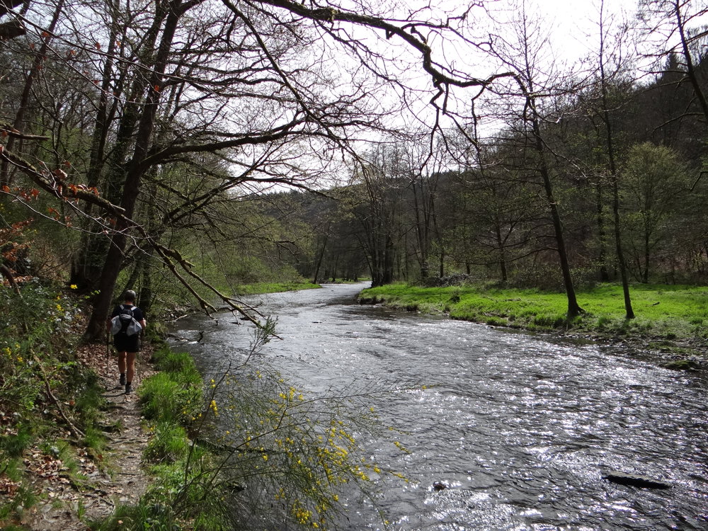
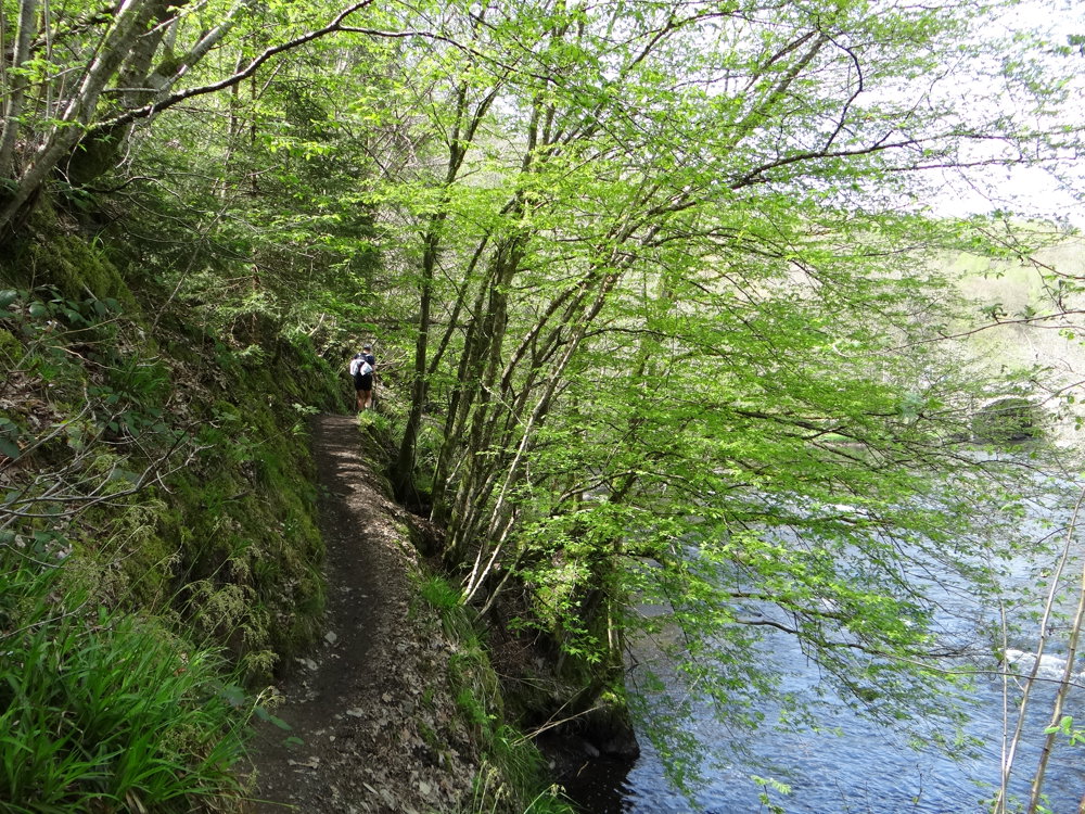
The route starts at the dam and quickly begins with a steep climb along narrow paths and stairs, to descend again to the point where the eastern and western Ourthes meet. From there, one follows the bank of the eastern Ourthe. The last kilometer along this bank goes via a narrow path, where one must really watch where they step.
Via a steep climb, one reaches a plateau, from where one descends to the village of Filly. Here, you can catch your breath! ;o)
More photos: https://photos.app.goo.gl/Ldc5iWbBUNBpXqMu5
ERP
automatic translation
 nodes to follow
0 km
1.3 km
3.2 km
3.9 km
5.1 km
5.8 km
6.2 km
6.7 km
7.5 km
8.3 km
8.6 km
10 km


 Upgrade to Premium Plus
