 Hiking
 Login
Login More
More EN
EN Premium
MTB route, without bike
automatic translation
11.9 km • Clervaux
2.3190 0 0/5

 Addresse starting point (approximate)
Hauptstrooss 1, 9972 Clervaux, LU
 signage
The route is not signposted. Use a GPS device or our app to follow the route.
 Description
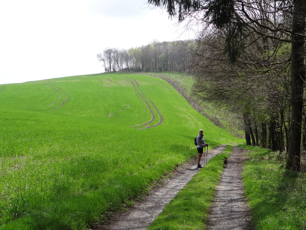
We did this beautiful nature walk on 25/04/2025 (15,684 steps).
This route is the one-way marked MTB route Lieler. For safety reasons, we walked the route in reverse. The disadvantage is that you have to follow it on GPS. The advantage is that you can see the bicycle traffic coming.
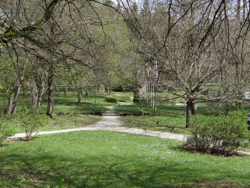
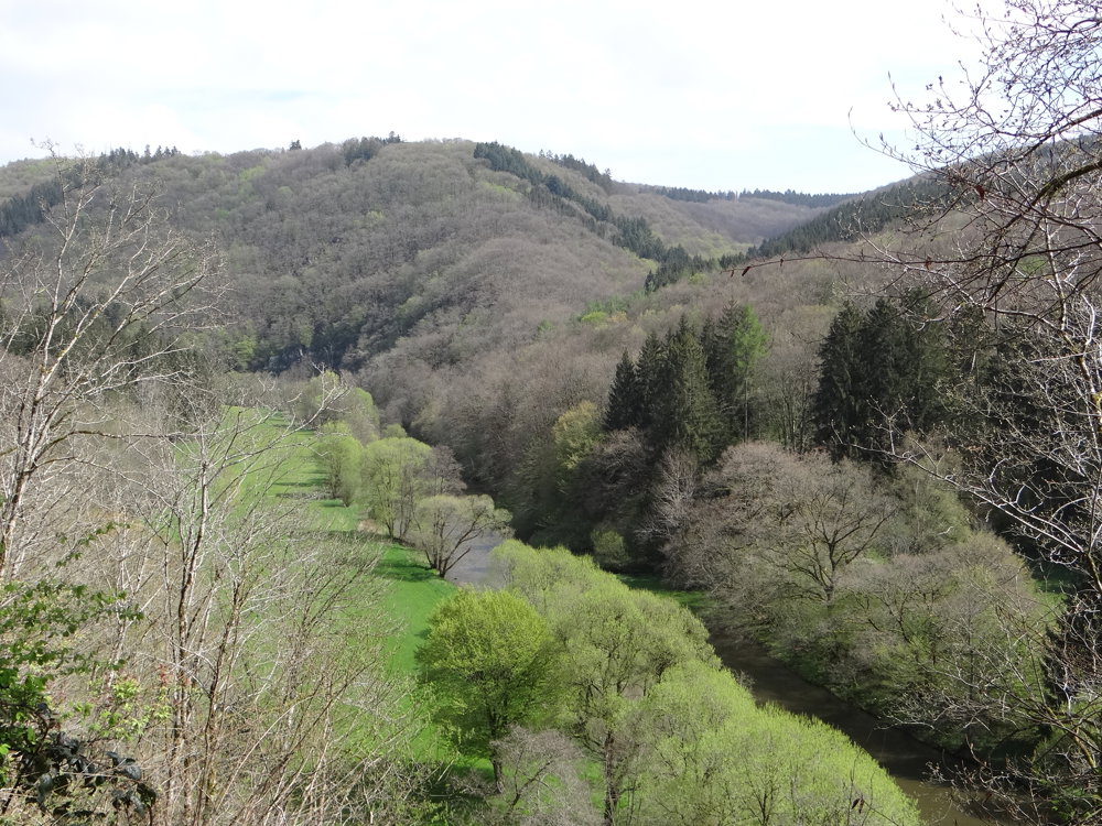
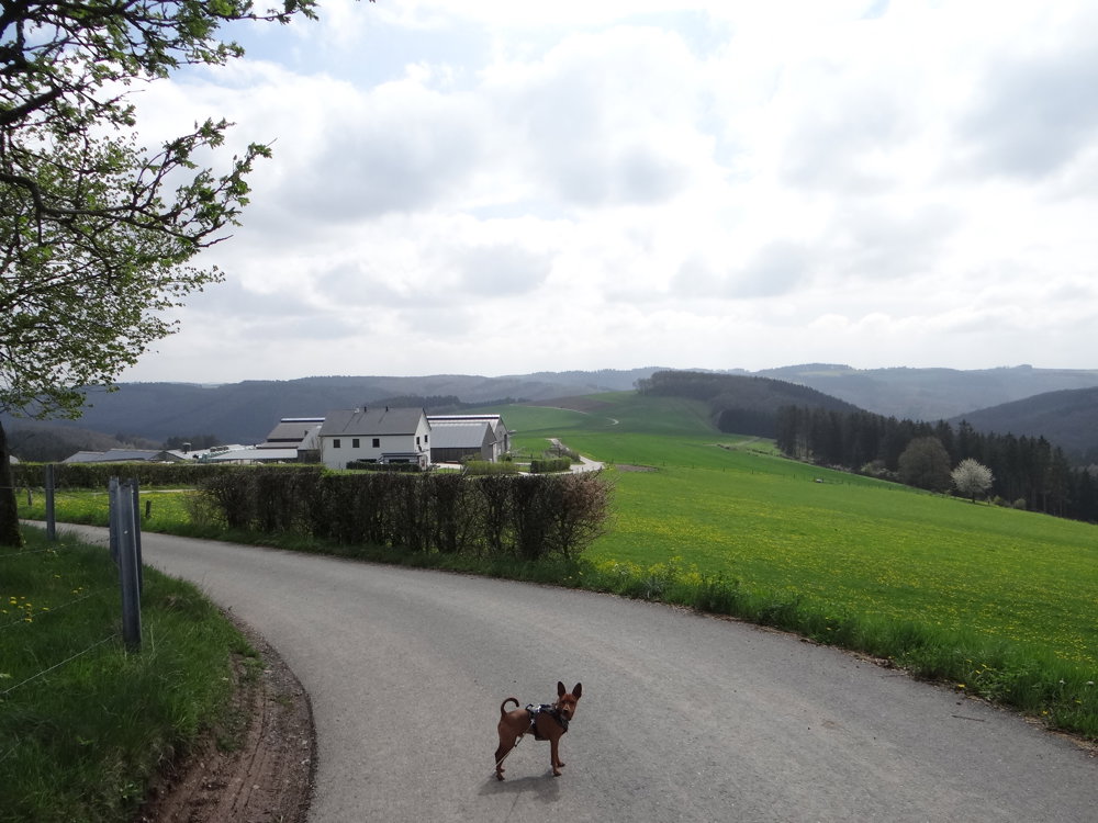
We parked the car at the Cultural Center in Lieler. From there, we quickly descended into the valley of the Roupelsbaach, which flows into the Jansschleederbaach, which in turn flows into the Our. The Our river forms the natural border between Luxembourg and Germany. You follow the Our for quite some time up to the tri-border point Luxembourg/Germany/Belgium. From the tri-border point, it goes uphill through the valley of the Ribach, the natural border Luxembourg/Belgium, back to Lieler. Throughout the entire walk, you are treated to beautiful views.
More photos: https://photos.app.goo.gl/nnFT28qHfWJERGou8
Happy hiking,
Eddy, Rita and Prinske
automatic translation


 Upgrade to Premium Plus
