Loading...

Spicy Border Walk in Westouter Heuvelland

automatic translation

12.5 km • Heuvelland

1.5515 0 0/5

12.5 km 0.0 km 0.0 km
10 km
© OpenStreetMap contributors, Tracestrack

route offered by

Ingrid Tiersen

Icon starting point Addresse starting point (approximate)

Rodebergstraat 51, 8954 Heuvelland, BE

Icon type signage of route signage

The route is fully signposted with nodes.

197.5 m 152 m 148.8 m 42.2 m These values indicate respectively the number of meters to rise, the highest and the lowest point in meters.
© Ingrid Tiersen

Icon description route Description

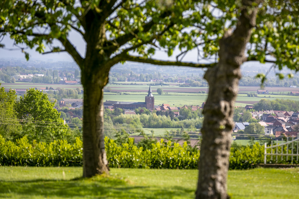
This is a challenging 'mountain' hike in Heuvelland.

You may descend the Rodeberg to warm up, but you return via the 'Mont Noir' - the Zwarteberg on Belgian territory.

The Douve Valley is also crossed; it's very beautiful there!

automatic translation

Icon nodes to follow nodes to follow

Image node 34
0 km
Image node 32
0.2 km
Image node 91
0.4 km
Image node 33
0.5 km
Image node 25
0.6 km
Image node 24
0.8 km
Image node 23
0.9 km
Image node 22
1 km
Image node 10
1.2 km
Image node 19
1.6 km
Image node 1
2.3 km
Image node 2
2.3 km
Image node 59
3.6 km
Image node 58
3.7 km
Image node 56
4.6 km
Image node 81
5.4 km
Image node 57
5.8 km
Image node 80
6.2 km
Image node 96
7.3 km
Image node 95
8 km
Image node 0
8.6 km
Image node 73
8.6 km
Image node 94
8.9 km
Image node 92
9.1 km
Image node 93
9.3 km
Image node 63
9.8 km
Image node 62
10 km
Image node 61
10.2 km
Image node 60
11.2 km
Image node 41
11.3 km
Image node 40
11.6 km
Image node 92
11.9 km
Image node 37
12.1 km
Image node 36
12.2 km
Image node 34
12.5 km
This route does not have any reviews yet. Be the first!
Rate route!

Which POI do you want to show on the map?

Experimental hiking network
Unsigned icon

The route you have chosen runs (partly) along an experimental virtual hiking node network (the blue-coloured nodes and sections on the map).

You must be logged in to plan routes here.

Experimental hiking network
Unsigned icon

The route you have chosen runs (partly) along an experimental virtual hiking node network (the blue-coloured nodes and sections on the map).

These routes are not controlled in the field. Before you start hiking here, take a minute to read what an experimental hiking node network is and what rules you should follow when hiking here.

By clicking 'Accept all cookies,' you agree to the use of cookies for an enhanced user experience, website traffic analysis, and personalized advertisements. Cookie policy