 Hiking
 Login
Login More
More EN
EN Premium
Sonian Forest - from Uccle to Groenendael
automatic translation
10.4 km • Uccle - Ukkel
1.3573 0 0/5

 Addresse starting point (approximate)
Chaussée de La Hulpe - Terhulpsesteenweg 112, Brussels, BE
 signage
The route is not signposted. Use a GPS device or our app to follow the route through the virtual nodes.
 Description
We start from the Drohme parking lot, corner of Terhulpensesteenweg and Franklin Rooseveltlaan.
MIVB tram 81 and bus 4, NMBS Boitsfort station at 500 m.
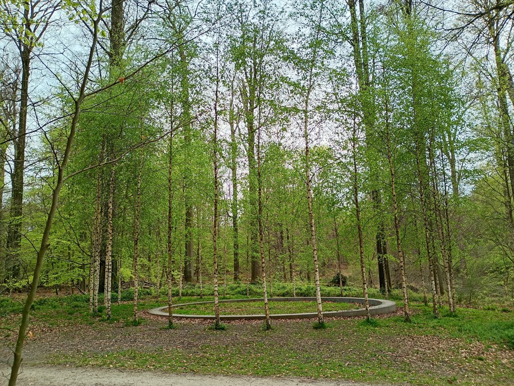
We walk into the forest and after about 2 km we arrive at a circle of 32 birches. This is a monument in memory of the 32 people who perished in the attack at Maalbeek metro station on 22/03/2016.
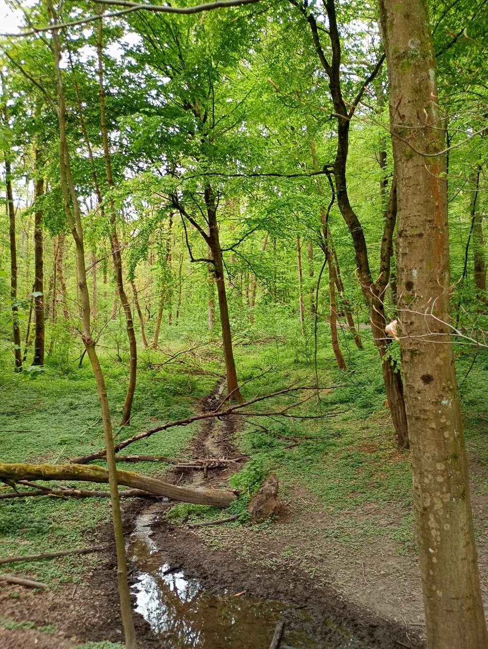
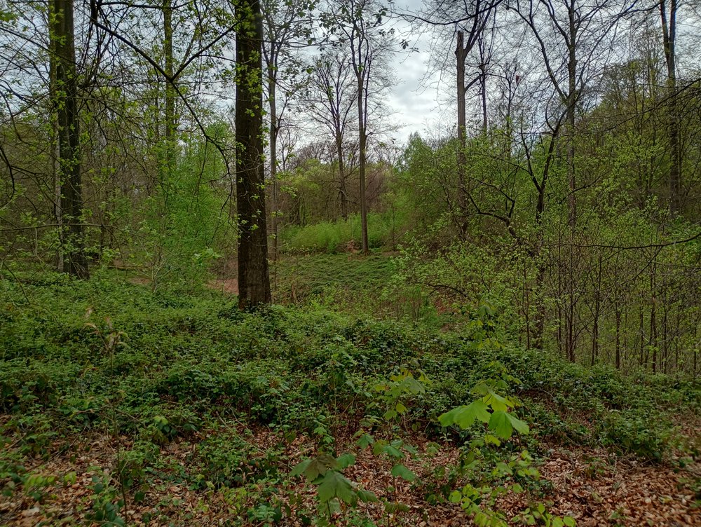
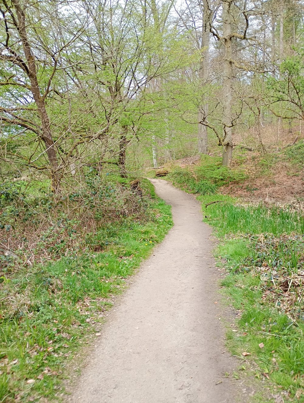
The paths are easily passable, alternating gravel (pedestrians), asphalt (cycle highway) or sand (equestrians). We pass by several ponds and end the walk at the old Boitsfort racetrack with its iconic stands from 1875. The racetrack is still there and is now used by the Brussels Golf Club which has 9 holes there.
automatic translation


 Upgrade to Premium Plus
