 Hiking
 Login
Login More
More EN
EN Premium
Steinbach: Characteristic Ardennes Village
automatic translation
9.1 km • Gouvy
3950 0 0/5

 Addresse starting point (approximate)
No address found
 signage
The route is not signposted. Use a GPS device or our app to follow the route through the virtual nodes.
 Description
Marking: GR 57 and partly none.
We did this walk on 04/20/2025 (11,600 steps).
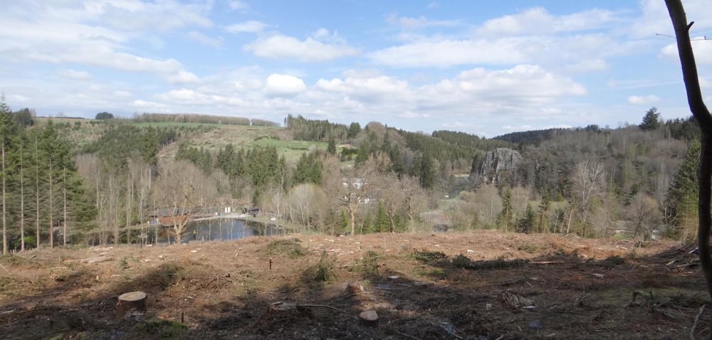
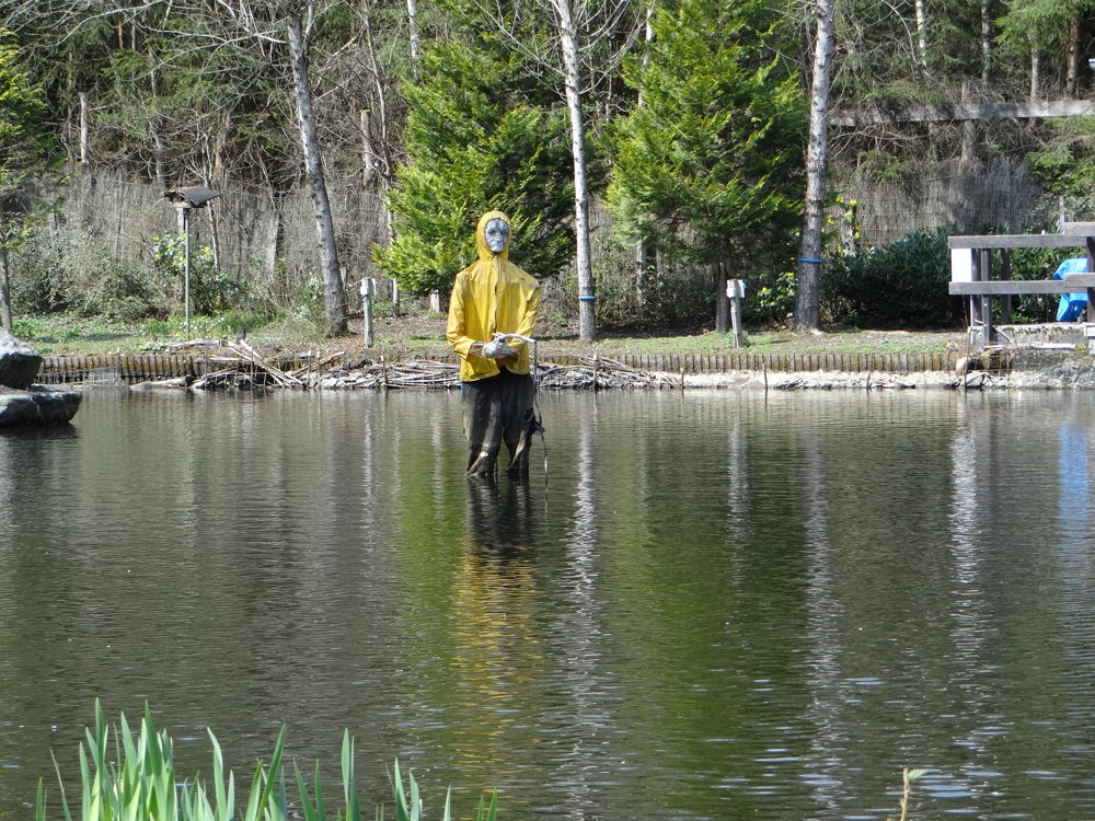
Steinbach is a characteristic Ardennes village, crossed by a small stream, a tributary of the Eastern Ourthe. The village consists of buildings (farms), mostly built from the 17th century onwards using slate and topped with cherbins roofs (local slate).
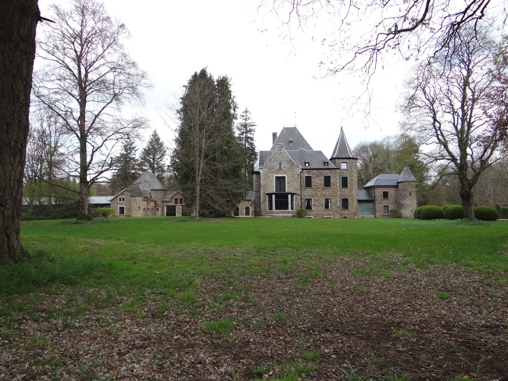
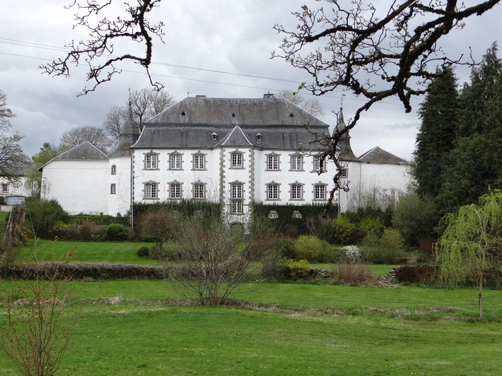
There is also remarkable heritage such as Château de Beurthé, Château du Mesnil, and Domaine de la Ferme. The church, dedicated to Saints Peter and Paul, built in 1903, is surrounded by the cemetery, which is enclosed by a slate wall. In the lower part of the village, an artificial grotto was erected in 1943, dedicated to Our Lady of Lourdes.
West of the road to Cetturu lies the castle and farm of Lihérin, also known as Laide Fagne.
More photos: https://photos.app.goo.gl/dPjWWzRWvnETorhVA
Happy hiking,
Eddy, Rita, and Prinske
automatic translation
 nodes to follow
0 km
0.4 km
0.7 km
3.6 km
3.9 km
5.7 km
6.9 km
9.1 km


 Upgrade to Premium Plus
