 Hiking
 Login
Login More
More EN
EN Premium
Mont Saint-Louis with expansive views
automatic translation
8.7 km • Pas-de-Calais
2931 0 0/5

 Addresse starting point (approximate)
No address found
 signage
The route is fully signposted with thematic signs (no nodes).
 Description
This is a lovely hiking loop of about 8 km from the village of Tournehem-sur-la-Hem (region Saint-Omer in France).
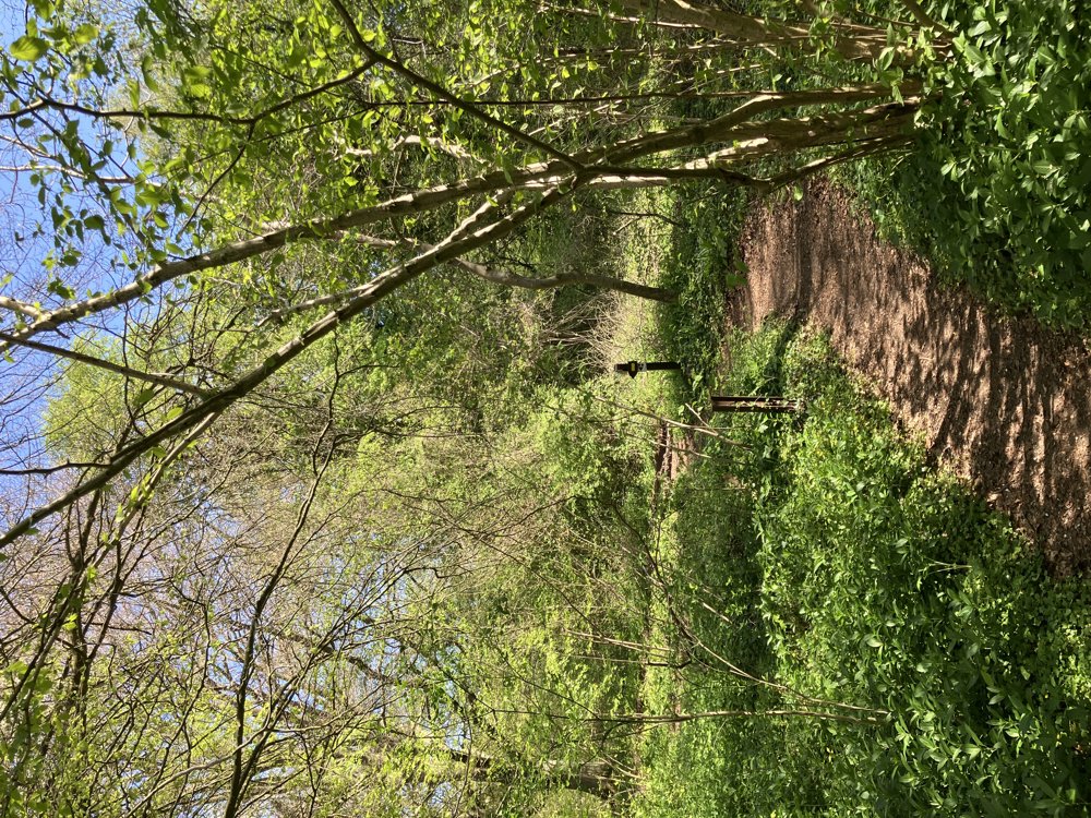
We started the hike on Rue de l'Étang, where one can park (see map). The hike is excellently marked counterclockwise with yellow markers.
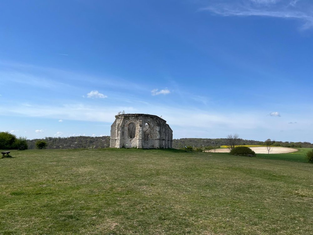
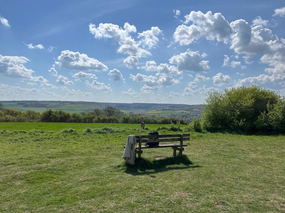
From Tournehem, there is first a fairly steep climb through a wooded area. On the ridge, we reach open terrain with beautiful views in all directions over French Flanders. At the chapel of Saint-Louis (a ruin, partially restored), there are some inviting benches for resting.
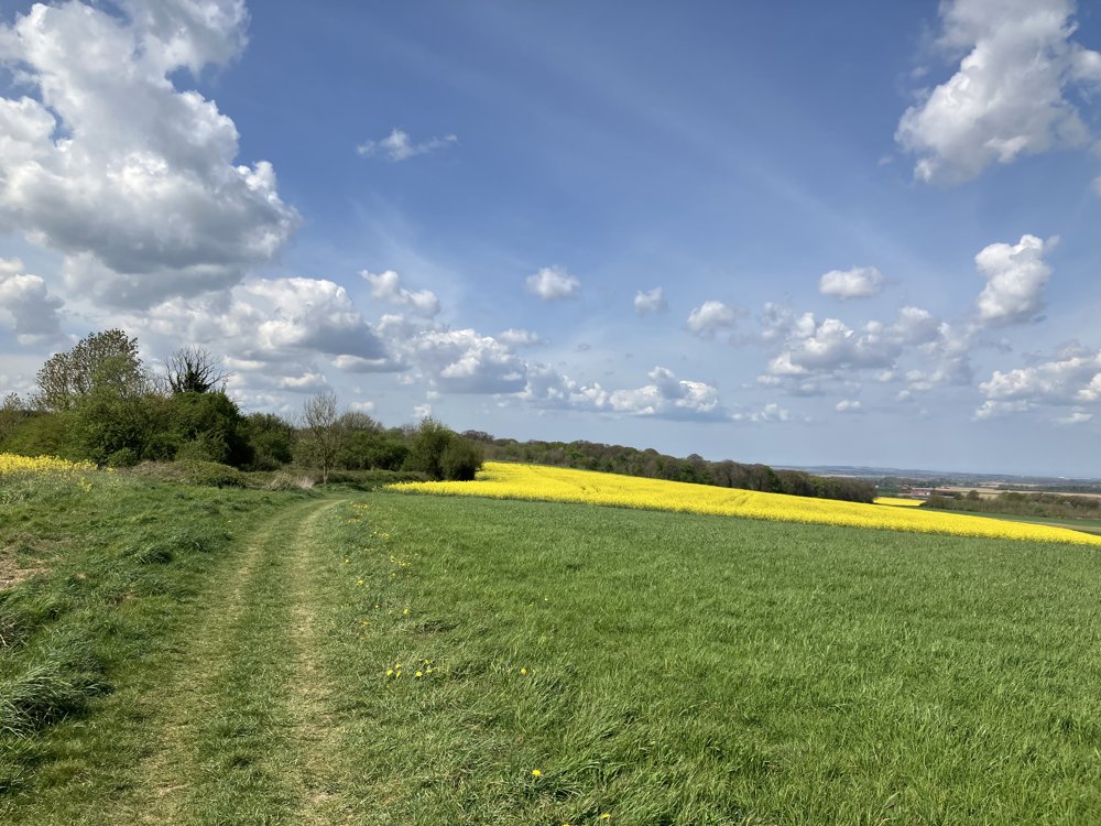
From the chapel, it goes slowly back down to the village of Tournehem via varied paths. The hike can also potentially start from the parking area along Rue du Mont Saint-Louis (D225). The chapel is only a few hundred meters from this parking area.
automatic translation


 Upgrade to Premium Plus
