Loading...

Neigem Forest (near Ninove)

automatic translation

11.1 km • Ninove

2110 0 0/5

11.1 km 0.0 km 0.0 km
10 km
© OpenStreetMap contributors, Tracestrack

route offered by

Peter D'hont

Icon starting point Addresse starting point (approximate)

No address found

Icon type signage of route signage

The route is partially signposted with nodes. Use a GPS device or our app to follow the route.

132.3 m 140.8 m 98.2 m 23 m These values indicate respectively the number of meters to rise, the highest and the lowest point in meters.
Atmosphere image 1 of route Neigem Forest (near Ninove) Atmosphere image 2 of route Neigem Forest (near Ninove) Atmosphere image 3 of route Neigem Forest (near Ninove)
© Peter D'hont

Icon description route Description

Departure: parking at OLV Chapel Bevingen - Bevingen 20 - 9400 Ninove

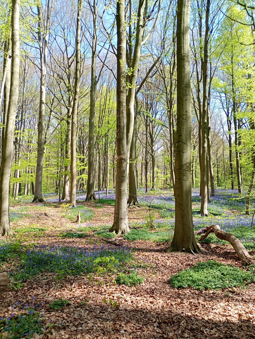
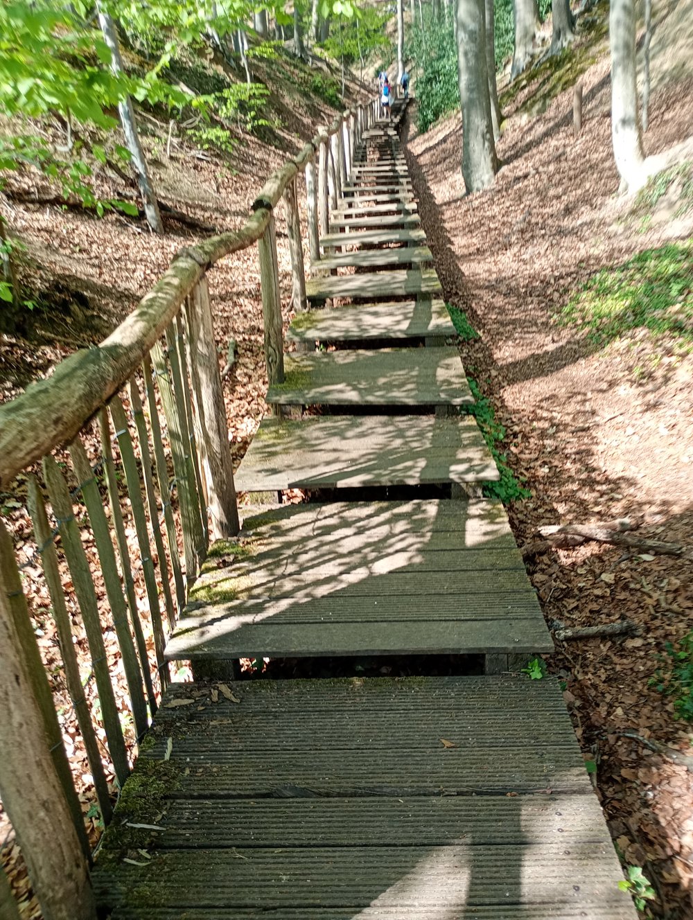
Walk through woods, over boardwalks, and along beautiful villages. In spring, the hyacinths here are as beautiful as in the Hallerbos, only it's not as touristically busy.

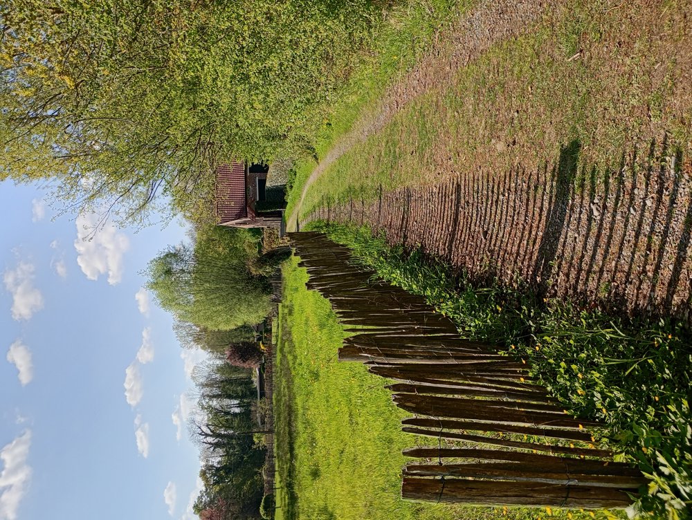
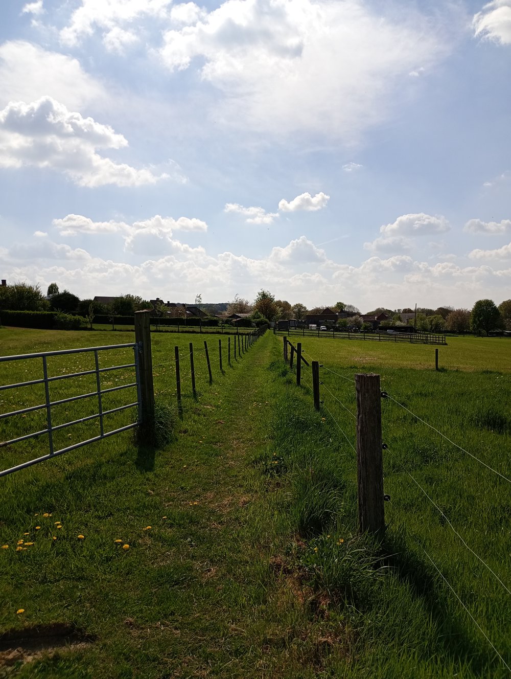
A very quiet region.

automatic translation

Icon nodes to follow nodes to follow

Image node 13
0 km
Icon deviation route
0.4 km
Icon deviation route
1 km
Image node 811
2.2 km
Image node 818
2.7 km
Image node 817
3.5 km
Icon deviation route
3.6 km
Icon deviation route
4.3 km
Icon deviation route
5.2 km
Icon deviation route
6.1 km
Icon deviation route
6.9 km
Icon deviation route
7.6 km
Icon deviation route
8.2 km
Icon deviation route
9.7 km
Icon deviation route
10.4 km
Icon deviation route
11 km
Icon stop route
11.1 km
This route does not have any reviews yet. Be the first!
Rate route!

Which POI do you want to show on the map?

Experimental hiking network
Unsigned icon

The route you have chosen runs (partly) along an experimental virtual hiking node network (the blue-coloured nodes and sections on the map).

You must be logged in to plan routes here.

Experimental hiking network
Unsigned icon

The route you have chosen runs (partly) along an experimental virtual hiking node network (the blue-coloured nodes and sections on the map).

These routes are not controlled in the field. Before you start hiking here, take a minute to read what an experimental hiking node network is and what rules you should follow when hiking here.