Loading...

from Dendergem to Markegem

automatic translation

12.5 km • Dentergem

1201 0 0/5

12.5 km 0.0 km 0.0 km
10 km
© OpenStreetMap contributors, Tracestrack

route offered by

Peter D'hont

Icon starting point Addresse starting point (approximate)

No address found

Icon type signage of route signage

The route is not signposted. Use a GPS device or our app to follow the route.

42.4 m 47 m 22.4 m 5.8 m These values indicate respectively the number of meters to rise, the highest and the lowest point in meters.
Atmosphere image 1 of route from Dendergem to Markegem Atmosphere image 2 of route from Dendergem to Markegem Atmosphere image 3 of route from Dendergem to Markegem
© Peter D'hont

Icon description route Description

Departure: OLV and Saint Stephen's Church - Kerkstraat - Dentergem

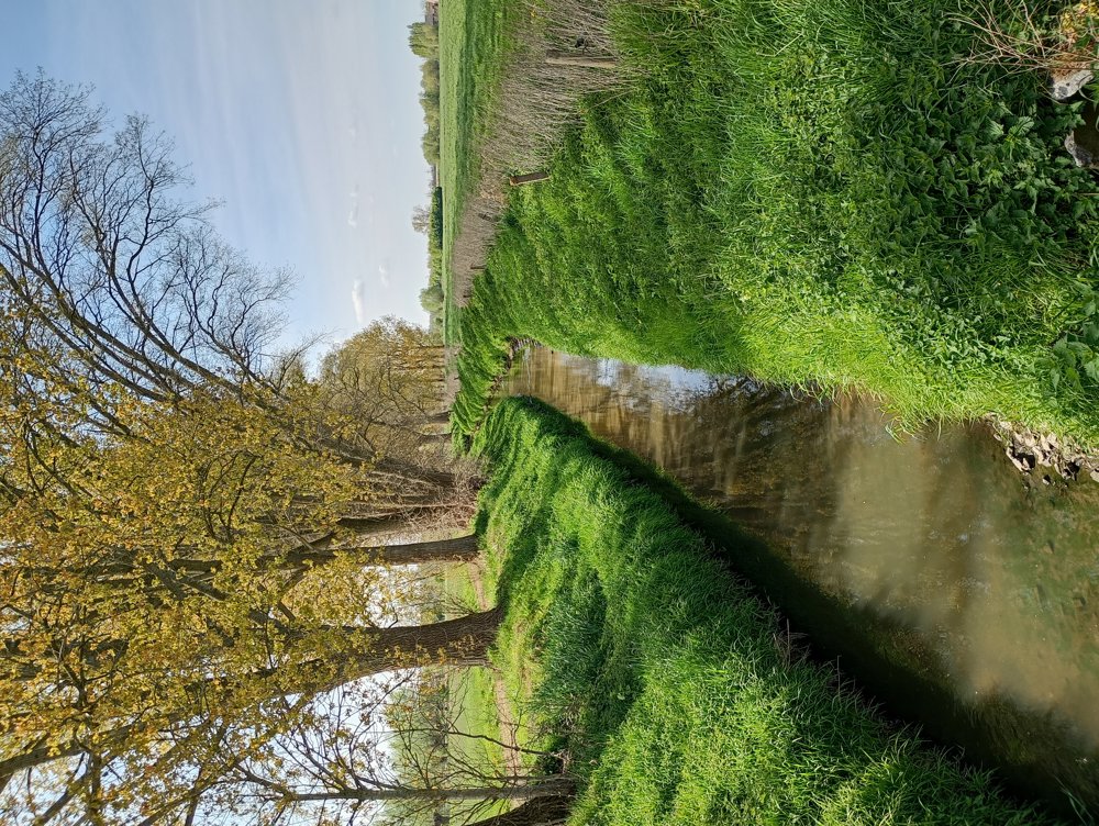
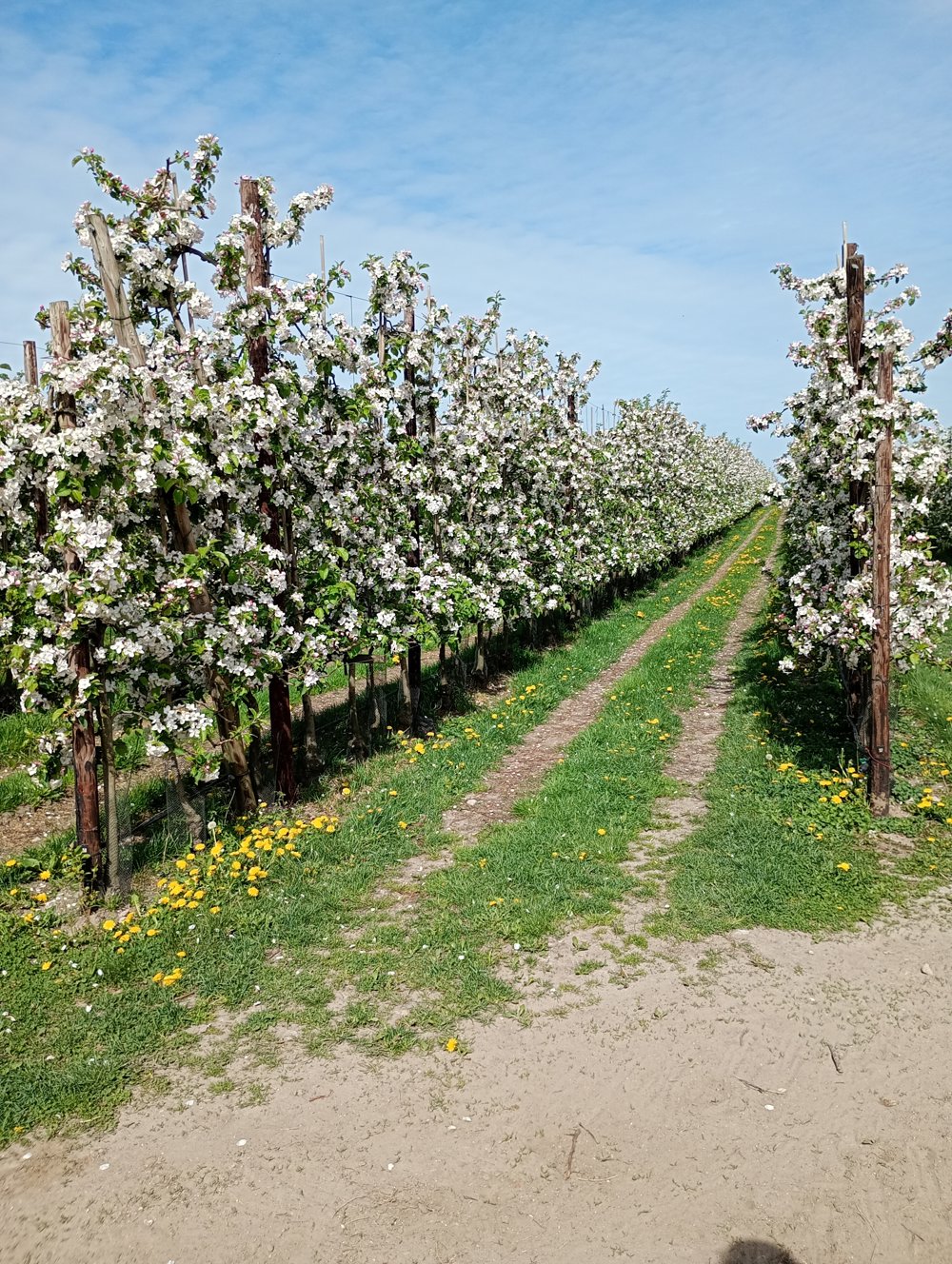
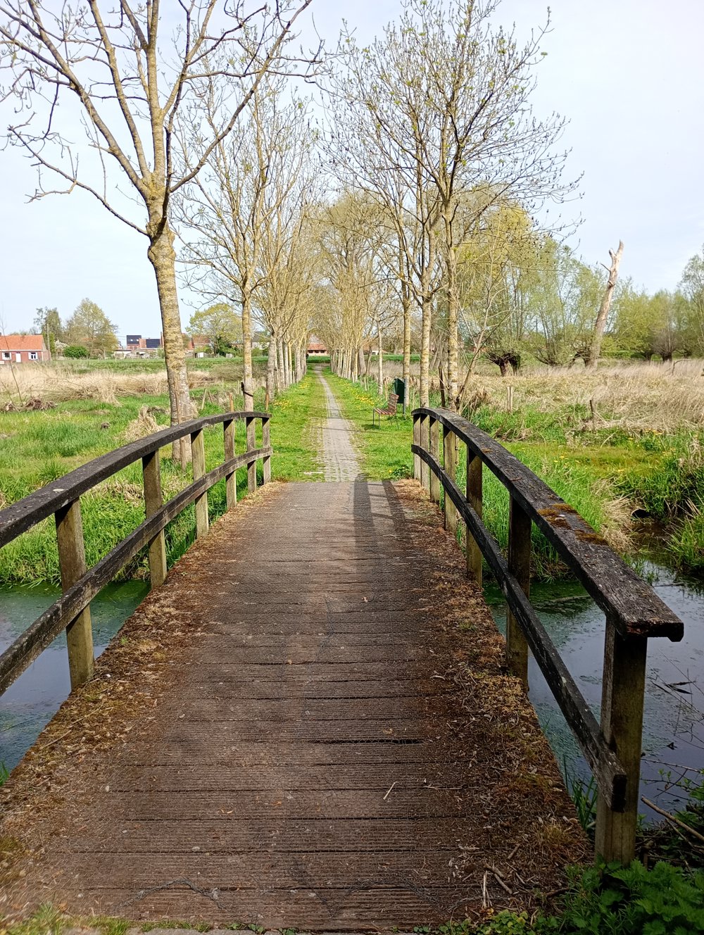
A quiet walk through the West Flanders countryside, partly on unpaved roads. This route is also recommended in spring as a blossom walk.

Along the way, a sanitary stop can be made at the Markegem sports hall.

automatic translation

This route does not have any reviews yet. Be the first!
Rate route!

Which POI do you want to show on the map?

Experimental hiking network
Unsigned icon

The route you have chosen runs (partly) along an experimental virtual hiking node network (the blue-coloured nodes and sections on the map).

You must be logged in to plan routes here.

Experimental hiking network
Unsigned icon

The route you have chosen runs (partly) along an experimental virtual hiking node network (the blue-coloured nodes and sections on the map).

These routes are not controlled in the field. Before you start hiking here, take a minute to read what an experimental hiking node network is and what rules you should follow when hiking here.

By clicking 'Accept all cookies,' you agree to the use of cookies for an enhanced user experience, website traffic analysis, and personalized advertisements. Cookie policy