Loading...

Nature and Culture.

automatic translation

17.1 km • Lier

1360 0 0/5

17.1 km 0.0 km 0.0 km
10 km
© OpenStreetMap contributors, Tracestrack

route offered by

Jan Theunis

Icon starting point Addresse starting point (approximate)

Fortweg 24, 2500 Lier, BE

Icon type signage of route signage

The route is fully signposted with nodes.

43 m 40.2 m 15.6 m 2.4 m These values indicate respectively the number of meters to rise, the highest and the lowest point in meters.
Atmosphere image 1 of route Nature and Culture. Atmosphere image 2 of route Nature and Culture. Atmosphere image 3 of route Nature and Culture.
© Jan Theunis

Icon description route Description

Parking: Fort of Lier, Fortweg Lier.

Signage: Junctions.

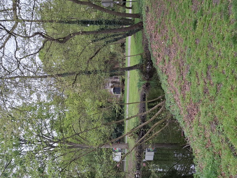
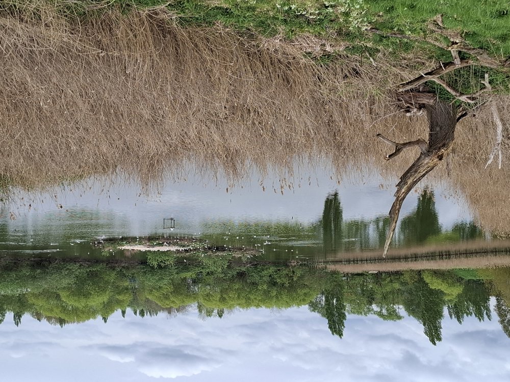
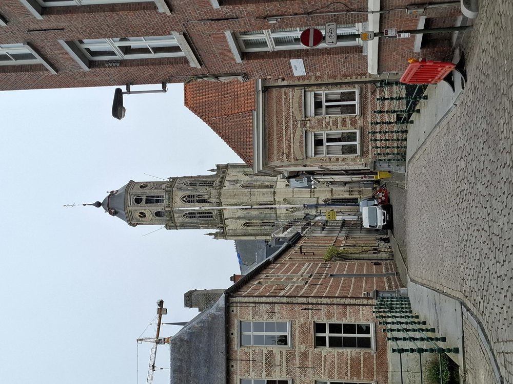
First a little stretch through nature along the moat of the fort and through the meadow. The "ugliest" part is from 2.7 to 5.1 km (Spreet); this is an ordinary street with quite a lot of traffic. Then you walk through the 'Mushaagbos', short but beautiful, with various flowers. Then 800 m along the bike path by the Berlaarsesteenweg; stay on the right side of the road, because just over the bridge you must carefully go down to the right. Along the Nete Canal, it continues to the 'Nete' and the historic center of Lier. All in all, a fun varied walk with both culture and nature.

Bench(es): among others after 0.7/8.8/9.9/11.9/12.7 and 14.2 km.

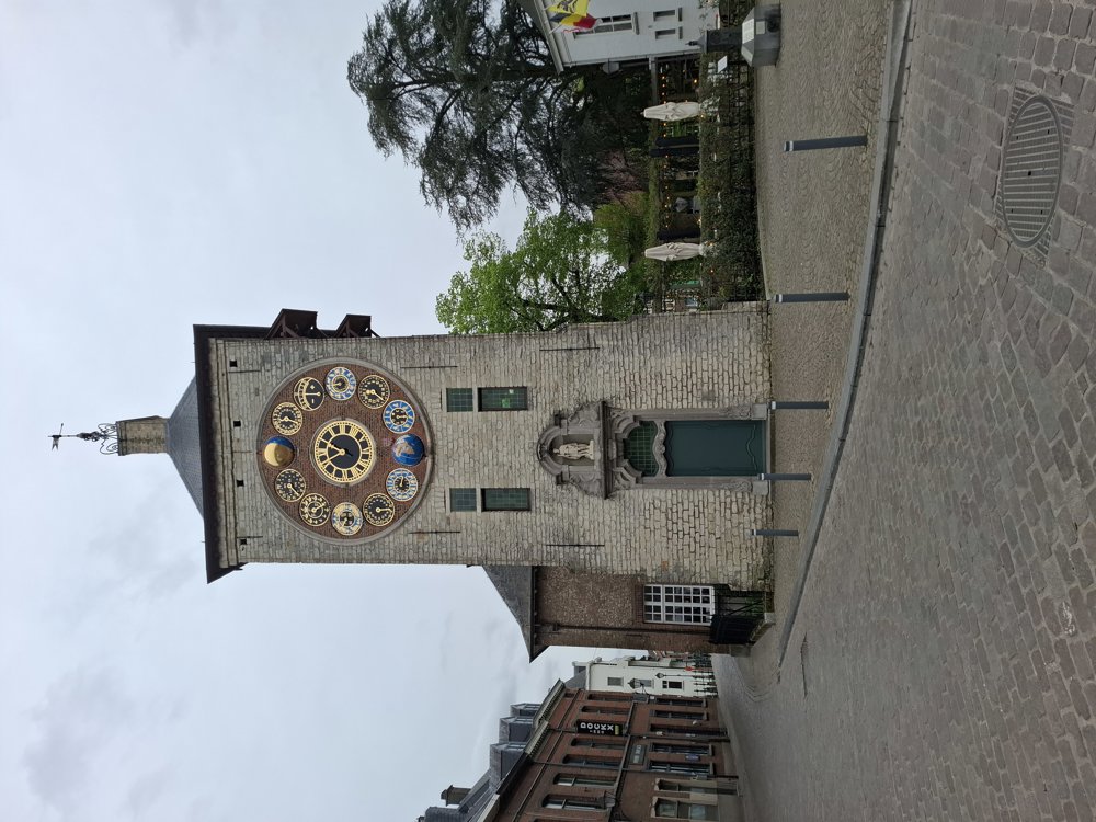
Sights: Fort of Lier, Beguinage, Zimmer Tower, Saint Gummarus Church.

Catering: Center of Lier.

automatic translation

Icon nodes to follow nodes to follow

Icon start route
0 km
Image node 25
0.4 km
Image node 24
1.2 km
Image node 26
3.6 km
Image node 21
5.1 km
Image node 17
5.6 km
Image node 20
6.5 km
Image node 45
6.8 km
Image node 18
7 km
Image node 12
7.2 km
Image node 44
7.3 km
Image node 44
7.3 km
Image node 43
7.7 km
Image node 42
10 km
Image node 41
10.2 km
Image node 33
11.9 km
Image node 33
11.9 km
Image node 32
12.1 km
Image node 32
12.2 km
Image node 34
12.4 km
Image node 35
12.7 km
Image node 31
13 km
Image node 1
13.7 km
Image node 3
13.9 km
Image node 30
14.2 km
Image node 9
14.8 km
Image node 9
14.8 km
Image node 39
15.2 km
Image node 44
15.5 km
Image node 12
15.5 km
Image node 12
15.6 km
Image node 23
17.1 km
Icon stop route
17.1 km
This route does not have any reviews yet. Be the first!
Rate route!

Which POI do you want to show on the map?

Experimental hiking network
Unsigned icon

The route you have chosen runs (partly) along an experimental virtual hiking node network (the blue-coloured nodes and sections on the map).

You must be logged in to plan routes here.

Experimental hiking network
Unsigned icon

The route you have chosen runs (partly) along an experimental virtual hiking node network (the blue-coloured nodes and sections on the map).

These routes are not controlled in the field. Before you start hiking here, take a minute to read what an experimental hiking node network is and what rules you should follow when hiking here.

By clicking 'Accept all cookies,' you agree to the use of cookies for an enhanced user experience, website traffic analysis, and personalized advertisements. Cookie policy