 Hiking
 Login
Login More
More EN
EN Premium
Auto Pedestrian Schlindermanderscheid
automatic translation
7.4 km • Bourscheid
580 0 0/5

 Addresse starting point (approximate)
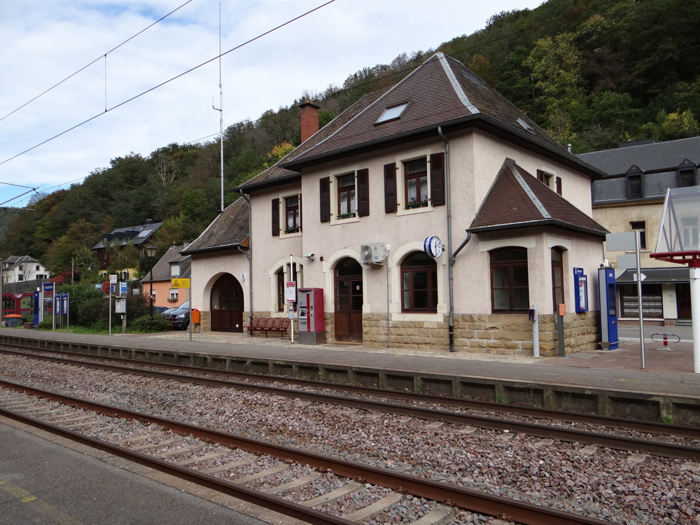
Op Der Gare 11, 9153 Bourscheid, LU
 signage
The route is fully signposted with thematic signs (no nodes).
 Description
Markings in both directions: blue diamond on white
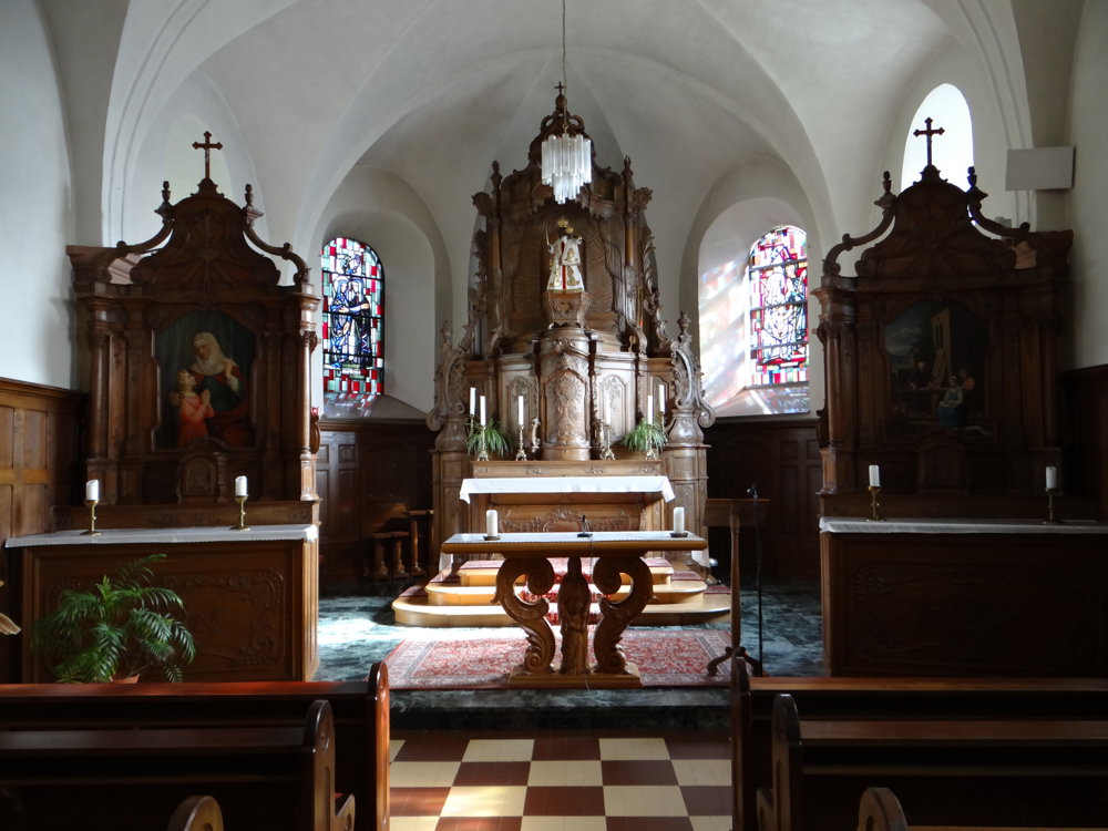
The route follows the N27 until you take a small street next to the railway, and then take a semi-paved path (Unterm Alten Weg) to the right fairly quickly. Presumably, this was the old road towards Schlindermanderscheid. After a rather steep climb, you arrive at Schlindermanderscheid on the CR348, which you follow through the village. The church, with its modest interior, is worth a visit.
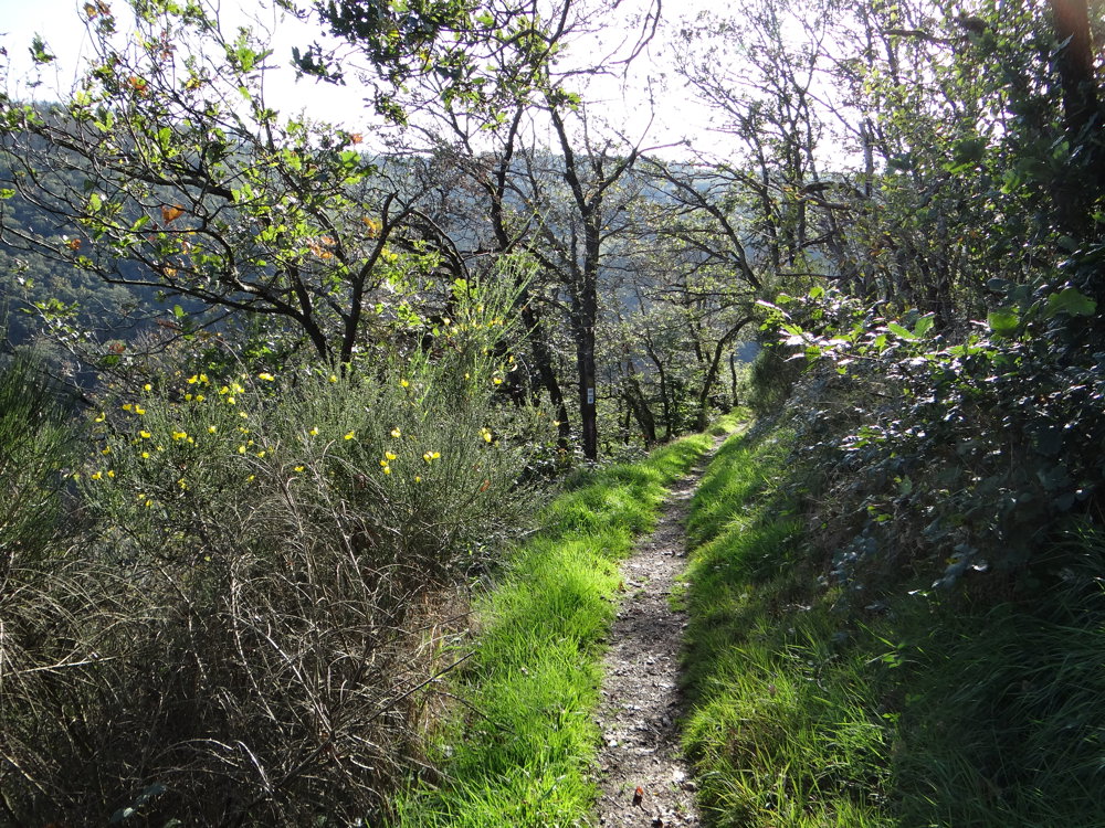
After passing through the village, you enter a forest, where you take narrow paths to the place (rock formation) called Malpaartes Castle. Renert lives in Malpaartes Castle.
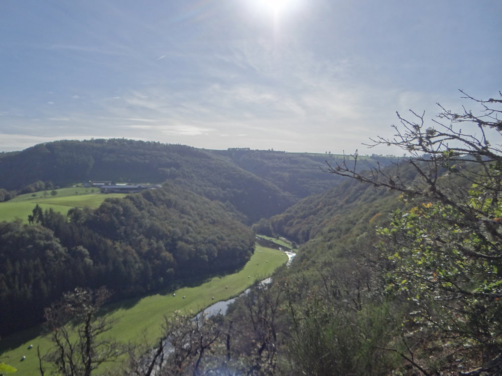
From there, you descend into the valley of the Schlënner brook. The valley is followed until you reach the edge of Schlindermanderscheid. From there, you go along the flank of the Sûre valley back to Goebelmühle. Don't forget to enjoy the many beautiful views.
More photos: https://photos.app.goo.gl/JEjpKkjfaSURYKkF7
Happy hiking,
Eddy, Rita, and Prinske
automatic translation


 Upgrade to Premium Plus
