 Hiking
 Login
Login More
More EN
EN Premium
Schoenfells Gousselerbierg Nature Experience Trail
automatic translation
9.6 km • Mersch
601 0 0/5

 Addresse starting point (approximate)
Rue Du Village 2, 7473 Mersch, LU
 signage
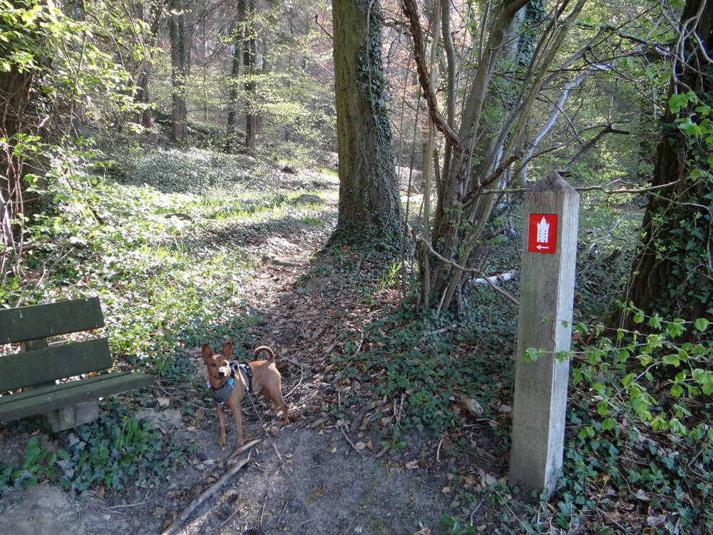
The route is fully signposted with thematic signs (no nodes).
 Description
We did this hike on 04/12/2025 (12,644 steps)
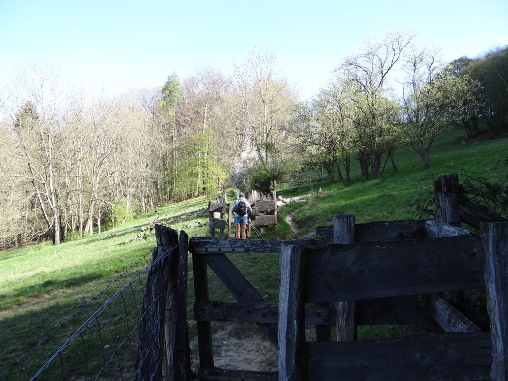
The Eisch-Mamertal region has a rich cultural past and is characterized by particularly varied nature and landscape. Burg Schoenfels is the starting point of the approximately 10 km long nature trail, where you can explore the varied landscape around the plateau east of the city.
Along the way, you can experience the landscape park, ancient beech forests, rock formations, and a varied cultural landscape. It shows how centuries of human use have influenced the landscape and nature and what traces of long-gone forms of use are still visible.
° Sights:
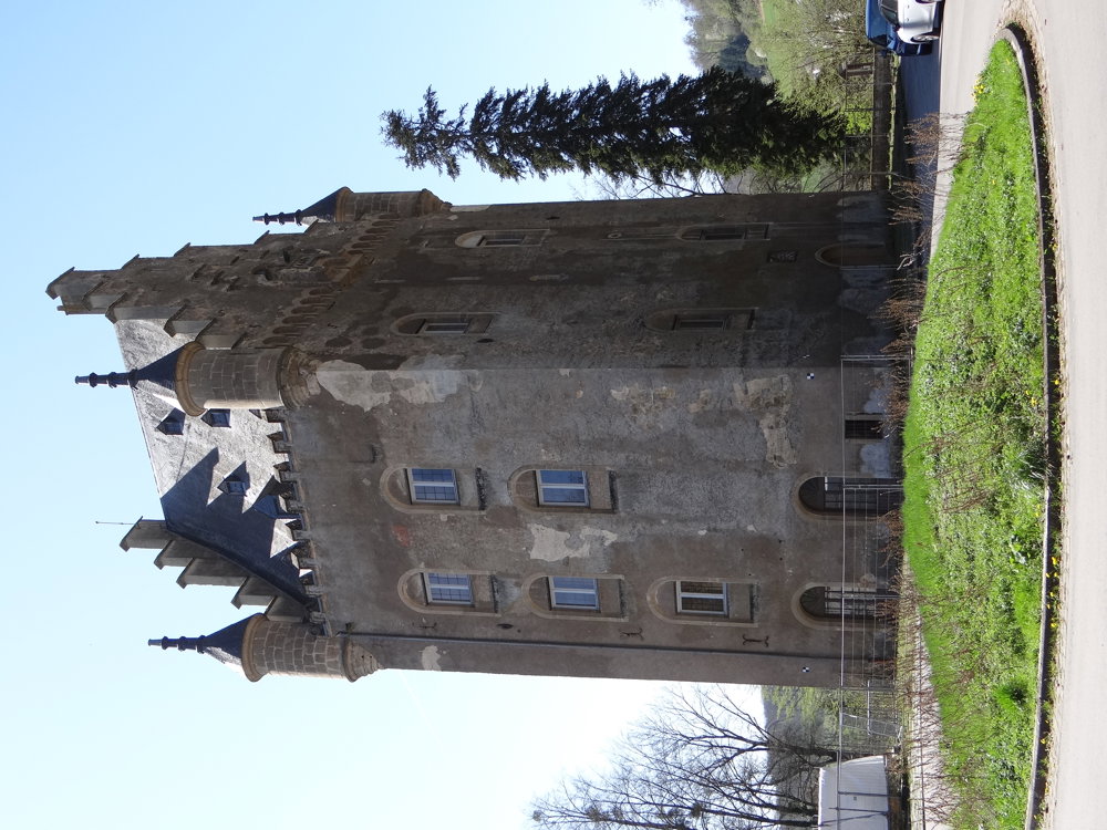
* Castle Schoenfels
* Heathlands and calcareous grasslands
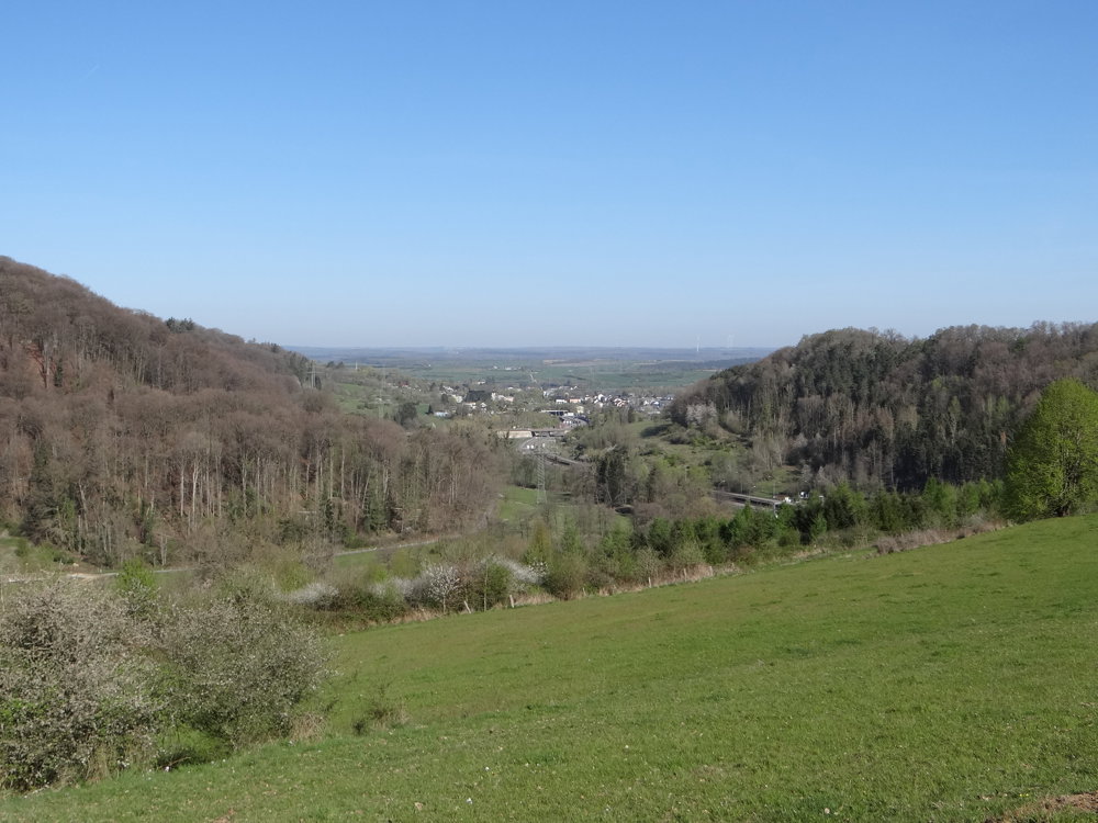
* Panoramic view of the Mamer Valley
° Rare flora and fauna:
* Twelve species of bats
* The red kite and the black kite
* The black woodpecker
More photos: https://photos.app.goo.gl/ivFaa28yCyJbrV4h7
Happy hiking,
Eddy, Rita, and Prinske
automatic translation


 Upgrade to Premium Plus
