 Hiking
 Login
Login More
More EN
EN Premium
Guttland.Trail Riedergrënn
automatic translation
7.6 km • Ell
140 0 0/5

 Addresse starting point (approximate)
Kierchewee 2, 8560 Ell, LU
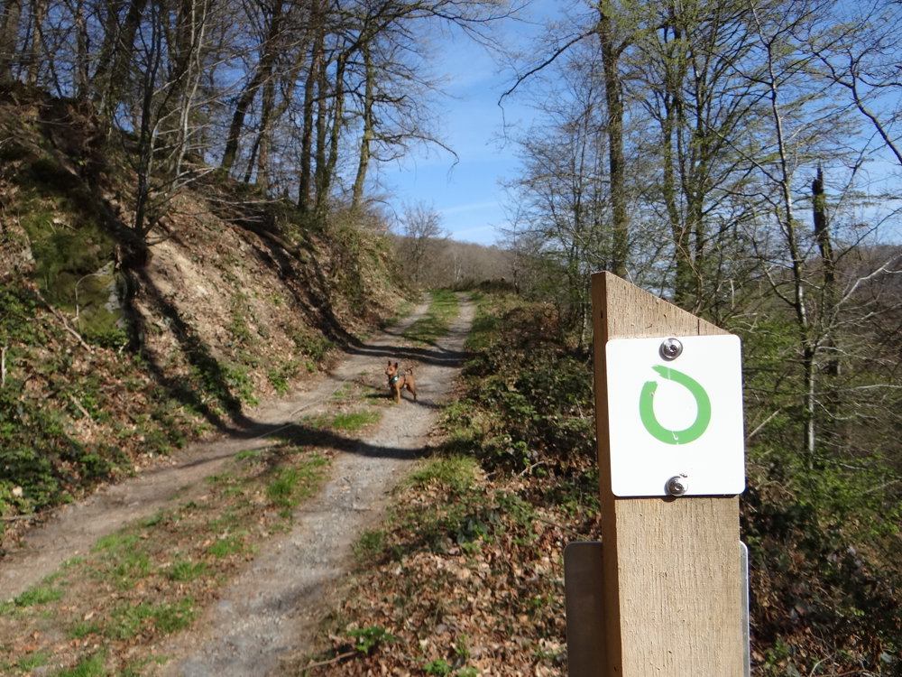
 signage
The route is fully signposted with thematic signs (no nodes).
 Description
We did this beautiful, invigorating nature walk on 11/04/2025. (11,190 steps)
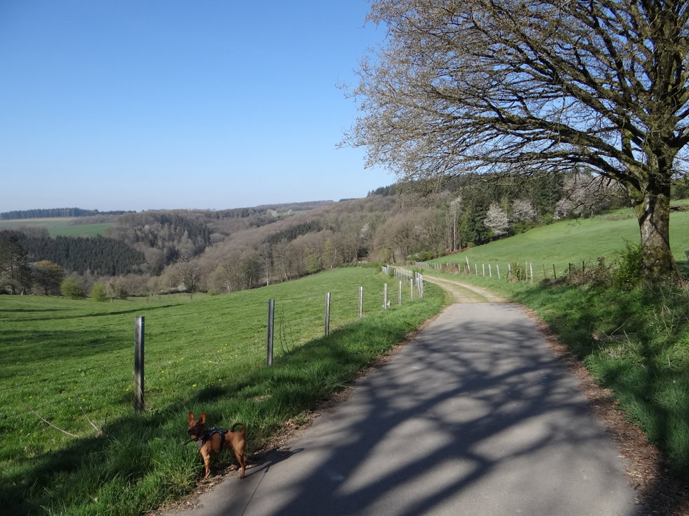
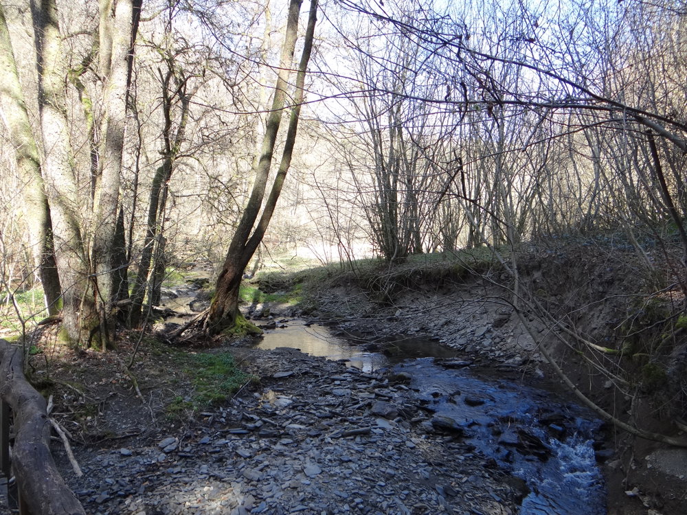
In the middle of the peaceful green valley of 'Riedergrënn'. This walk takes you along pristine nature trails to mysterious ponds nestled in a lush valley known as 'Riedergrënn'. A gentle stream, the 'Koulbich', meanders through this idyllic landscape. 'Riedergrënn' means 'the valleys of Roodt', the village from which the walk begins.
What makes this walking route particularly fascinating is the geological diversity: it crosses two different regions, Guttland and Eislék. Here, sandstone and slate rock formations provide a striking contrast, and the foothills of the Ardennes add a gentle undulation to the terrain. This ever-changing landscape and the unspoiled nature make the walk a truly unique experience.
Source: Visit Guttland
More photos: https://photos.app.goo.gl/AZjFdrkqmt4obhor8
Happy hiking,
Eddy, Rita, and Prinske
automatic translation


 Upgrade to Premium Plus
