Loading...

Walk along the Round Pit

automatic translation

8.1 km • Mol

1120 0 0/5

8.1 km 0.0 km 0.0 km
10 km
© OpenStreetMap contributors, Tracestrack

route offered by

Sarah wandel.hike.belgië

Icon starting point Addresse starting point (approximate)

Abdijlaan 30, 2400 Mol, BE

Icon type signage of route signage

The route is fully signposted with nodes.

36.7 m 48.3 m 47.9 m 26.4 m These values indicate respectively the number of meters to rise, the highest and the lowest point in meters.
Atmosphere image 1 of route Walk along the Round Pit Atmosphere image 2 of route Walk along the Round Pit Atmosphere image 3 of route Walk along the Round Pit
© Sarah wandel.hike.belgië

Icon description route Description

🐦 Walk around the Ronde Put 🐦

A walk where you will certainly relax 🤫
We hardly met anyone, but unfortunately, it did not impress me.

Fortunately, there is a beautiful boardwalk; otherwise, I would not recommend this route 🤷‍♀️

Who thinks otherwise?

ℹ️ Info:

👩‍🏫 My rating: 6.5/10

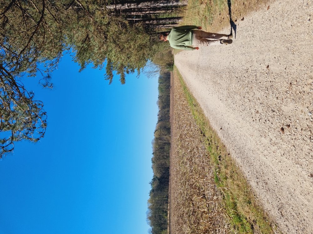
➖️ Long, boring gravel roads and avenues
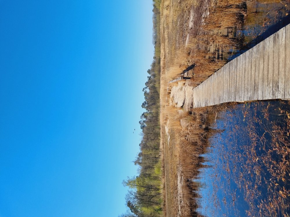
➕️ The long boardwalk
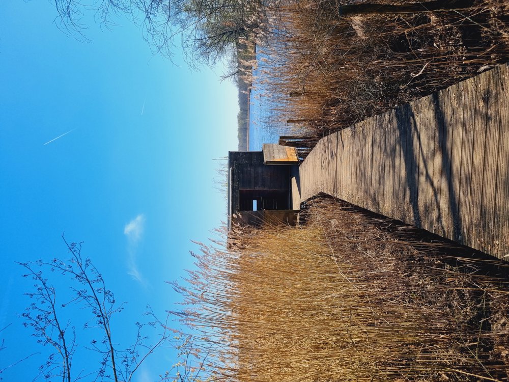
➕️ Lookout with a beautiful view over the Ronde Put
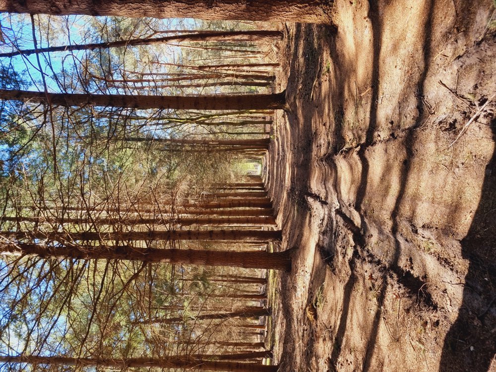
➕️ Nice patch of forest at the end of the walk

🐾 Dogs allowed, on a leash
👶🏻 Mostly stroller-friendly (best with large wheels)
🪑 Plenty of benches
☕️ 🍽 Gasthof De Beiaard

🅿️ Abdijlaan 28, Mol (Free)
(Province of Antwerp)

automatic translation

Icon nodes to follow nodes to follow

Image node 14
0 km
Image node 86
0.6 km
Image node 15
1.1 km
Image node 16
1.2 km
Image node 1
2.9 km
Image node 87
3.8 km
Image node 85
4.6 km
Image node 86
7.5 km
Image node 14
8.1 km
This route does not have any reviews yet. Be the first!
Rate route!

Which POI do you want to show on the map?

Experimental hiking network
Unsigned icon

The route you have chosen runs (partly) along an experimental virtual hiking node network (the blue-coloured nodes and sections on the map).

You must be logged in to plan routes here.

Experimental hiking network
Unsigned icon

The route you have chosen runs (partly) along an experimental virtual hiking node network (the blue-coloured nodes and sections on the map).

These routes are not controlled in the field. Before you start hiking here, take a minute to read what an experimental hiking node network is and what rules you should follow when hiking here.

By clicking 'Accept all cookies,' you agree to the use of cookies for an enhanced user experience, website traffic analysis, and personalized advertisements. Cookie policy