 Hiking
 Login
Login More
More EN
EN Premium
Guttland.Trail Aarnescht
automatic translation
9.8 km • Niederanven
400 0 0/5

 Addresse starting point (approximate)
Mielstrachen 25, 6942 Niederanven, LU
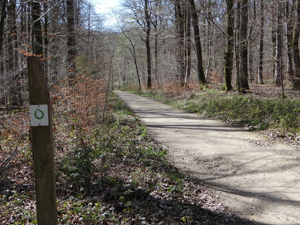
 signage
The route is fully signposted with thematic signs (no nodes).
 Description
We did this beautiful nature walk on 08/04/2025 (13,428 steps).
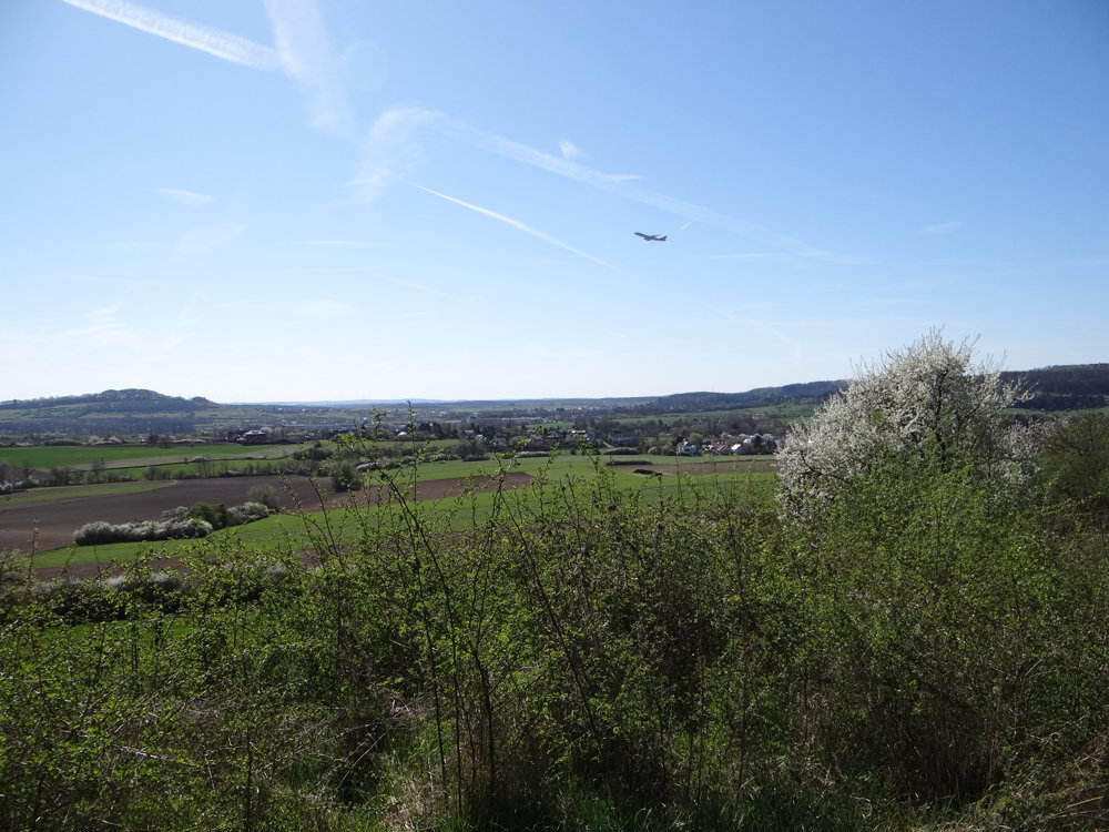
The route is well signposted in both directions with a green open circle on a white background. After 3.5 km, we deviated from the path to explore a very beautiful section of the Lehrpfad Auf Der Aarnescht. This hiking loop is not far from Luxembourg Airport. You can see many planes taking off there, naturally with the accompanying sound. We did not find it disturbing.
SPECTACULAR VIEWS AND UNIQUE NATURE
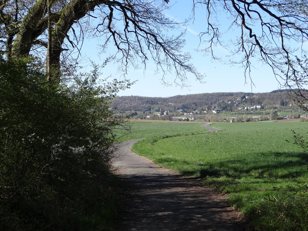
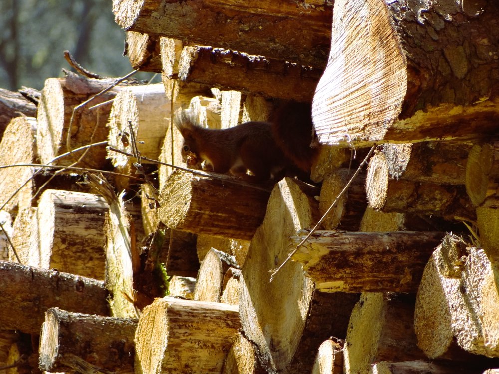
Vast meadows, fields, and forests lead to the unique nature reserve "Aarnescht". This former farmland is known for its microclimate and diverse flora, including orchids. A paradise for plants and animals, but also for hikers!
More photos: https://photos.app.goo.gl/KznLJUaRgzpzym75A
Happy walking,
Eddy, Rita, and Prinske
automatic translation


 Upgrade to Premium Plus
