Loading...

Beerseheide Visbeek Valley

automatic translation

10.5 km • Lille

741 0 0/5

10.5 km 0.0 km 0.0 km
10 km
© OpenStreetMap contributors, Tracestrack

route offered by

Greet Baeyens

Icon starting point Addresse starting point (approximate)

Oude Lillebaan 15, 2275 Lille, BE

Icon type signage of route signage

The route is fully signposted with nodes.

27.1 m 26.8 m 20.9 m 13.2 m These values indicate respectively the number of meters to rise, the highest and the lowest point in meters.
Atmosphere image 1 of route Beerseheide Visbeek Valley Atmosphere image 2 of route Beerseheide Visbeek Valley Atmosphere image 3 of route Beerseheide Visbeek Valley
© Greet Baeyens

Icon description route Description

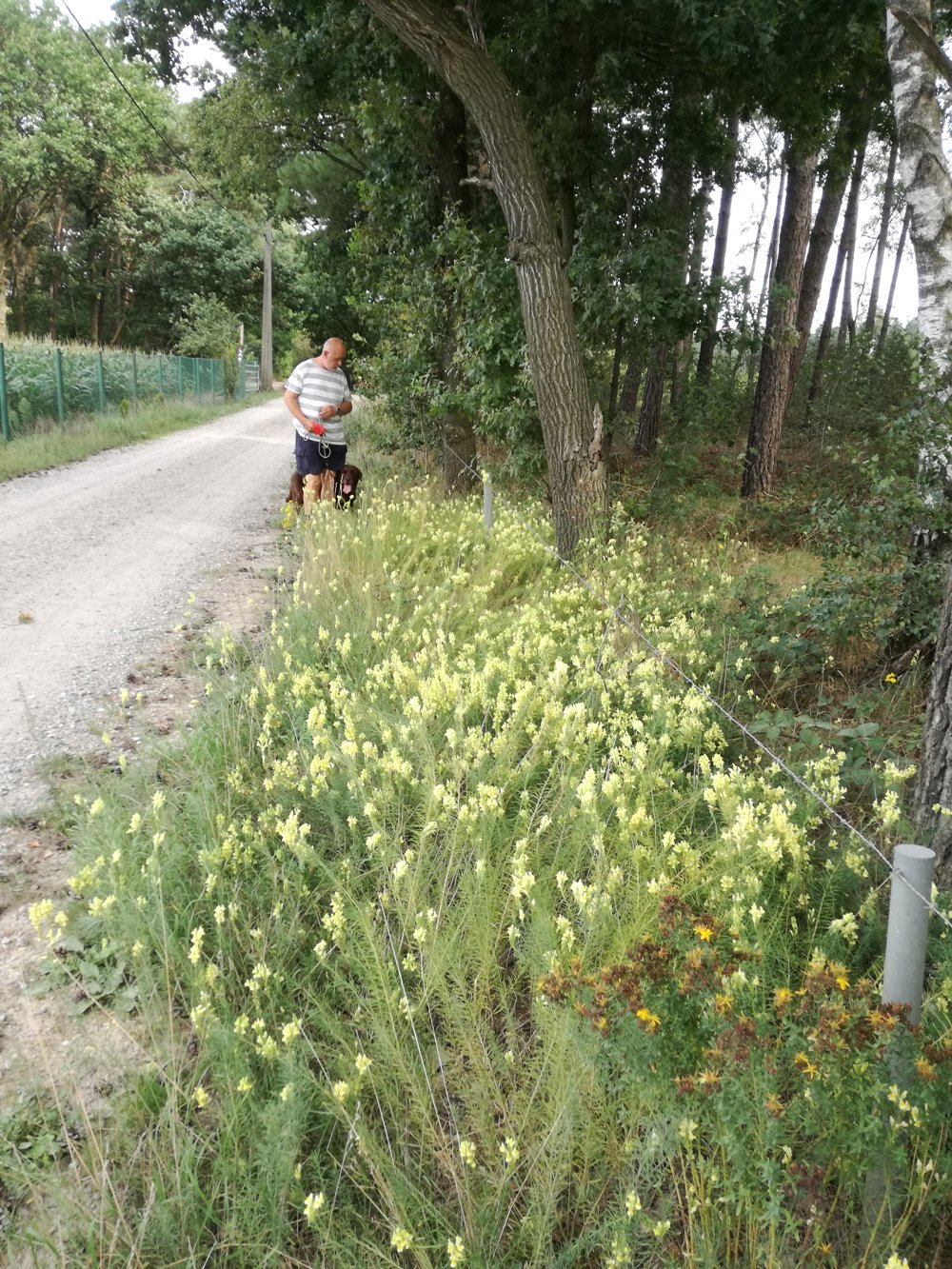
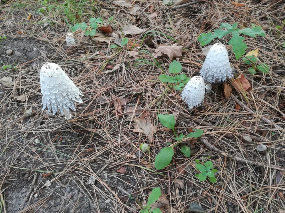
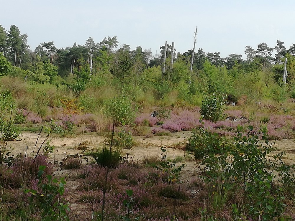
This route is worth it, along forests and heathland.

When you reach the surf pond, you are close to the Lilse Golf Club. You can always stop there for a drink.

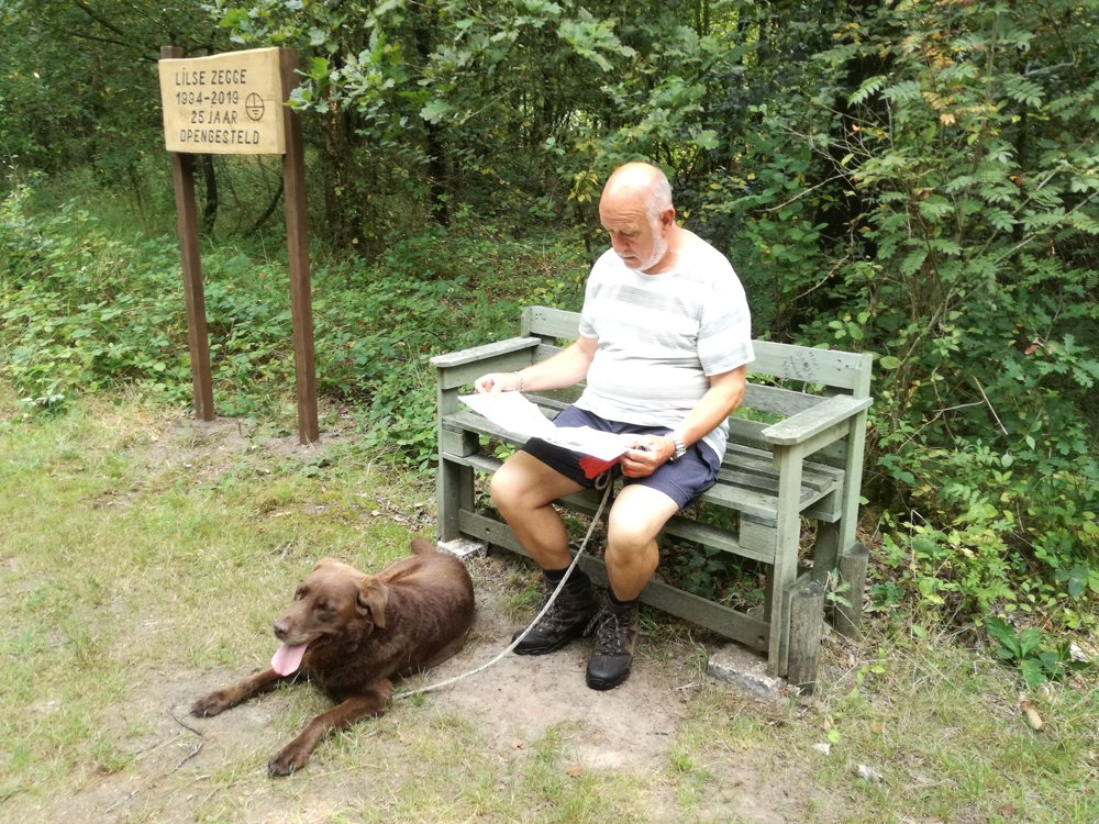
It's definitely recommended to do with your dog, as there's also a swimming area for your four-legged friend at the pond. That way, he can also refresh himself a bit.

automatic translation

Icon nodes to follow nodes to follow

Image node 71
0 km
Image node 72
0.3 km
Image node 20
0.7 km
Image node 21
1 km
Image node 22
1.5 km
Image node 77
1.9 km
Image node 26
2.2 km
Image node 27
2.9 km
Image node 28
3.5 km
Image node 1
5.1 km
Image node 88
5.2 km
Image node 90
5.8 km
Image node 29
6.5 km
Image node 89
6.9 km
Image node 53
7.4 km
Image node 76
8.5 km
Image node 75
9.1 km
Image node 74
9.8 km
Image node 74
9.8 km
Image node 73
10 km
Image node 71
10.5 km
This route does not have any reviews yet. Be the first!
Rate route!

Which POI do you want to show on the map?

Experimental hiking network
Unsigned icon

The route you have chosen runs (partly) along an experimental virtual hiking node network (the blue-coloured nodes and sections on the map).

You must be logged in to plan routes here.

Experimental hiking network
Unsigned icon

The route you have chosen runs (partly) along an experimental virtual hiking node network (the blue-coloured nodes and sections on the map).

These routes are not controlled in the field. Before you start hiking here, take a minute to read what an experimental hiking node network is and what rules you should follow when hiking here.

By clicking 'Accept all cookies,' you agree to the use of cookies for an enhanced user experience, website traffic analysis, and personalized advertisements. Cookie policy