Loading...

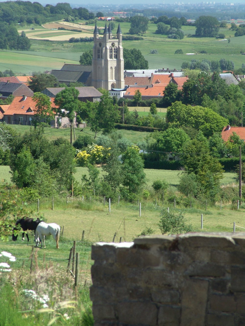
Picturesque Douve Valley in Heuvelland

automatic translation

8.2 km • Heuvelland

840 0 0/5

8.2 km 0.0 km 0.0 km
10 km
© OpenStreetMap contributors, Tracestrack

route offered by

Ingrid Tiersen

Icon starting point Addresse starting point (approximate)

Dikkebusstraat 172, 8958 Heuvelland, BE

Icon type signage of route signage

The route is fully signposted with nodes.

121.8 m 134.4 m 134.3 m 60.2 m These values indicate respectively the number of meters to rise, the highest and the lowest point in meters.
© Ingrid Tiersen

Icon description route Description

This route is ideal for those who love adventurous hikes in an authentic, green environment.

122 meters of elevation - 8.2 km - more than 5 km off-road.

The Douve is a stream that originates in this valley, and centuries ago, this stream was even navigable!

The stream flows into the Leie in Warneton and is still a few meters wide there.

You walk in a stream valley, so after rain, it can remain muddy longer than a walk on flatter paths.

But... it is very beautiful there!

automatic translation

Icon nodes to follow nodes to follow

Image node 10
0 km
Image node 44
0.3 km
Image node 43
0.9 km
Image node 93
1.1 km
Image node 92
1.9 km
Image node 40
2.1 km
Image node 41
2.4 km
Image node 60
2.5 km
Image node 94
2.5 km
Image node 95
3.2 km
Image node 42
3.5 km
Image node 62
3.9 km
Image node 94
4.6 km
Image node 60
4.6 km
Image node 61
5.6 km
Image node 39
6.2 km
Image node 38
6.5 km
Image node 35
6.7 km
Image node 36
6.8 km
Image node 34
7.1 km
Image node 47
7.2 km
Image node 46
7.6 km
Image node 45
7.6 km
Image node 44
7.9 km
Image node 10
8.2 km
This route does not have any reviews yet. Be the first!
Rate route!

Which POI do you want to show on the map?

Experimental hiking network
Unsigned icon

The route you have chosen runs (partly) along an experimental virtual hiking node network (the blue-coloured nodes and sections on the map).

You must be logged in to plan routes here.

Experimental hiking network
Unsigned icon

The route you have chosen runs (partly) along an experimental virtual hiking node network (the blue-coloured nodes and sections on the map).

These routes are not controlled in the field. Before you start hiking here, take a minute to read what an experimental hiking node network is and what rules you should follow when hiking here.

By clicking 'Accept all cookies,' you agree to the use of cookies for an enhanced user experience, website traffic analysis, and personalized advertisements. Cookie policy