 Hiking
 Login
Login More
More EN
EN Premium
Panoramic Stadtbredimus
automatic translation
12.2 km • Stadtbredimus
400 0 0/5

 Addresse starting point (approximate)
Uet 3, 5426 Stadtbredimus, LU
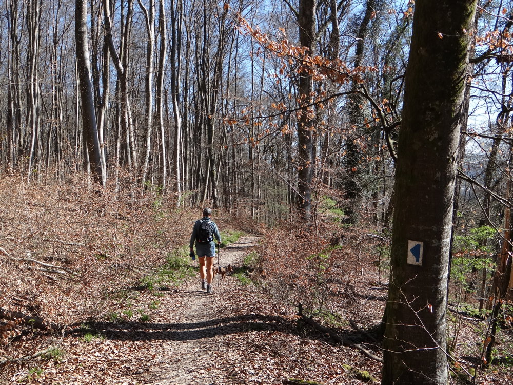
 signage
The route is fully signposted with thematic signs (no nodes).
 Description
Markers in one direction: blue flag on white background
We did this walk on 04/04/2025 (16,406 steps).
This is one of the many auto-pédestres you can find in Luxembourg. The markers have been renewed and the route has also been adjusted. The departure is normally from a large parking lot in Stadtbredimus. We chose to depart from a parking lot along the CR145 in Greiweldange.
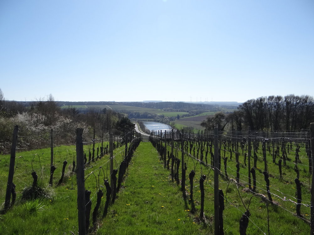
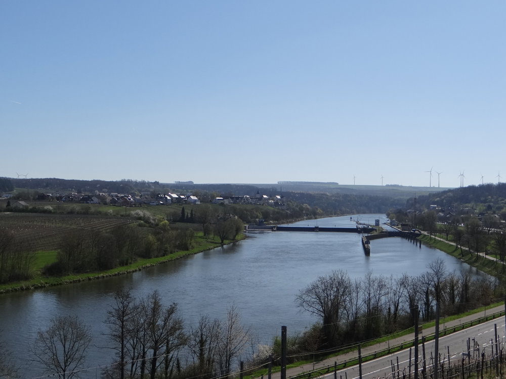
The route alternates between semi-busy roads, paved paths between the vineyards, and wide forest paths. Do not expect narrow paths along the slopes of the Moselle Valley; there are none on this walk. Views of the Moselle and the villages on the banks are plentiful. This walk is a delight and a must for those who love beautiful views.
More photos: https://photos.app.goo.gl/kNnhvGnYAGcDKnjEA
Happy walking,
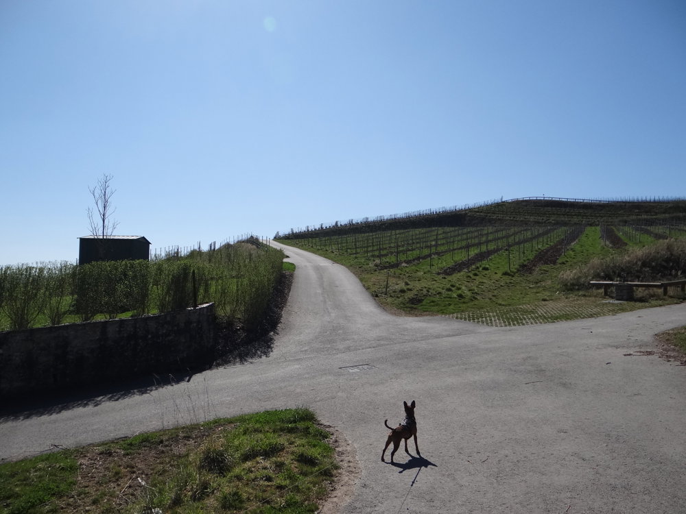
Eddy, Rita and Prinske
automatic translation


 Upgrade to Premium Plus
