Loading...

Walk like a Roman in Nieuwkerke (Heuvelland)

automatic translation

11.4 km • Heuvelland

831 0 0/5

11.4 km 0.0 km 0.0 km
10 km
© OpenStreetMap contributors, Tracestrack

route offered by

Ingrid Tiersen

Icon starting point Addresse starting point (approximate)

Markt 4, 8950 Heuvelland, BE

Icon type signage of route signage

The route is fully signposted with nodes.

119 m 121.5 m 76.2 m 30.7 m These values indicate respectively the number of meters to rise, the highest and the lowest point in meters.
© Ingrid Tiersen

Icon description route Description

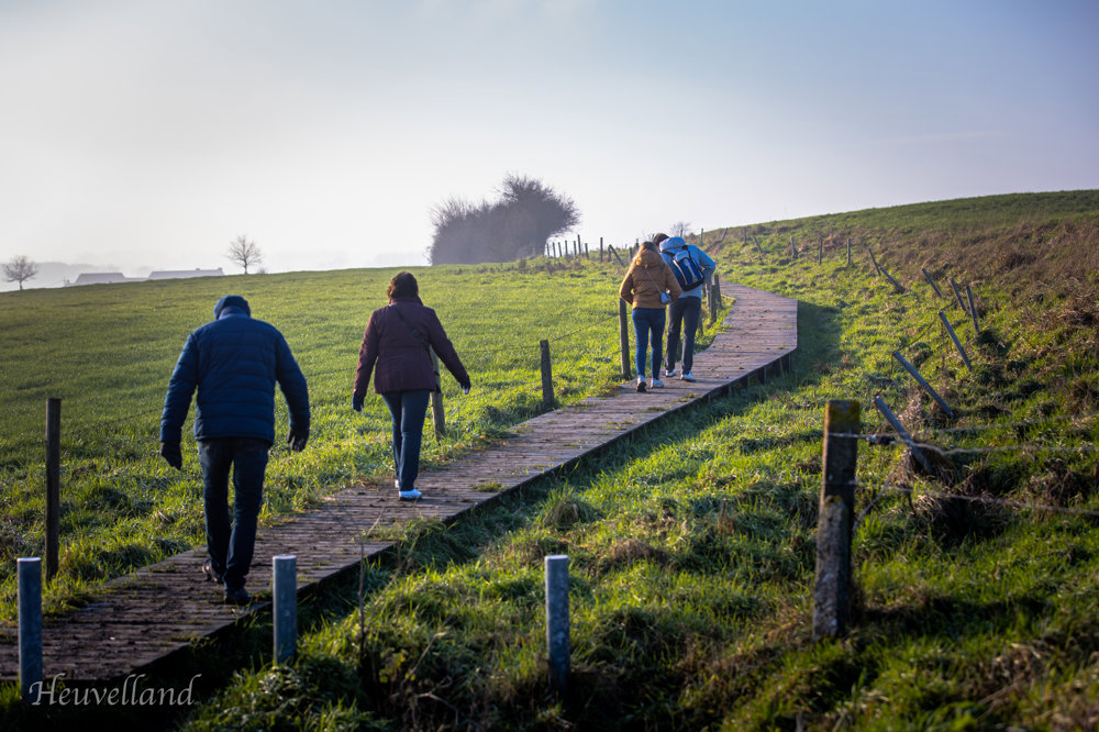
Put on your sandals (or just your hiking shoes) and step into the footsteps of the Romans. This route in Nieuwkerke (Heuvelland) takes you over an ancient Roman road!

You will also walk a part over a nice boardwalk and a part in France.

Distance: 11.4 km

✅ Surface: 3.3 km unpaved including a boardwalk and an ancient Roman road. The rest is paved. Total: 11.4 km.

✅ Elevation: 116 m ⛰️

✅ Start and end point: Nieuwkerke market

🚗 Parking: in the village.

automatic translation

Icon nodes to follow nodes to follow

Image node 14
0 km
Image node 40
1.2 km
Image node 40
1.3 km
Image node 41
2.2 km
Image node 46
2.8 km
Image node 34
4.1 km
Image node 33
4.6 km
Image node 32
4.7 km
Image node 31
5.1 km
Image node 30
5.3 km
Image node 48
5.9 km
Image node 49
6.6 km
Image node 44
7.6 km
Image node 43
8.2 km
Image node 42
8.4 km
Image node 39
9.1 km
Image node 39
9.1 km
Image node 37
9.8 km
Image node 35
10.7 km
Image node 34
11.3 km
Image node 14
11.4 km
This route does not have any reviews yet. Be the first!
Rate route!

Which POI do you want to show on the map?

Experimental hiking network
Unsigned icon

The route you have chosen runs (partly) along an experimental virtual hiking node network (the blue-coloured nodes and sections on the map).

You must be logged in to plan routes here.

Experimental hiking network
Unsigned icon

The route you have chosen runs (partly) along an experimental virtual hiking node network (the blue-coloured nodes and sections on the map).

These routes are not controlled in the field. Before you start hiking here, take a minute to read what an experimental hiking node network is and what rules you should follow when hiking here.

By clicking 'Accept all cookies,' you agree to the use of cookies for an enhanced user experience, website traffic analysis, and personalized advertisements. Cookie policy